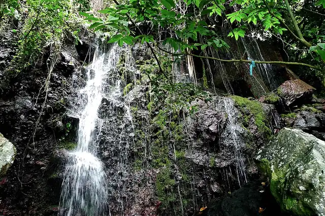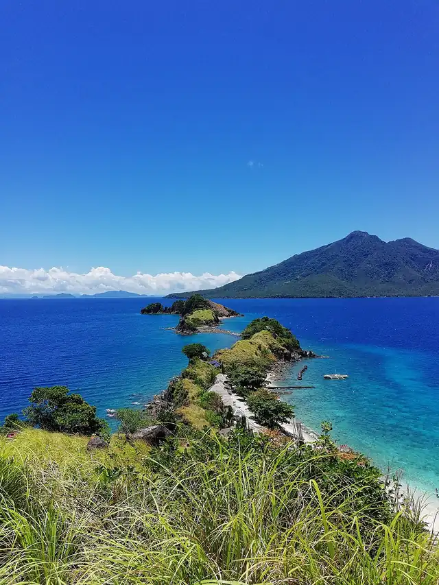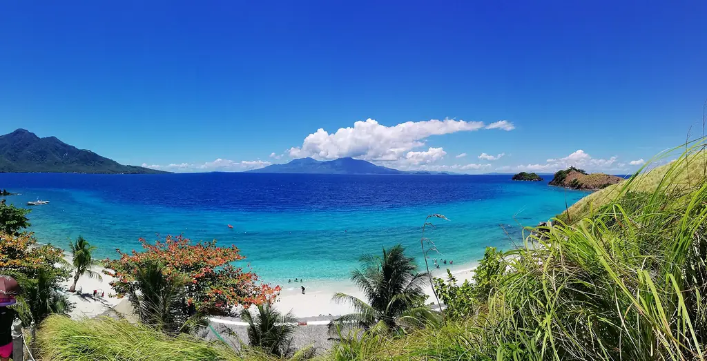
Biliran is a small island province in Eastern Visayas, less than a kilometer north of Leyte, to which it is connected by a bridge. At 536 square kilometers, it is one of the smaller island provinces in the Philippines — a single main island and several smaller ones, with a landscape of steep forested hills, waterfalls and volcanic hot springs.
Naval, the capital, is a small port town on the western coast of the island. A bridge-causeway over Poro Island, at the town of Biliran in the south, connects the province to Leyte. The connection has made Biliran accessible without making it crowded — most visitors to the region go to Tacloban and Leyte, and Biliran remains off the standard itinerary.
The island is volcanic. Its only known historical eruption was a small steam blast at a thermal area in 1939, which dropped ash on Caibiran, and the interior has hot springs, sulfur deposits and untapped geothermal power. Maripipi, the island to the northwest, rises to 924 meters.
The province is predominantly agricultural and coastal — fishing, coconut farming, and rice cultivation are the economic base. Biliran is not yet developed for mass tourism, which is why the waterfalls are still surrounded by forest and the beaches are still quiet.
The 2024 census counted 184,095 people in Biliran. Its 8 municipalities and 132 barangays are all on Biliran Island except Maripipi, an island town to the northwest; Higatangan and Dalutan are among the smaller islands. Mount Suiro, an inactive volcano, is the highest point at 1,301 meters, and only Naval and Caibiran have wide coastal plains for farming.