Map

Stories

Across the Philippines

Stories from 82 provinces. Tap a province name to open its full page.

Abra Cordillera Administrative Region

The Weavers of the Tineg Valley

There is a skill in Abra that takes years to acquire and a lifetime to master. The Itneg women of the Tineg valley sit at their backstrap looms in the morning light and produce cloth that no machine can replicate — not for lack of trying, but because the cloth is not the point. The point is the knowledge encoded in the pattern, the family memory carried in the geometry, the conversation between a weaver and the tradition she inherited.

A pinilian textile from Abra can take weeks to complete. The supplementary weft threads are placed by hand, one by one, following a pattern held in memory rather than written in any guide. When a master weaver dies without passing the pattern to a daughter or granddaughter, that specific arrangement of colour and geometry disappears. Not archived. Not preserved. Gone.

The National Commission for Culture and the Arts has recognised pinilian weaving as a national intangible heritage. But recognition does not put food on a weaver's table, and young women in Tineg have the same calculations to make as young women everywhere: whether to stay with the loom, or go to the city. Some stay. The cloth continues. The mathematics of loss and survival runs through every thread.

The Basi Revolt's Shadow

In 1807, the people of Ilocos Sur rose against the Spanish government's monopoly on basi — the sugarcane wine that was the everyday drink of the Ilocano lowlands. The Basi Revolt was suppressed within months, but its memory runs through the culture of the entire Ilocos-Abra region. It is remembered not as a failure but as evidence: that the people of this corner of Luzon have always understood what is being taken from them, and have not always accepted it quietly.
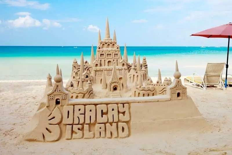
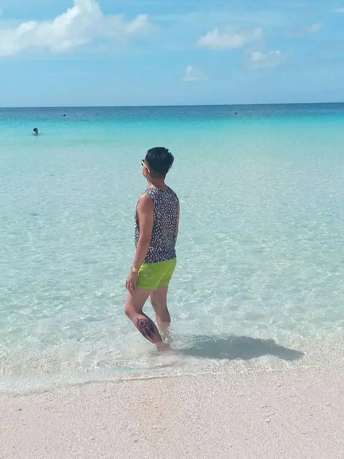
The Woman and the Golden Goddess

In 1917, a Manobo woman was working near the Wawa River in Agusan province when she pulled from the ground a small golden figure — seated, cross-legged, serene, cast in gold of unusual purity. She brought it to the local administration. It passed through several hands. Eventually it reached an American official who arranged its transfer to the United States.

The Golden Tara of Agusan — as it came to be known — is approximately 9th century in date, Hindu-Buddhist in iconography, and Mindanaoan in provenance. It is currently held in the Field Museum of Natural History in Chicago, where it has been on display for decades. The Philippine government has raised the question of repatriation. The Field Museum has not returned it.

The tara — a female bodhisattva in Buddhist tradition — says something about the world that Butuan once occupied: a world connected to Indian Ocean trade networks, Hindu-Buddhist spiritual currents, and a goldsmithing tradition of high sophistication. The figure is not an anomaly. It is evidence of what was here before the Spanish, before the Americans, before the colonial diminution of Philippine history to a story that begins with a European arriving on a ship.

The Oldest Boats in Southeast Asia

When archaeologists began excavating near the Agusan River in the late 1970s, they found wood. Ancient wood, preserved in the river sediment. The balangay boats that emerged from that soil were dated to as far back as the 4th century CE — predating any other excavated watercraft in the region by centuries. Butuan had been sailing before the ancestors of any European power had named the seas it sailed on.

In 1917, a Manobo woman named Maria was working near the banks of a tributary of the Agusan River when she found something in the mud. It was heavy, gold-colored, and shaped like a seated figure — a woman, or perhaps a deity, with elongated ears and hands resting on her knees. Maria brought it to a local school teacher named R.E. Templeton, who brought it to the attention of American colonial officials.

The figure — now known as the Golden Tara of Agusan or the Agusan Image — passed through several hands before arriving at the Field Museum in Chicago, where it has been held since 1922. It is made of hammered gold alloy, stands about 19 centimeters high, and is dated to roughly the 9th to 10th century. Scholars debate its cultural origins: some see Hindu-Buddhist influences from the Sri Vijaya trading networks, others point to indigenous Manobo symbolic systems. The figure does not fit neatly into any single cultural tradition.

What the discovery revealed was that the Agusan basin — remote, difficult, flooded for months each year — was once connected to the wider world of maritime Southeast Asia. Gold-working of this sophistication does not emerge from isolation. The marsh and the river were trade corridors, not barriers. The communities that lived along them were not peripheral. They were, for a time, part of something larger.

The figure remains in Chicago. The Philippine government has not formally requested its return, and the Field Museum has not offered. In Bunawan, the story of how it was found and where it went is still told. Maria's name is remembered. The mud of the Agusan, it turns out, holds more than fish.

Aklan Western Visayas
← All stories
Lugar · Malay

Boracay

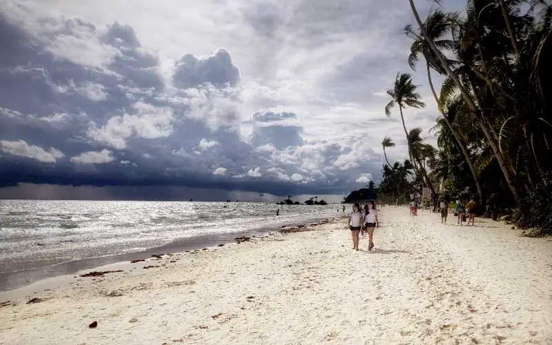
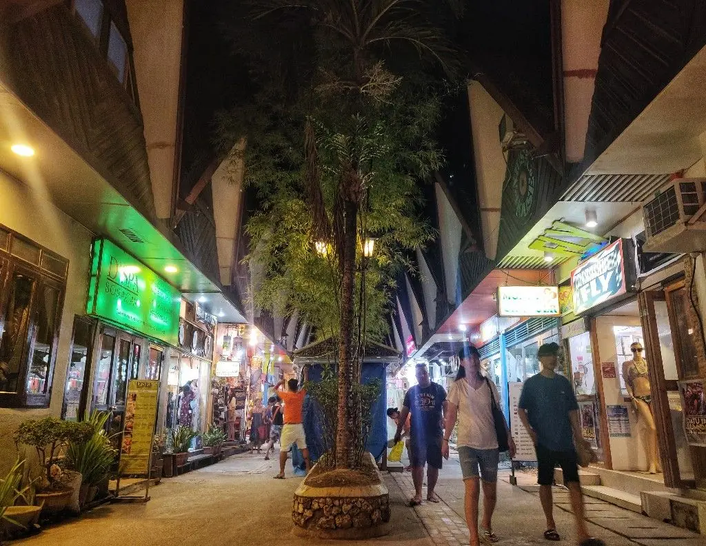
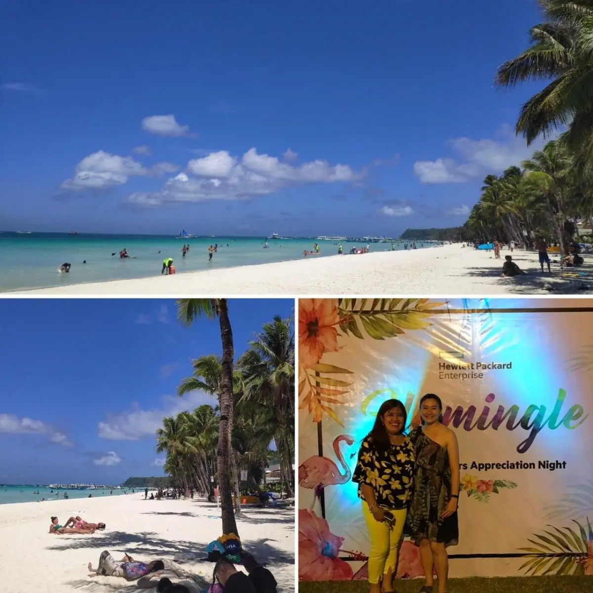
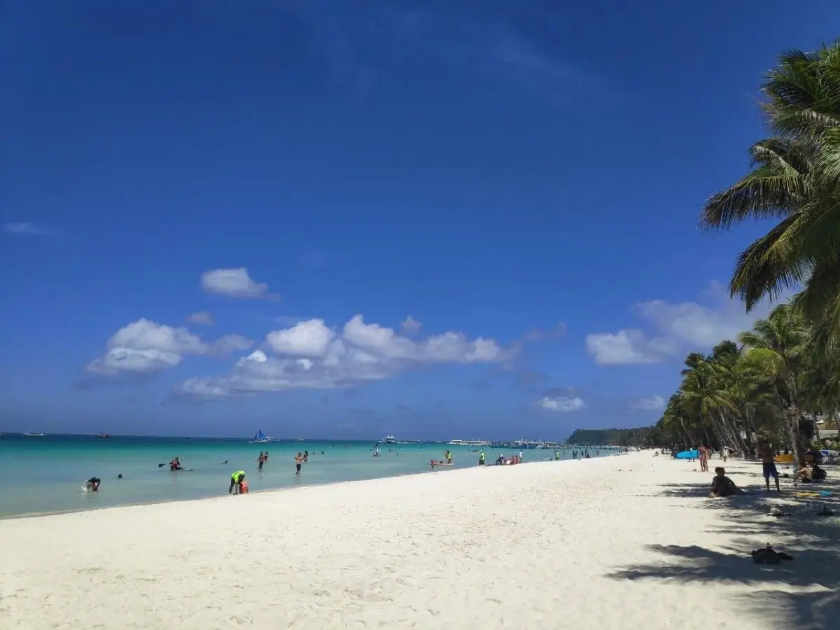
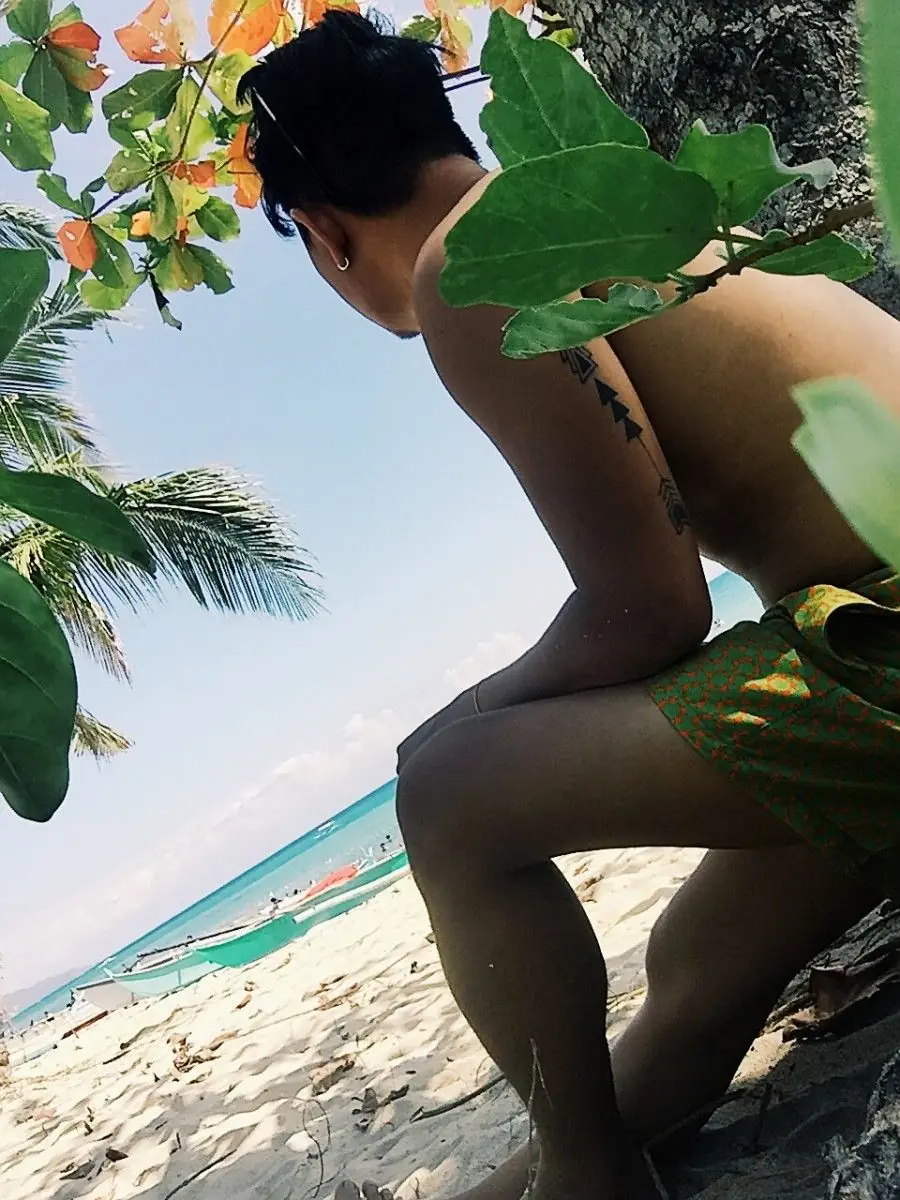
Boracay, in the town of Malay, Aklan, is one of the finest islands in the country and one of the most famous in the world. White sand, clear water, a cool breeze; whatever you came for, you will find it here.

After its six-month rehabilitation, the island came back at its best, cleaner and better kept. There is island-hopping, paraw sailing, and stand-up paddling, and along the shore, restaurants, shops, and easy days on the sand.

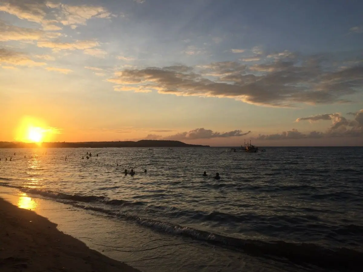
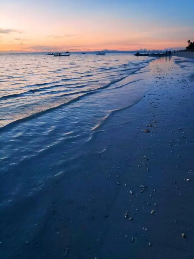
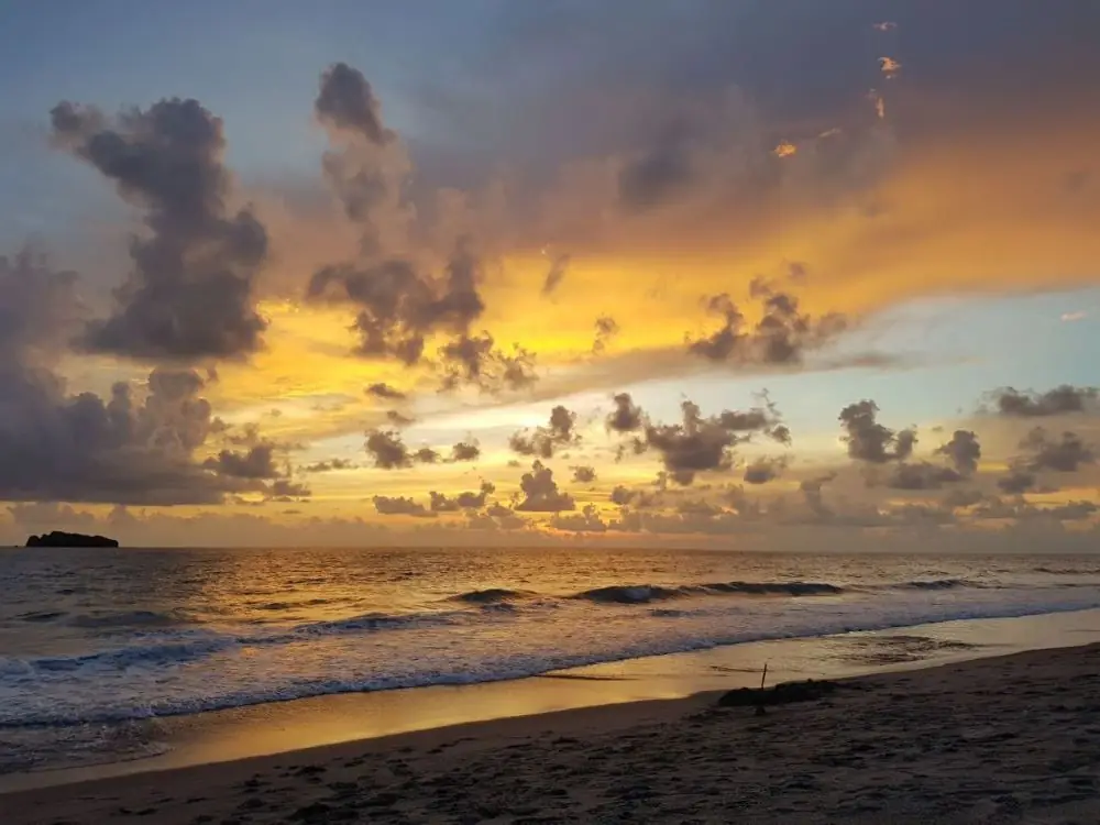
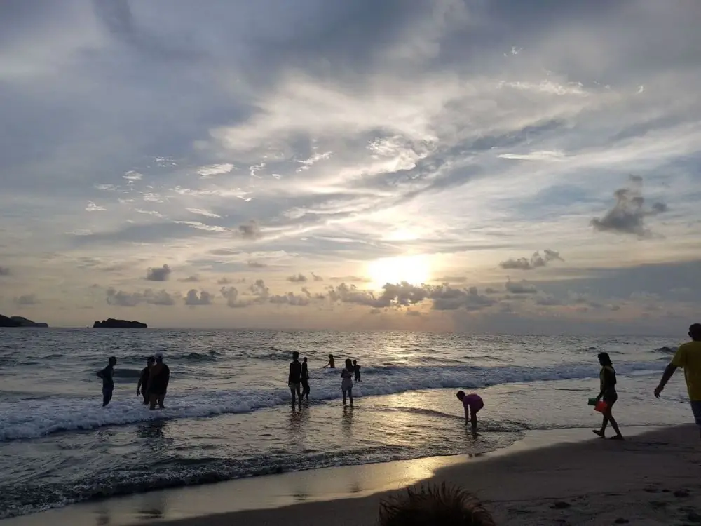
I have watched many sunsets, but Boracay's is something else. As the sky changes over the water, it is easy to see why people call this beach a masterpiece. I hope to come back and give it the time it deserves.

Mga Larawan

Albay Bicol Region
← All stories
Lugar · Legazpi

Mayon Volcano

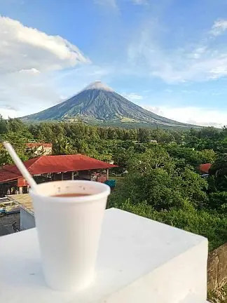
There is no better view for a morning coffee than Mayon Volcano. On a recent pullout in Albay, our team took our coffee with Mayon standing over us, and the scenery more than matched the brew.

Mayon rises about 2,463 meters above the Albay Gulf, the highest point in the Bicol Region and famous worldwide for its near-perfect cone. It is a stratovolcano of the Pacific Ring of Fire, and the most active in the country.

Its eruptions have shaped both the land and the life around it. The ash has made the soil rich, good for the region's pili nuts and its famous spicy peppers. To sit with coffee in Mayon's shadow is to take in centuries of history in one quiet moment.

Mga Larawan

← All stories
Pagkain · Albay

Sili Ice Cream

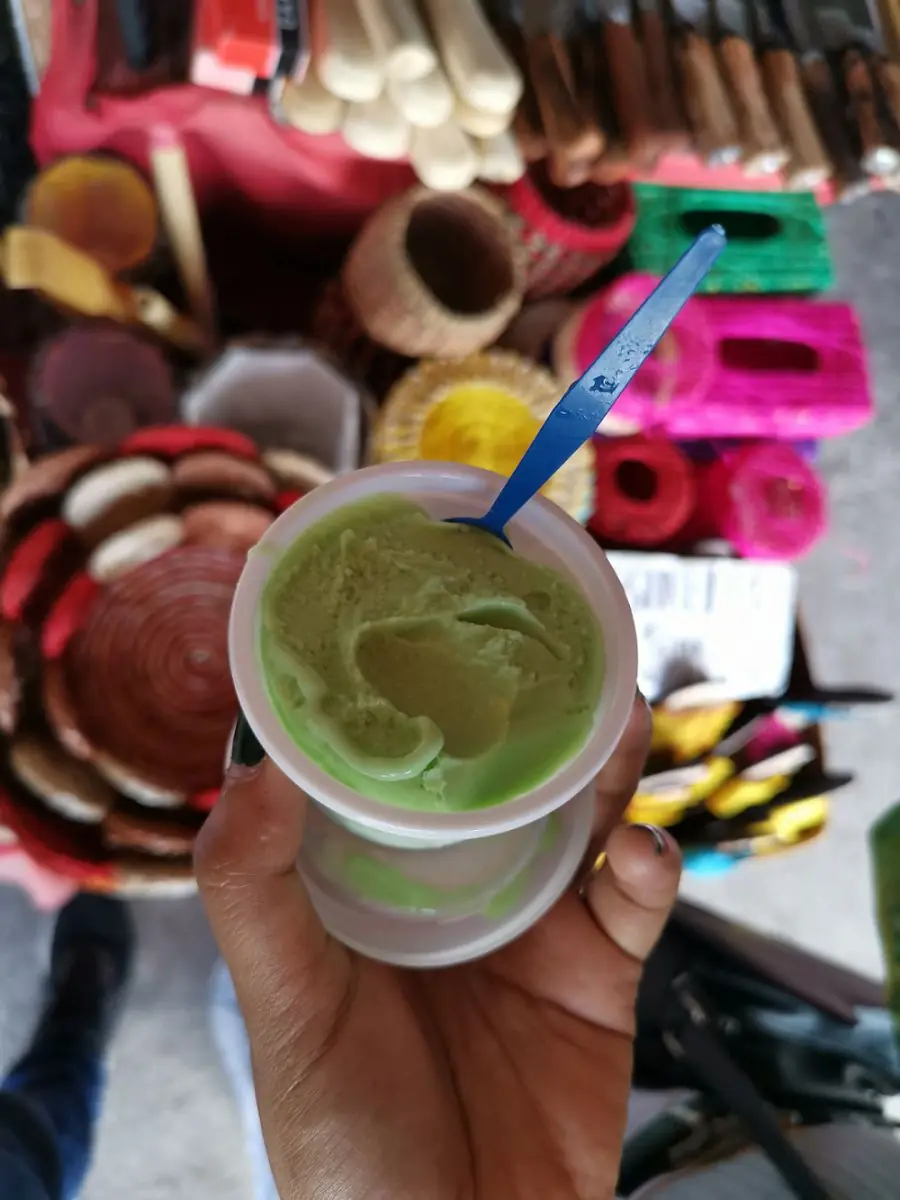
Chili runs through Bicol cooking, so it should be no surprise that it turns up in dessert. In Albay, the treat visitors come looking for is sili ice cream.

It is sweet on the first lick, then a warm, spicy bite follows. The famous maker is the 1st Colonial Grill in Legazpi, which serves it in graduated heat levels, from a gentle level one up to a fiery top tier. Try it, and be oragon, brave.

Mga Larawan

Antique Western Visayas
← All stories
Lugar · Sibalom

The Rafflesia of Sibalom

In Sibalom, Antique, grows one of the strangest wonders of Philippine nature: the Rafflesia, among the largest flowers in the world. Do not be fooled by the word flower, though. Its smell is so foul it is also called the corpse flower.

The species here, Rafflesia speciosa, known locally as uruy, was first found in 2000 at the Sibalom Natural Park, on Mount Porras. It was the third Rafflesia species recorded in the Philippines. In full bloom it can stretch about fifty centimeters across, and it flowers mostly from February to April. It is critically endangered.

Antique has taken the flower to heart. It is the star of the Binirayan Festival, on floats and costumes and in design contests, and the town that found it made it a symbol. A rare treasure, and a strange one, that we are lucky to have.

Apayao Cordillera Administrative Region

The river does not look like a road, but it was one. The Apayao River connected communities that had no other connection. A family upriver would load their canoe with sweet potato, forest products, and woven cloth, paddle downstream for a day, trade in the market town, and return. The transactions were simple and regular. The river carried the economy.

The Isnag built their settlements on the river's banks and oriented their houses toward the water. When the Spanish missionaries came up from Cagayan in the 18th century, they traveled the same river. When the American constabulary established posts in the early 20th century, they followed the river too. The waterway that the Isnag used for commerce became the vector for everyone who wanted something from the interior.

What the outsiders consistently underestimated was how much forest there was. The Cordillera mountains behind Apayao are not a gentle highland — they are steep, dense, and navigable only by trails that require local knowledge. During the years of armed conflict in the 1970s and 1980s, the forest provided cover for everyone who needed it. The NPA operated in the interior. So did traditional communities that simply wanted to be left alone.

The forest is still there. Apayao retains more old-growth forest than almost any province in Luzon. This is partly geography, partly politics, and partly the Isnag tradition of treating the forest as something you live within rather than something you convert. The trees are older than the Spanish records of the province. The river carries the same water it always has. The province that nobody visits has kept, mostly by accident, what everyone else has already lost.

Aurora Central Luzon
← All stories
Lugar · Dingalan

Dingalan, the Batanes of the East

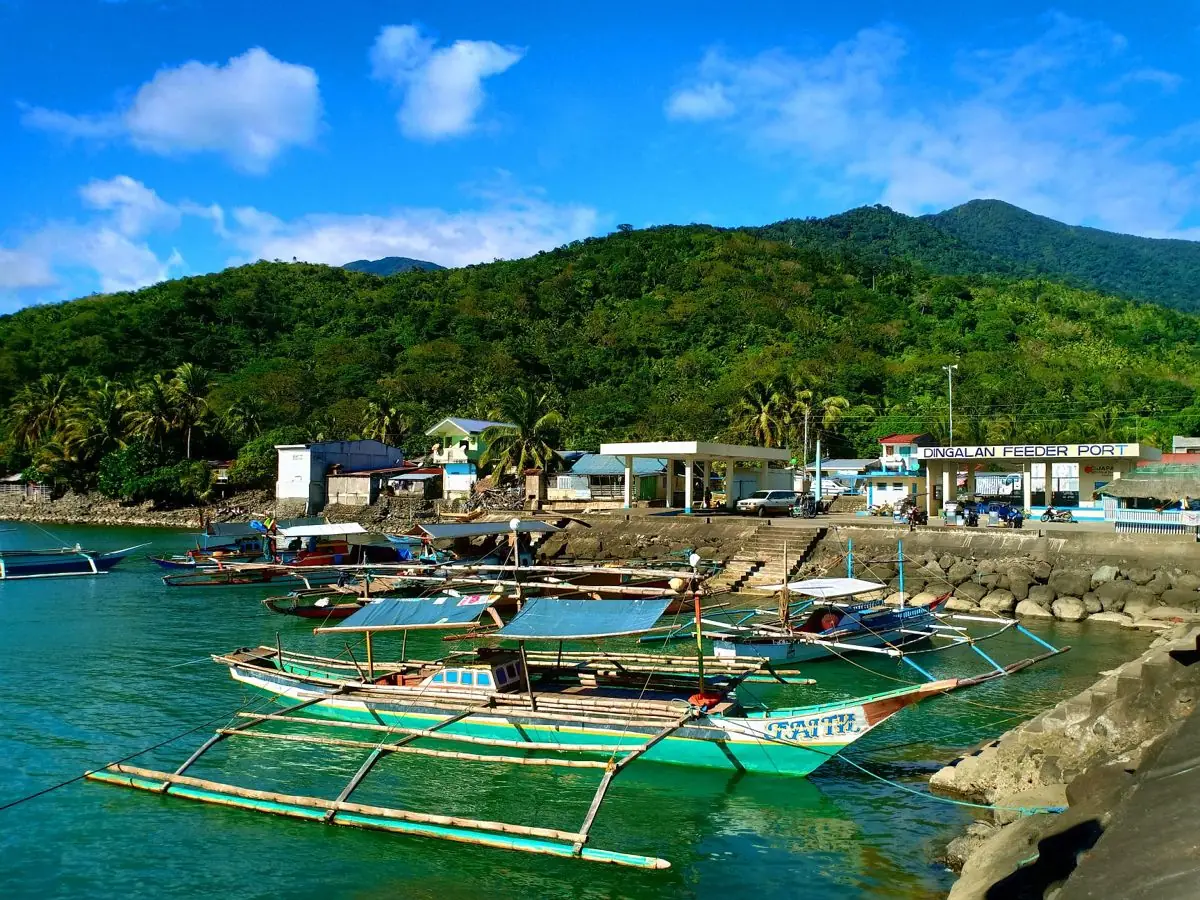
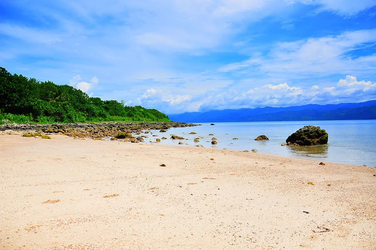
On the eastern coast of Luzon, facing the Pacific, lies the town of Dingalan, Aurora, a coastal paradise of beaches, hills, and cliffs.

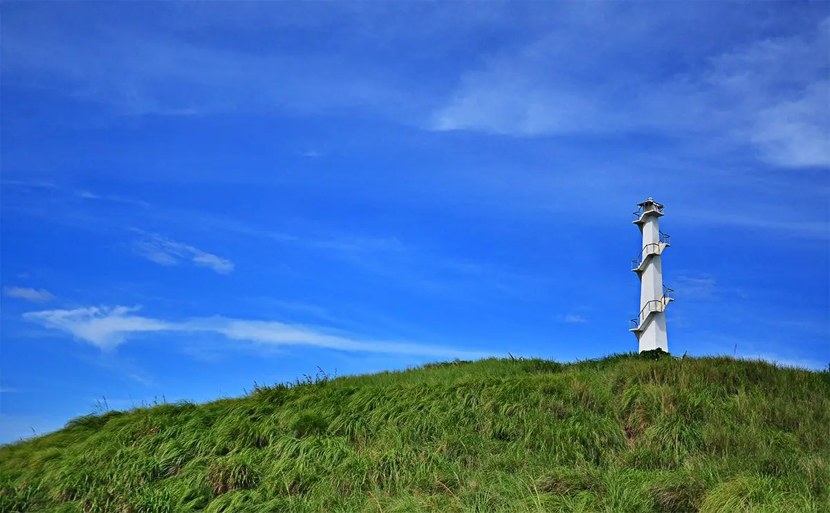
People call it the Batanes of the East, for its rolling green hills and dramatic sea cliffs. From Lighthouse Hill you can stand at the edge and look out over the open ocean, the wind in your face.

There is more to find: Butas na Bato, the rock hole beach shaped by unusual stone formations, and the Lamao Caves, with their stalactites and stalagmites for those who like to explore below ground. It is a fine place to slow down, unwind, and share the view with someone.

Mga Larawan

Basilan BARMM

A Yakan weaver holds the pattern in her head. There is no written chart, no printed template. The design — diamonds nested inside diamonds, borders of interlocking chevrons, the count of warp threads between each color shift — exists only in memory, transmitted from mother to daughter over years of watching and then doing. When a weaver dies without passing on a pattern, that pattern is gone.

The Yakan have been weaving on Basilan for as long as oral history reaches. The cloth they produce, called pis syabit and bunga sama among other names, is classified by pattern complexity and occasion. Wedding cloth requires different patterns from festival cloth. The sash a man wears to Friday prayers carries different markings than the one worn to a headman's gathering. The textile is a language with its own grammar.

The decades of conflict affected the weaving. When communities displaced to evacuation centers, the looms stayed behind. When women spent years in temporary housing, the regular rhythm of production was disrupted. Some patterns were not relearned after the displacement. The cultural toll of the conflict shows up in these absences — in the patterns that now exist only in the memory of the oldest weavers, or not at all.

The peace process brought some stability, and the weaving has recovered in the communities that returned to their land. Organizations working on Yakan cultural preservation have documented patterns and supported weaving cooperatives. In Lamitan and Isabela, younger women are learning the craft again. The cloth continues to be made. Some of what was lost cannot be recovered. But the loom is still moving, and the thread is still being counted, and the pattern is still being held in the weaver's mind, which is where it has always lived.

Bataan Central Luzon
← All stories
Kasaysayan · Bagac

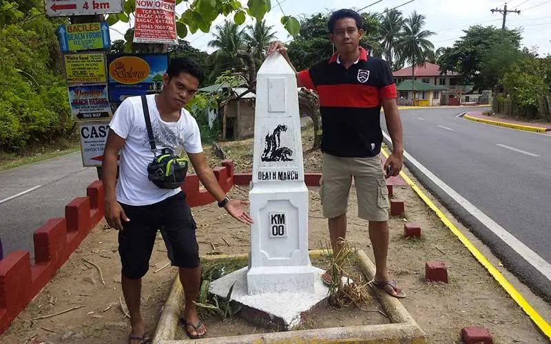
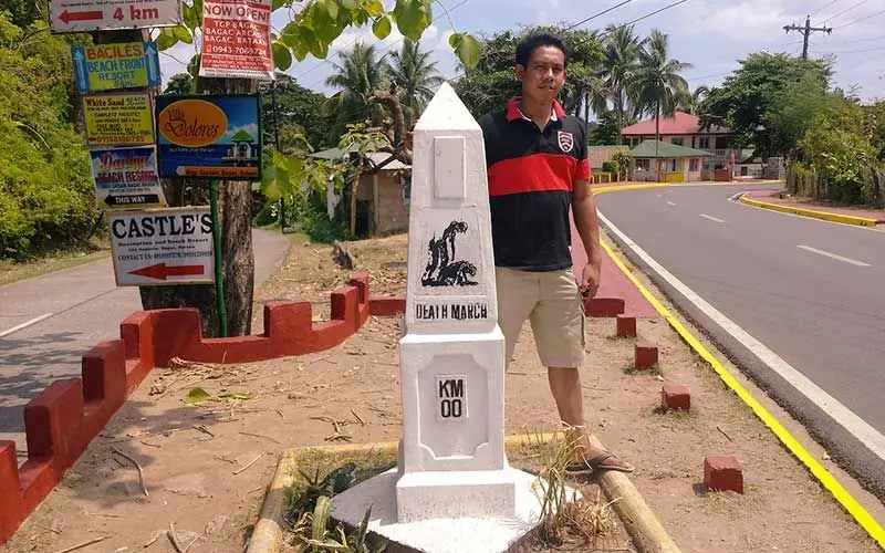
The Zero Kilometer Death March Marker

The Zero Kilometer Death March monument stands in Bagac, Bataan, one of the two starting points of the infamous march. The other is in Mariveles.

After Bataan fell in April 1942, tens of thousands of prisoners of war, some 66,000 Filipinos and 10,000 Americans, were forced to walk under the blazing sun toward Camp O'Donnell in Capas, Tarlac. They marched with little food or water, and were made to drink from dirty ditches along the way.

Estimates of the dead vary widely, from several thousand to many more, uncertain because many escaped into the towns. Some were shot, bayoneted, or beheaded. The markers at Bagac and Mariveles keep the memory of that cruelty, and of those who endured it.

Mga Larawan

Batanes Cagayan Valley

The house has been here for two hundred years. The walls are three boulders thick, cut from the andesite of the island and fitted together without mortar. The roof is cogon grass, relaid every generation by the family who owns the house and the neighbors who come to help. The windows are small. The ceilings are low. It is not a comfortable house by urban standards, but it has survived forty-seven typhoons by direct count — the family keeps the record.

The Ivatan did not build like this because they had no other option. They built like this because they understood what the sea would send. The Luzon Strait is one of the most consistently violent bodies of water in Asia — typhoons form east of the Philippines and curve northwest directly across the Batanes islands. The stone house is not picturesque. It is an answer to a problem that has no other solution.

Travelers who come to Batanes for the photographs — and many do — take pictures of the stone houses against green hills and blue sky. What the photographs do not capture is the wind. The wind in Batanes is not a weather event. It is a constant condition, stronger in some seasons than others but never absent. The cogon grass bends under it. The cattle lean into it. The stone houses stand against it the way they always have — by being heavier than anything the wind can move.

The family who owns the two-hundred-year house still lives in it. Their great-grandchildren grew up inside those walls and moved to Manila for work. When they return for Christmas, they sleep in the house where their ancestors slept. The floors are the same. The walls are the same. Outside, in the dark, the wind off the strait comes through without stopping, and the house receives it as it always has, which is to say without moving at all.

Batangas CALABARZON
← All stories
Kultura · Nasugbu

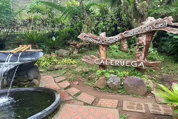
The Chapel of Caleruega

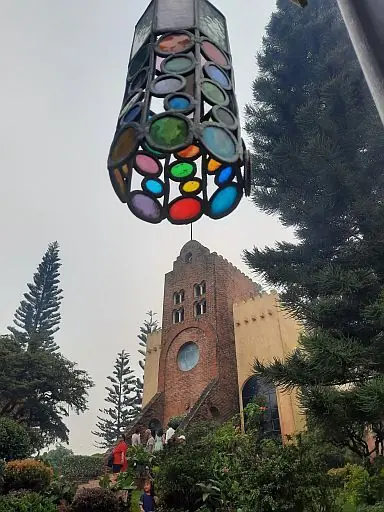
In the hills of Batulao in Nasugbu, Batangas, about 80 kilometers from Manila, stands the Transfiguration Chapel of Caleruega, one of the country's most loved places for prayer and for weddings.

The chapel was built in 1994 by the Dominican Order as a retreat for prayer and meditation. It is named after Caleruega in Spain, the birthplace of St. Dominic de Guzman, who founded the order.

The design blends Spanish, Moorish, and Filipino styles. White walls, square columns, round stained-glass windows, and slender bell towers rise above the hills. Above the altar, a stained-glass window shows the Transfiguration of Christ.

The chapel sits on an eight-hectare Dominican property, with a cloister, landscaped gardens, and quiet walkways. From its hilltop you look out over Mount Batulao and the rolling country around it. It is a place made for stillness.

Mga Larawan

← All stories
Kasaysayan · Tanauan

Apolinario Mabini

Apolinario Mabini, the Sublime Paralytic and the Brains of the Revolution, was born on 23 July 1864 in the barrio of Talaga, Tanauan, Batangas.

A bright student, he won a scholarship to the Colegio de San Juan de Letran and studied law at the University of Santo Tomas. In 1896, polio left him paralyzed from the waist down, but it did not slow his mind.

When the revolution gave way to the first Philippine Republic under Emilio Aguinaldo, Mabini became its first Prime Minister and its foreign minister. He guided policy and negotiated with foreign powers, including the United States during the Philippine-American War.

One point is often confused. Mabini did not write the Malolos Constitution; that was drafted by Felipe Calderon, and Mabini in fact argued against framing it as it was done. His own writings, El Verdadero Decalogo and his constitutional program, set out his vision of a self-reliant nation ruled by law.

After the capture of Aguinaldo in 1901, Mabini was exiled to Guam. He returned in 1903 and died soon after, on 13 May 1903, of cholera. His life is a reminder that leadership is a matter of the mind and the will.

Mga Larawan

← All stories
Kultura · Batangas City

Montemaria and the Tower of Peace

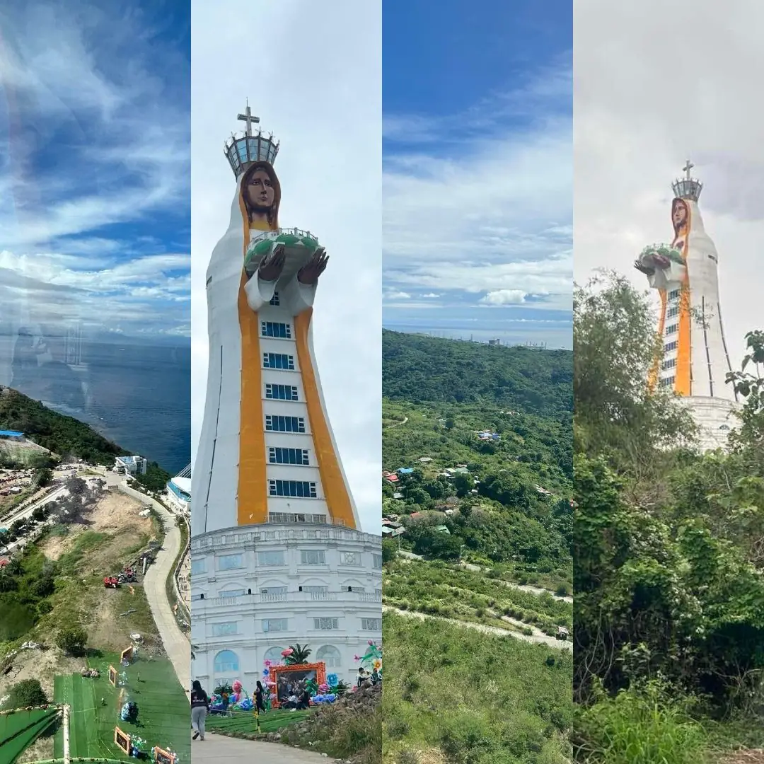
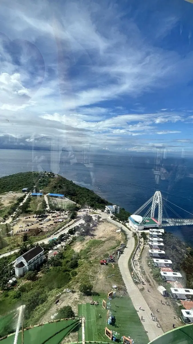
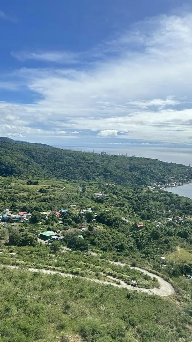
On a hill above the coast of Batangas City stands the Montemaria shrine, a place of faith with a wide view of Batangas Bay.

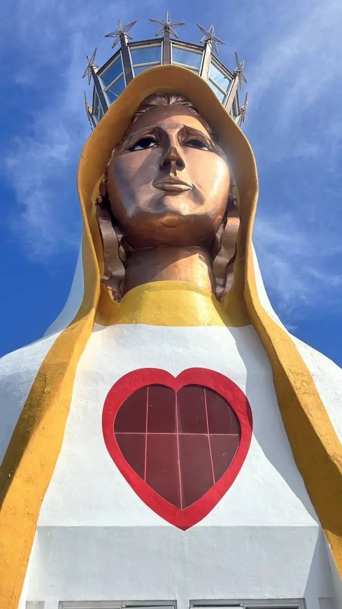
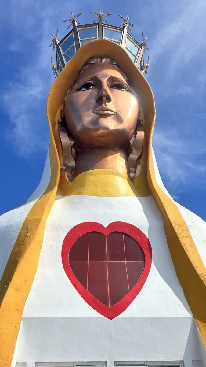
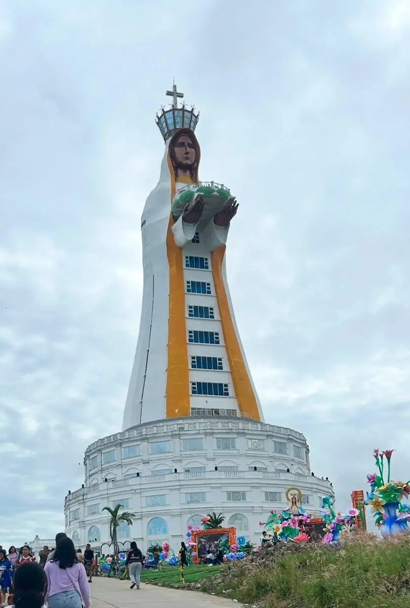
The site holds two Marian statues, both by the sculptor Eduardo Castrillo. The first, Our Lady of the Assumption, was completed in 2004. The second is the reason Montemaria is now famous: Mary, Mother of All Asia, the Tower of Peace, which opened on 7 December 2021. At about 98 meters, it is the tallest statue of the Virgin Mary in the world.

Around the shrine are meditation gardens, walking paths, and an eco-park. Thousands of pilgrims come each year, especially during the Marian feasts, for both the faith and the quiet.

Mga Larawan

← All stories
Kasaysayan · Taal

Taal Basilica

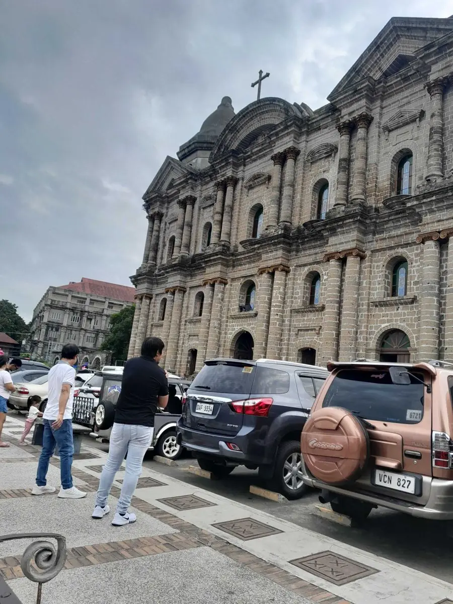
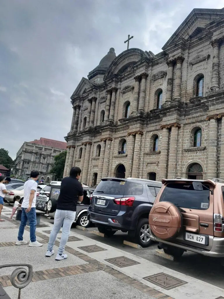
The Basilica of St. Martin of Tours in Taal, Batangas, is often called the largest Catholic church in Asia. It is a traditional claim, widely repeated, and the church is without doubt one of the largest in the region.

The town and its first church were founded in 1572 by Augustinian missionaries, near Taal Lake. The great eruption of Taal Volcano in 1754 destroyed the old town and church, and the community moved to the present site.

Work on the church you see today began in 1856 and was completed in 1878. It is grand Spanish-colonial architecture, with Baroque detail, a vast interior, frescoes, and a richly carved altar. It remains an active place of worship and draws visitors from across the country.

Mga Larawan

← All stories
Lugar · Nasugbu

Punta Fuego and Fortune Island

Punta Fuego is an exclusive beach community on the coast of Nasugbu, Batangas, one of the nearest coastal escapes to Manila.

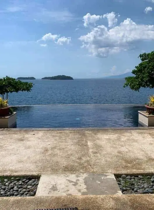
It is a private village of resorts and homes, so you cannot walk in; you need a reservation to stay. Club Punta Fuego has an infinity pool that seems to spill into the sea, and a calm that makes it a good place for quiet time, alone or with family.

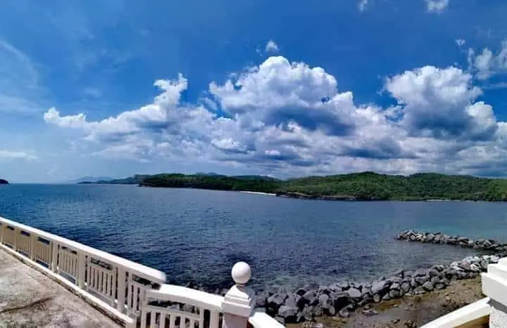
There is history in these waters. Off the coast lies Fortune Island, where in 1646 the Spanish galleon San Diego first met three Dutch warships, a prelude to the Battles of La Naval de Manila. From Punta Fuego you can look out toward the island where that story began.

Mga Larawan

← All stories
Lugar · San Juan

Laiya

You do not need to travel far from Manila to breathe and rest. Laiya, in San Juan, Batangas, is close enough for a weekend and far enough to feel away.

Its beaches are made for snorkeling in clear water, for swimming among the fish, and for doing nothing at all. In the evening you can watch the sunset and, later, the stars, with the sound of the waves for company.

Mga Larawan

← All stories
Lugar · Calatagan

Little Boracay of Calatagan

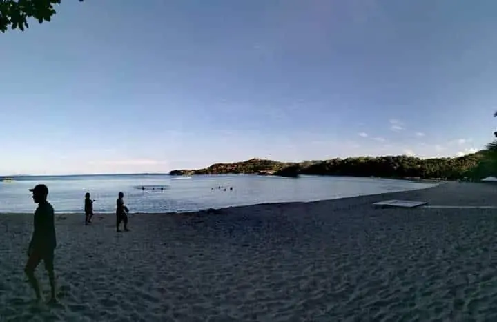
Off the coast of Calatagan, Batangas, lies a white sandbar so bright it is nicknamed Little Boracay.

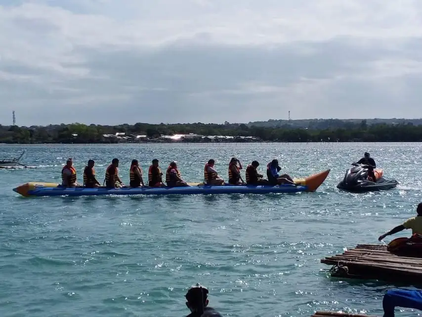
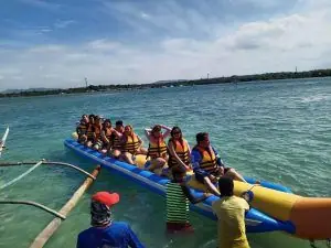
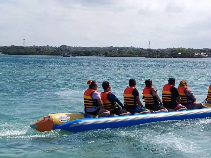
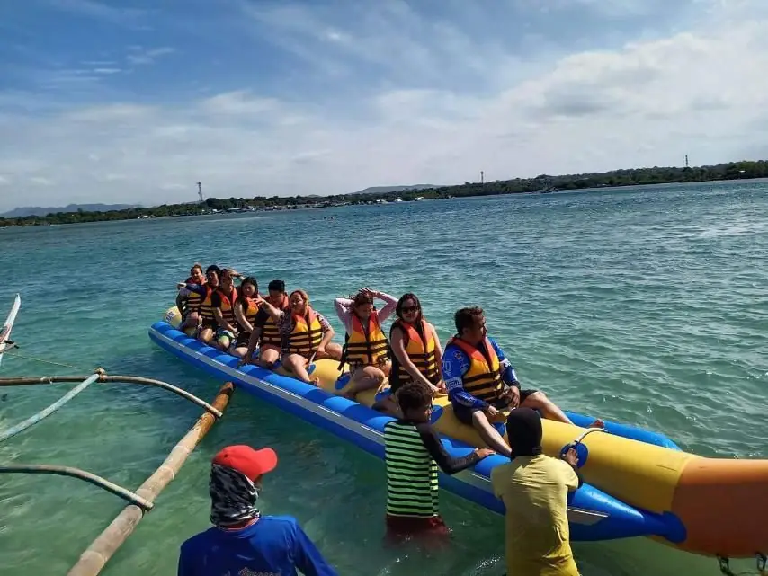
It is only three to four hours from Manila, and boats from the Calatagan resorts reach it in minutes. The sandbar and the nearby Starfish Island offer snorkeling, kayaking, jet ski, and banana boat rides.

Our team tried the banana boat, and it is the one ride you should not miss. Hold tight, scream, and feel the waves and the sun. The moments with friends on that sandbar are worth the trip.

Mga Larawan

Benguet Cordillera Administrative Region
← All stories
Kultura · La Trinidad

The Colors of StoBoSa

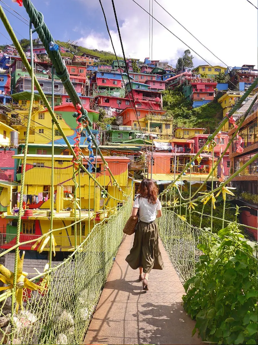
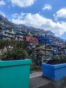
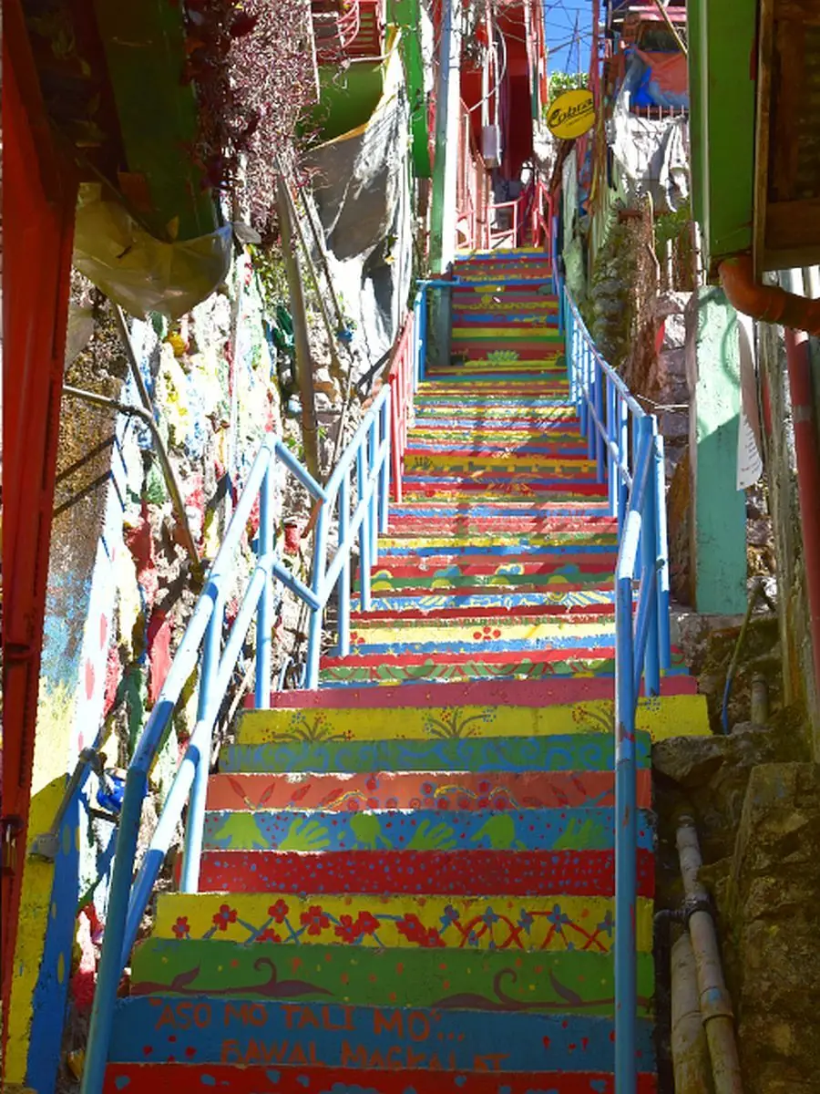
Above the highway in La Trinidad, Benguet, a whole hillside of houses has been turned into a giant painting. This is the Colors of StoBoSa, named for the sitios of Stonehill, Botiwtiw, and Sadjap in Barangay Balili.

Once a plain cluster of concrete homes, the hillside was transformed in 2016 by the artists of Tam-awan Village and the Chanum Foundation, led by the solar artist Jordan Mang-osan, with support from the Department of Tourism. Around 500 residents and volunteers joined in, and it took roughly 1,800 gallons of paint to cover the homes.

Inspired by the painted favelas of Brazil and a culture village in Busan, South Korea, the mural turned what many once called an eyesore into one of La Trinidad's most photographed sights. It is best seen in the dry months, from November to April, and easy to reach from Baguio.

Mga Larawan

← All stories
Lugar · Benguet

Mount Pulag, Roof of Luzon

Mount Pulag is the highest mountain in Luzon and the third highest in the Philippines, rising to about 2,922 meters. Its summit sits where Benguet, Ifugao, and Nueva Vizcaya meet.

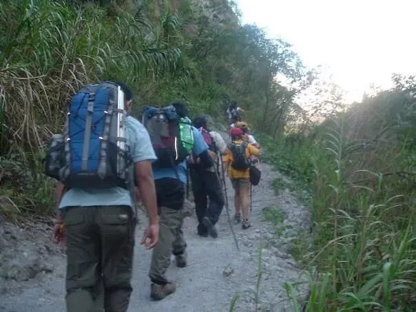
Climbers come for the famous sea of clouds at dawn, the mossy montane forest, and the grassland summit with its dwarf bamboo. There are four main trails, and the Ambangeg trail from Benguet is the gentlest, the one I took on my first major climb.

I was not lucky with the clouds that day, and the cold nearly beat me, dropping to about minus two degrees. Even so, standing near the roof of Luzon is something you do not forget.

Mga Larawan

Biliran Eastern Visayas

The causeway to Biliran was opened in 1999. Before that, the island was accessible only by boat — a short crossing from the Leyte mainland, maybe twenty minutes in good weather. The causeway changed Biliran. It made the trip routine. People could drive across to the Leyte market in the morning and return for lunch. The island became part of the mainland in a practical sense.

What the causeway also did was make Biliran visible. Before it, the island was one of those places that existed in the knowledge of people who lived nearby but not on any map that outsiders used. After it, buses from Tacloban could run all the way to Naval without a ferry transfer. The tourists who came to Eastern Visayas looking for somewhere quieter than the main destinations found the causeway listed in their guides.

Typhoon Yolanda hit in November 2013. The causeway survived. The province did not survive intact — damage to roofs, to fishing boats, to coconut trees was widespread. The recovery took years, and in some communities it is still not complete. The Eastern Visayas was not back to normal quickly after Yolanda; the scale of the destruction across Leyte and Samar was too large for anything to recover quickly.

The waterfalls on Biliran kept falling through all of it. The Redeña Falls and the other cascades in the interior don't know about causeway openings or typhoon damage or tourism guides. They fall because the mountains catch the rain and the rain finds its way down. People have been swimming at the base of Redeña Falls for as long as there have been people on the island, and they will be swimming there long after the current generation is gone. The falls are the oldest thing in the province, and the most reliable.

Bohol Central Visayas
← All stories
Kasaysayan · Bohol

The 2013 Bohol Earthquake

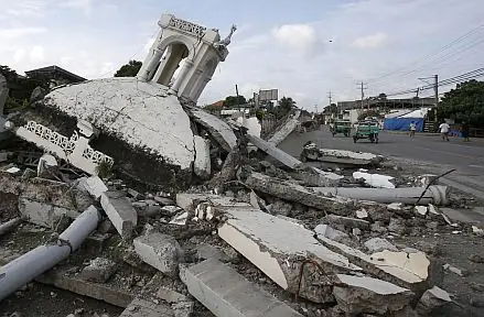
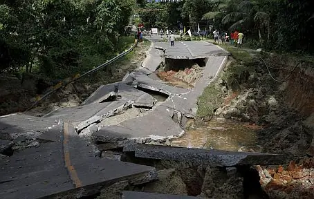
On the morning of 15 October 2013, a magnitude 7.2 earthquake struck Bohol, the strongest to hit the island in a generation. It was centered in central Bohol, near Sagbayan and Carmen.

The quake set off landslides, toppled buildings, and brought down centuries-old churches, among them Loboc, Baclayon, Loon, and Maribojoc. It killed 222 people and displaced hundreds of thousands.

Yet the story of Bohol since has been one of resilience. Communities, government, and volunteers rebuilt homes and, stone by stone, restored the fallen churches, saving the island's heritage. The scars remain, but so does the strength. The Boholanos rose, closer and steadier than before.

Mga Larawan

← All stories
Lugar · Carmen

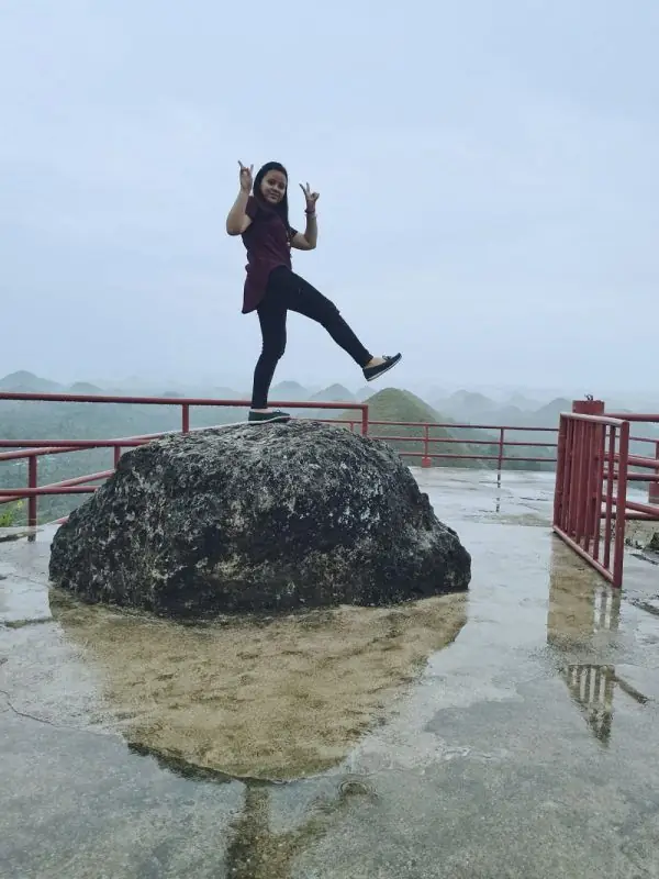
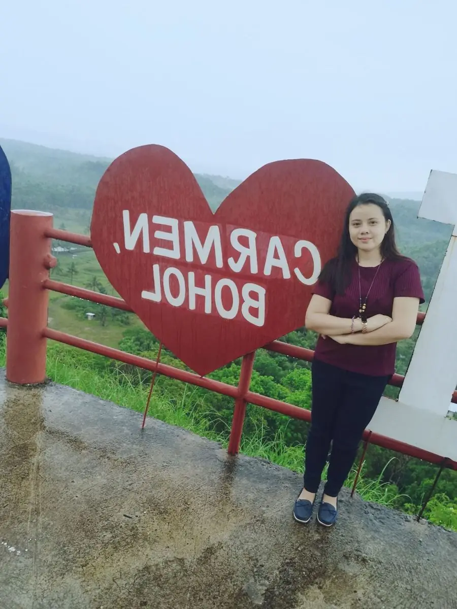
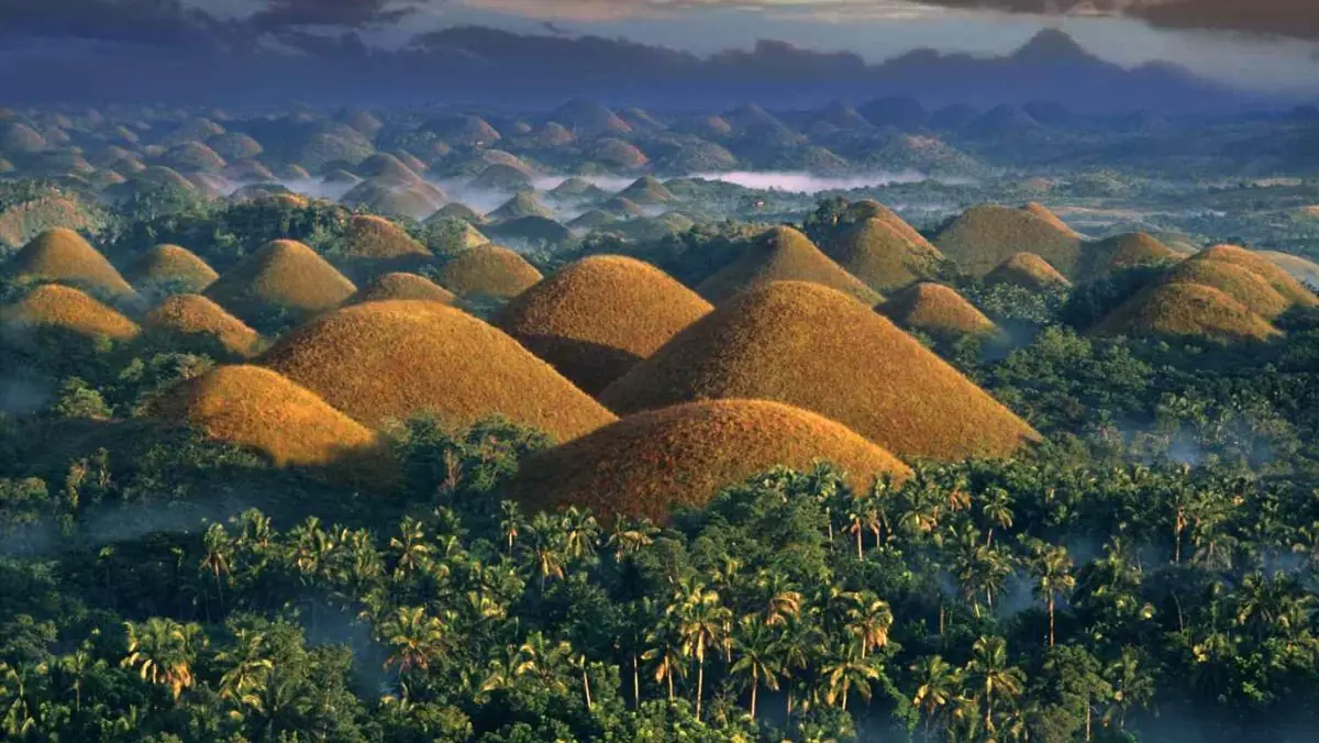
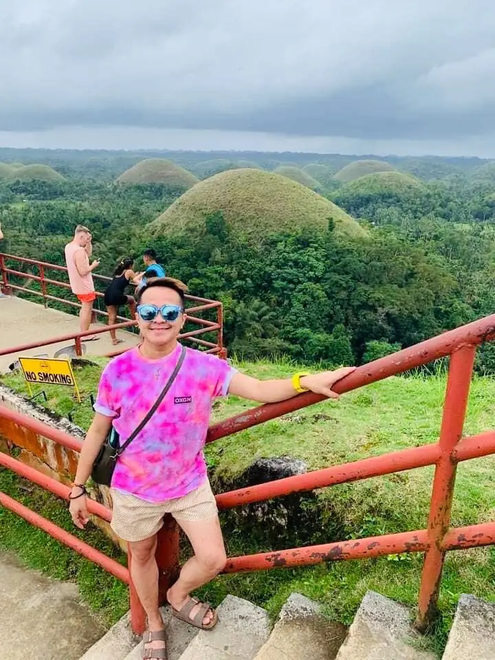
The Chocolate Hills

The Chocolate Hills are the wonder of Bohol, a field of more than a thousand near-identical mounds spread across the center of the island. Estimates range from 1,268 to 1,776 hills, conical and dome-shaped, standing side by side.

They are not made of chocolate. In the dry season, from around January to May, the grass that covers them turns a rich chocolate-brown, and that is how they earned the name. In the rains they turn green again.

To see them for the first time is to understand the wow. It is a landscape found nowhere else.

Mga Larawan

← All stories
Lugar · Panglao

Virgin Island

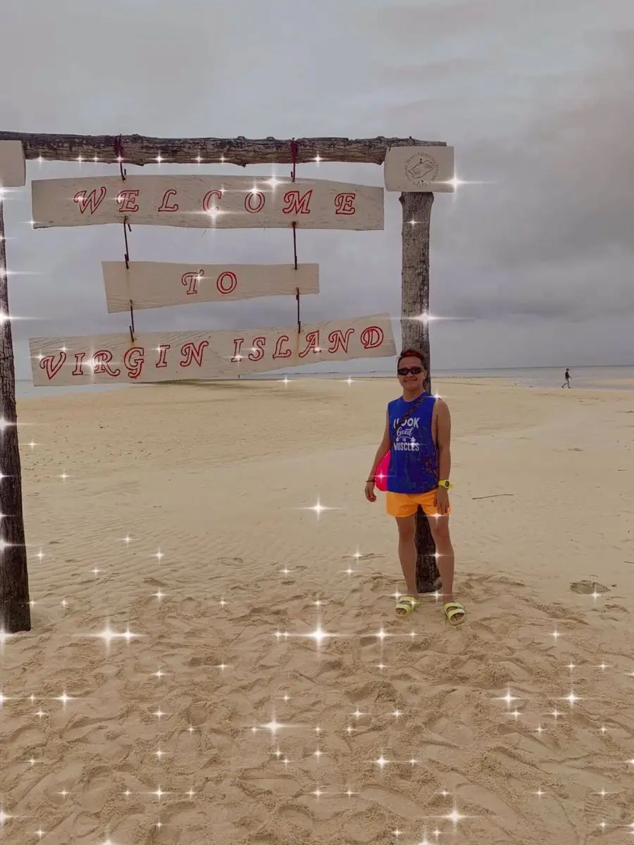
Off the coast of Panglao in Bohol lies Virgin Island, one of the most photographed spots in the province. It is a long white sandbar that rises from the sea at low tide.

The water is crystal clear, the sand bright, and small stalls sell fresh seafood right on the bar. It is easy to see why locals and visitors alike love it.

Bohol keeps its charm through the seasons. The Chocolate Hills glow brown in the dry months and green in the wet, and out here on the water, the island shines white against the blue.

Mga Larawan

← All stories
Lugar · Bohol

The Tiny Tarsiers

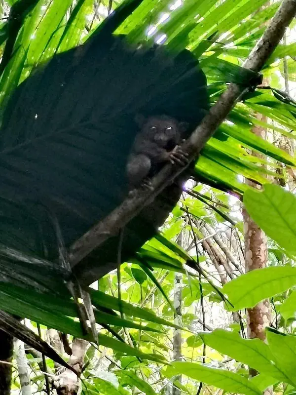
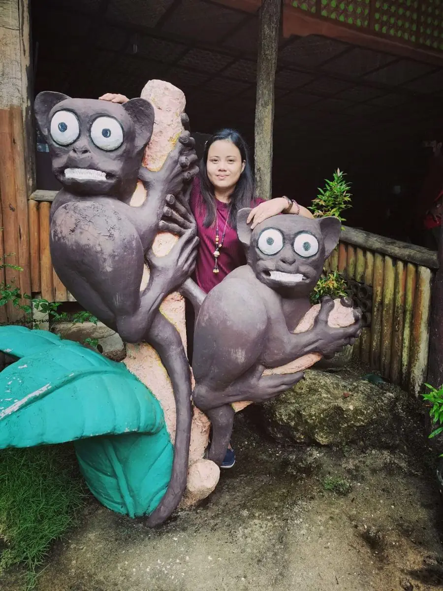
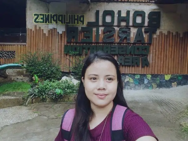
I could not wait to meet the tarsiers of Bohol. I imagined something bigger. Instead I found them tiny, each about the size of my thumb, clinging quietly to the branches.

The Philippine tarsier is one of the smallest primates in the world, and one of the most curious. Its eyes are each larger than its brain. It can turn its head almost all the way around, about 180 degrees each way, and leap several meters between branches. It hunts insects, and lives around eight years.

We saw four of them, small and still in the sanctuary trees. Seeing even one was worth the trip.

Mga Larawan

← All stories
Lugar · Panglao

Alona Beach, Panglao

Alona Beach is a small tropical paradise on Panglao Island, at the southwestern tip of Bohol. The moment I saw it, it caught me.

The sand is white and powdery, the water clean, and pretty cottages line a garden by the shore. I was there for a site survey and could only steal a quick photo, but I could picture myself walking the beach with the sea breeze for company.

The people here are proud of their beach, and they should be. Even in the midday heat they welcomed me with a smile.

← All stories
Lugar · Alburquerque

Prony the Python

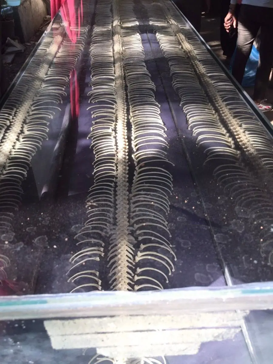
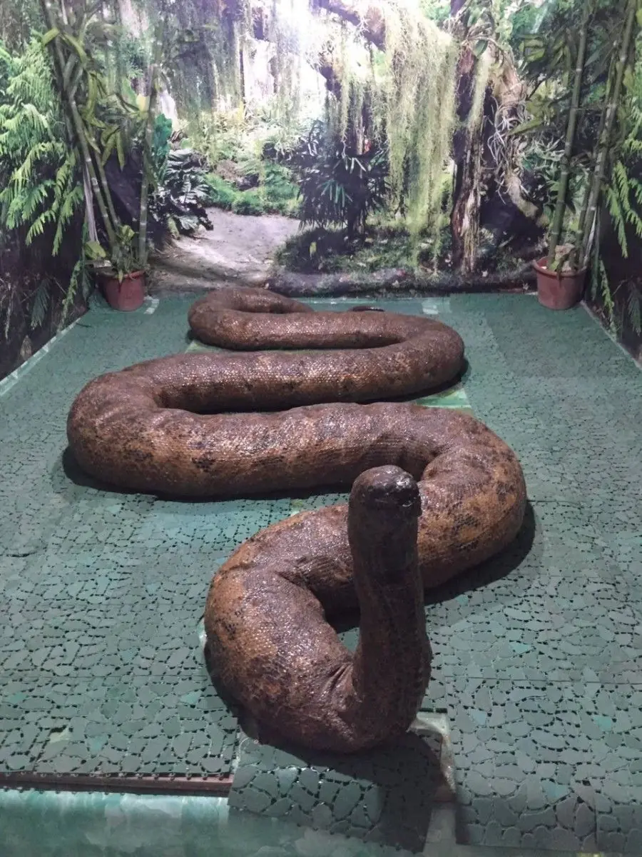
In the town of Alburquerque in Bohol lived Prony, one of the largest pythons ever kept in captivity in the Philippines. She was a reticulated python, measured at around twenty-three feet and weighing some three hundred kilograms.

Prony was caught in 1996 and became a local legend. When she died, her bones were preserved and put on display, so her story could go on being told.

I am afraid of snakes, so I read her story from a safe distance. It is a strange and gentle tale, and the people who tell it clearly hold Prony dear. As they say, Prony is timeless, forever in their hearts.

Mga Larawan

← All stories
Lugar · Bohol

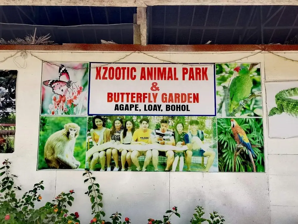
Zoomazing Animal Park

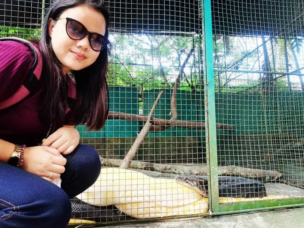
A scary but fun afternoon among the cages of the Zoomazing animal park in Bohol, meeting lizards, monkeys, butterflies, birds, an ostrich, and snakes.

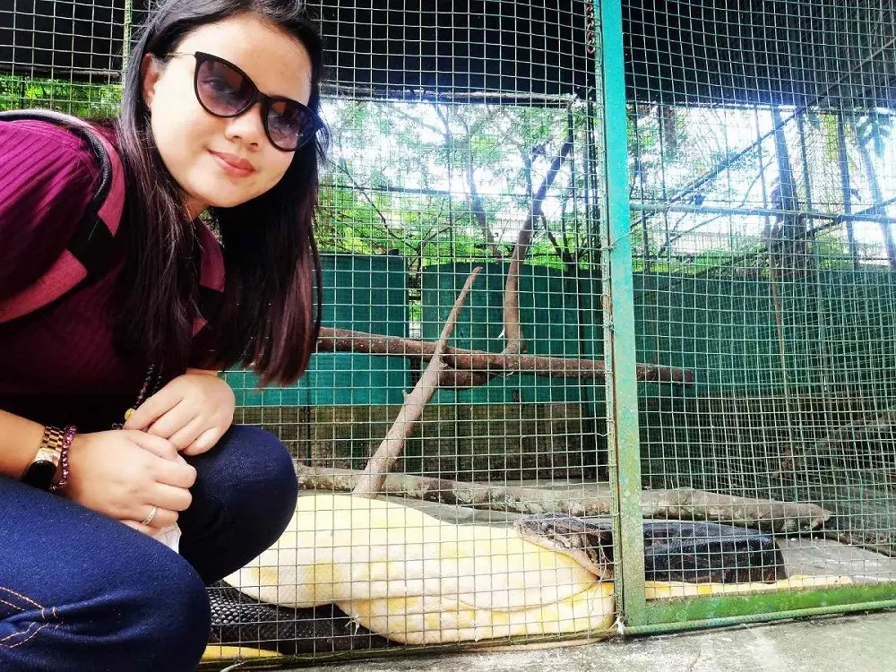
It was my first time to see a huge albino python up close. I was nervous when the keeper draped it over her shoulder, but she promised it was gentle, so I reached out and touched it. It swayed its tail as if glad to meet us.

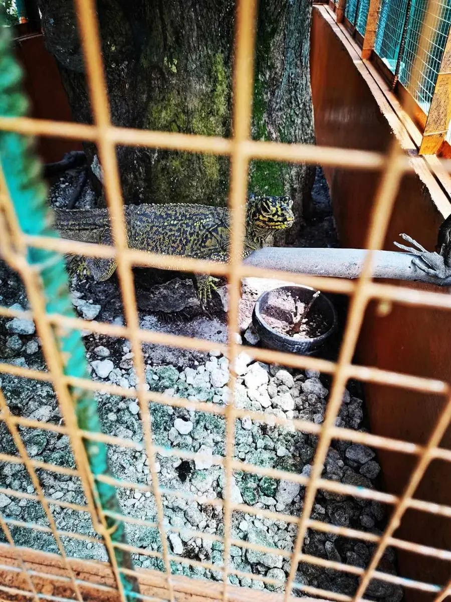
There was a talkative parrot too, who danced as we sang and took sunflower seeds from our hands, and a shy lizard who kept turning away from the camera. An amazing, slightly nerve-wracking day.

Mga Larawan

Bukidnon Northern Mindanao
← All stories
Kasaysayan · Malaybalay

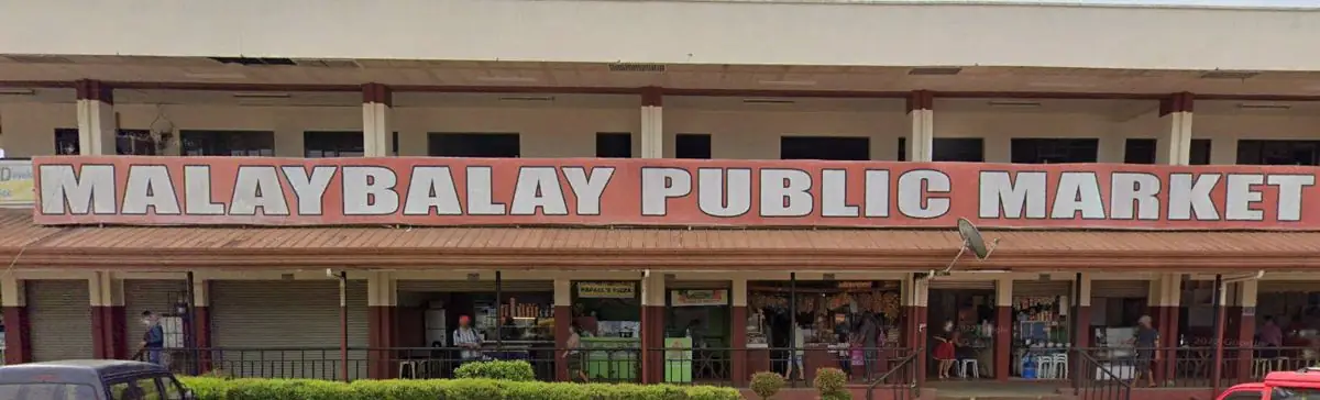
Malaybalay, Heart of Bukidnon

Malaybalay, the capital of Bukidnon, sits in the heart of Mindanao, a meeting place of many peoples. Long before the Spanish came, it was home to indigenous groups, among them the Talaandig, Higaonon, Manobo, and Matigsalug, part of the seven tribes the province honors today.

The Spanish named the settlement Malabalay, said to mean the floodplain of the great river, later softened to Malaybalay. It became a municipality in 1907 and a city on 11 February 1998. During the Second World War it served as a headquarters of the Commonwealth Army and a stronghold of the resistance.

Above the city, on a hill, stands the Monastery of the Transfiguration, a Benedictine community whose pyramid church was designed by the National Artist Leandro Locsin. And each year the city fills for the Kaamulan Festival, a gathering that showcases the music, dance, and rituals of Bukidnon's tribes.

Mga Larawan

Bulacan Central Luzon

The Constitution and the Church

On January 21, 1899, inside a church in Malolos that had been converted into a congressional hall, delegates voted to ratify the first democratic constitution written in Asia. The Malolos Constitution was far from perfect — it restricted the franchise, gave significant power to a unicameral assembly, and was written in a hurry by men who had been fighting a war eight months earlier. But it was a constitution, drafted by Filipinos, for Filipinos, in a country that had never before governed itself.

Ten weeks later, American soldiers marched into Malolos and burned parts of it down. The delegates had already fled. The First Philippine Republic had lasted less than a year as a functioning government, though its president kept fighting for three more years. The church was repaired. The constitution was filed away in archives. The republic became a historical fact rather than a political one.

What Bulacan retained was the memory, and the memory turned into a particular civic pride — the kind that comes from knowing your ground meant something. The historians came later and the national shrines were built later, but the families of Malolos had been telling the story themselves for generations. The church still stands on the same plaza. On quiet weekdays, when the school groups are gone, you can sit in a pew where a delegate once voted, and the place holds more than most monuments manage.

Cagayan Cagayan Valley
← All stories
Kasaysayan · Tuguegarao City

St. Peter Metropolitan Cathedral

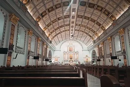
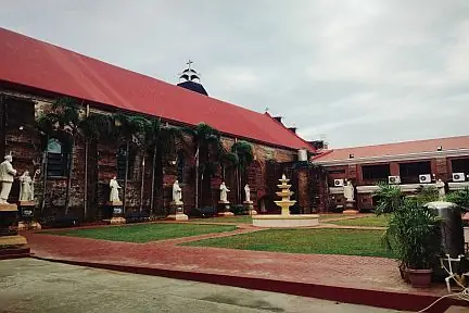
In the heart of Tuguegarao City, on Rizal Street, stands the St. Peter Metropolitan Cathedral, also called the Tuguegarao Cathedral. It is one of the largest churches in the Cagayan Valley and the seat of the Archdiocese of Tuguegarao.

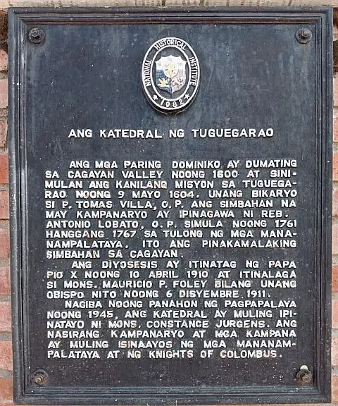
The Dominican friars reached the Cagayan Valley in 1600 and began their mission in Tuguegarao in 1604. The cathedral and its bell tower were built between 1761 and 1767 under Fr. Antonio Lobato, with the help of the local faithful. It remains the largest church in Cagayan.

The diocese was created by Pope Pius X in 1910, and the first bishop, Msgr. Mauricio Foley, was appointed in 1911.

The facade is Baroque, built of brick, with ornate carvings, grand arches, and tall bell towers. Inside, high vaulted ceilings, a grand altar, and stained-glass windows give the space a quiet, reverent air.

The cathedral was badly damaged during the liberation of 1945. It was rebuilt under Msgr. Constance Jurgens, and the bell tower and bells were restored by the faithful and the Knights of Columbus.

Every 29 June the city honors St. Peter, the cathedral patron, with processions and celebration. For any visitor to Tuguegarao, the cathedral is worth the stop.

Mga Larawan

← All stories
Lugar · Cagayan Valley

Tour de Norte

Tour de Norte is the name my Regional Manager, Allain Mendoza, gave to the route we take on our site visits across the Ilocos Region and the Cagayan Valley.

The route starts at the Lemcon satellite office in San Vicente, Urdaneta City, Pangasinan. From there we head to my home province, La Union, the gateway to Baguio and the Ilocos provinces, known for the grape farms of Caba and the beaches of Bauang and San Juan.

Next comes Ilocos Sur and the city of Vigan, famous for its preserved Spanish-colonial streets. Calle Crisologo is its heart, where you can ride a kalesa, a horse-drawn carriage, through the old town.

Two hours on lies Ilocos Norte, with the sand dunes of Paoay, the Cape Bojeador lighthouse in Burgos, the beaches of Pagudpud, the windmills of Bangui, and my favorite road of all, the Patapat Viaduct.

Between Adams in Ilocos Norte and Tuguegarao in Cagayan there is little but the Claveria View Deck. The road is long and winding, with only mountains, forests, rice fields, and quiet communities. It is the kind of road that makes you reflect on your own journey, and I did.

When you reach Tuguegarao, do not leave without eating at a panciteria like Wayne's in Iguig or the eatery at Solana Crossing. And when you are done touring Cagayan, stop in Nueva Vizcaya for its award-winning buko pie and crisp chicharon.

The Tour de Norte we took, on 20 to 22 May, was a short journey on a very long road, and I enjoyed every moment of it. North Luzon is my favorite place in the Philippines.

Mga Larawan

← All stories
Kasaysayan · Solana

Solana on the Cagayan River

Solana sits along the Cagayan River and carries a long history from the Spanish period.

The town was established on 18 August 1851, formed out of Tuguegarao and named after the Spanish governor-general Antonio de Urbiztondo, Marques de la Solana. Its parish followed in the 1850s.

Its place on the river made it a center of farming and trade. Rice, corn, and tobacco were the main crops, and the river carried goods to and from the town.

The town church is the St. Vincent Ferrer Parish Church, named for its patron, St. Vincent Ferrer. Today the people of Solana work to preserve their old buildings and their heritage for the generations that follow.

← All stories
Pagkain · Tuguegarao City

Pancit Batil Patong

A visit to Cagayan is never complete without Tuguegarao's pancit batil patong. Before I head home to Gattaran, I always stop in Tuguegarao for it. As people here say, you are not truly home until you have eaten batil patong. I agree.

The dish is built on the town's own fresh noodles, topped with minced carabao meat and a poached egg, and served with a bowl of soup on the side. Batil means to beat, for the egg beaten into the soup. Patong means to place on top, for the egg and toppings that crown the noodles. Panciterias sit on almost every corner of Tuguegarao.

On my last visit I tried a new panciteria in Winnawwa and added chicharon bulaklak on top. It was better than I expected, with homemade noodles, meat, and egg, and the soup kept apart. You mix your own sauce from sliced onion, vinegar, soy sauce, and plenty of calamansi, best with a cold drink.

This is my obligatory food photo whenever I am home.

← All stories
Lugar · Penablanca

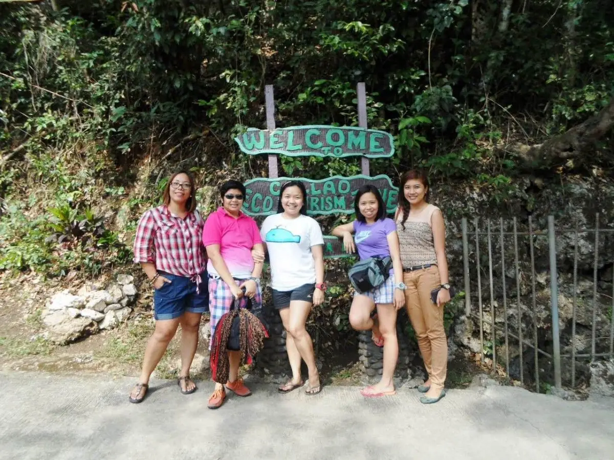
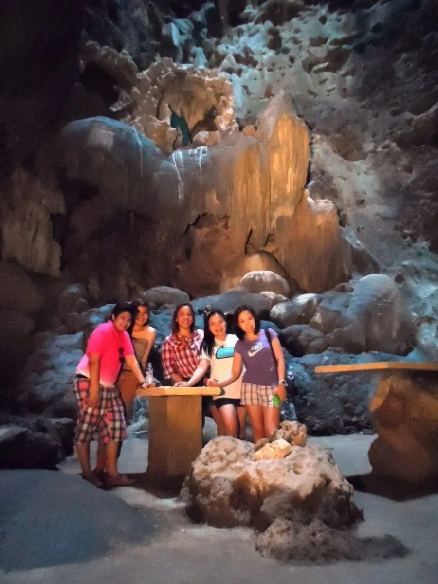
Callao Cave

This is a church. This is a cave. It is a church in a cave.

Callao Cave is a limestone cave in the town of Penablanca, Cagayan. It takes 184 steps to reach the main archway. Inside are seven chambers, and a chapel fills the first one, lit by a natural opening in the rock above. Masses are still held there.

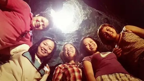
As you go deeper, you pass chambers of stalactites and stalagmites, several with skylights where sunlight falls through the roof and lights the stone.

There is deep history here. In 2019, scientists announced a new human species from these grounds, Homo luzonensis, from fossils at least 50,000 to 67,000 years old. People have lived in this valley for a very long time.

Callao is worth the climb, for the cool air, the light through the rock, and the quiet of the chapel inside the earth.

Mga Larawan

Camarines Norte Bicol Region

The Long Beach

The boat takes two to three hours from the mainland, depending on sea conditions, and for most of that time there is nothing to see but open water and sky. Then Tinaga Island appears, low and green, and as the boat swings around to the eastern shore the beach comes into view — two and a half kilometers of white sand with almost nobody on it.

Mahabang Buhangin means Long Beach, which is the most literal possible name for what it is. The first time most Filipinos hear about Calaguas, they ask why they haven't been. The answer is the same as for every genuinely unspoiled place: it takes a bus journey, a jeepney ride, and a long boat trip to reach, and there is no resort at the end of it, and you have to bring your own food and water. Every year more people decide the effort is worth it, and every year the question of how long the beach stays unspoiled becomes more pressing.

The local government of Capalonga has been navigating this slowly. Permits are required. Numbers are nominally controlled. The fishing communities on the island have mixed feelings — they benefit from the tourism income and worry about what the tourism will do to the place they live. It is the same conversation happening on beaches all over the Philippines, in slightly different forms, with the same unresolved ending.

Camarines Sur Bicol Region
← All stories
Lugar · Naga City

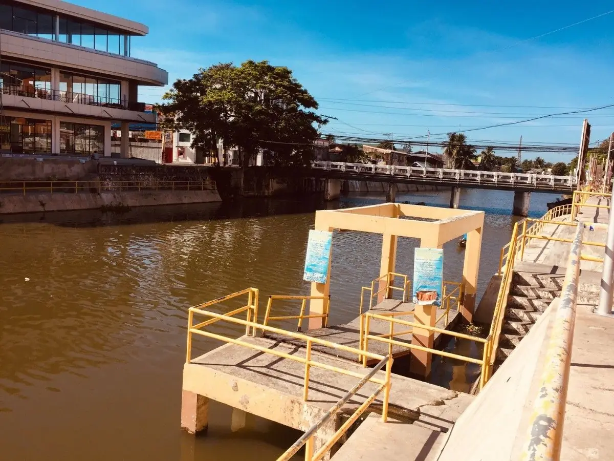
The Naga River

The Naga River, part of the wider Bicol River, runs through Naga City in Camarines Sur. Bikolanos call it Aldaw kan Salog nin Buhay, the Day of the River of Life.

Every September the river carries the Penafrancia Festival, when the image of Our Lady of Penafrancia is brought home by a grand fluvial procession, one of the largest Marian devotions in the country.

I studied in this city for four years, and only once did I stop to really see the river, quiet and clean in the early light. I sat a while on the bank, let the morning sun warm me, and felt my worries lift. Thank you, Naga River, for listening.

Mga Larawan

← All stories
Kasaysayan · Naga City

Oragon: The Founding of Naga

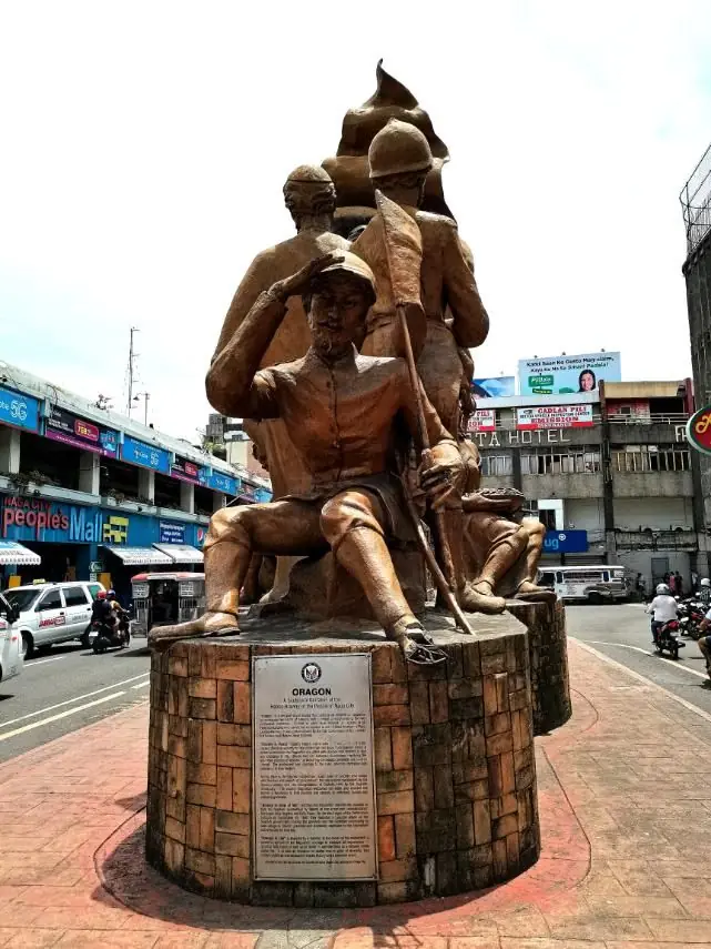
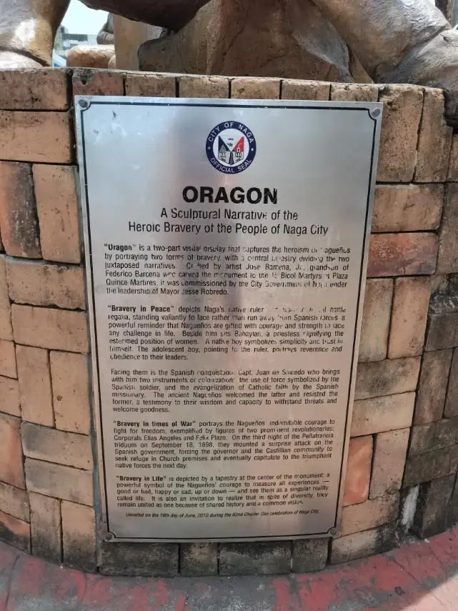
Oragon is a Bikol word for brave, tough, and never giving up. It is how Bikolanos describe themselves, and it runs through the history of Naga.

Juan de Salcedo reached the native settlement of Naga in 1573. Two years later, in 1575, the Spanish founded a city here, La Ciudad de Caceres, later Nueva Caceres, named for the hometown of the governor-general. The name Naga itself comes from the narra tree, once abundant along the river.

A monument in the city remembers the courage of the Naguenos, honored each Independence Day, a reminder of a people who stood their ground.

Mga Larawan

← All stories
Kasaysayan · Naga City

The Fifteen Martyrs of Bicol

In downtown Naga stands the Plaza Quince Martires, honoring the Fifteen Martyrs of Bicol, arrested from 1896 for their links to the revolution against Spain.

Not all of them were executed. Eleven were shot at Bagumbayan, now Luneta, in Manila on 4 January 1897. One died aboard a prison ship, and three died in exile. Together they are remembered as fifteen, and the monument was raised in 1926.

As a schoolchild in Naga I visited this plaza on field trips, and our teacher had us learn the martyrs' names. Some of them I remember still.

Mga Larawan

← All stories
Lugar · Iriga City

Mount Asog, the Mountain of the Rising Sun

About forty minutes from Iriga City rises Mount Asog, also called Mount Iriga, a long-dormant volcano and, after Mayon, one of Bicol's most striking peaks.

Its name comes from Asog, an ancient Agta datu said to have ruled the region. It is also called Mount Sumagang, the Mountain of the Rising Sun. In 1641, a great collapse on its slopes is said to have dammed a valley and formed the nearby Lake Buhi.

From its heights the view opens wide, to Mount Mayon, Mount Malinao, and Mount Masaraga to the south, and on a clear day, distant Catanduanes to the southeast.

Mga Larawan

← All stories
Lugar · Libmanan

The Coconut Coast of Libmanan

Coconut trees, everywhere you look. That is how you know you are in the Bikol countryside. I came to Libmanan, in Camarines Sur, over mountain after mountain, with the green never leaving the view.

This is a remote place, with almost no phone signal, and that is its gift. You wake in the cool morning, make coffee, and sit with your feet up while the day begins.

A hundred meters down the hill is the shore, where the fishermen live. Snails, clams, and fresh seafood are there for the taking, so long as you have no allergies. Otherwise, there is always the coconut.

Mga Larawan

Camiguin Northern Mindanao
← All stories
Kasaysayan · Catarman

The Sunken Cemetery

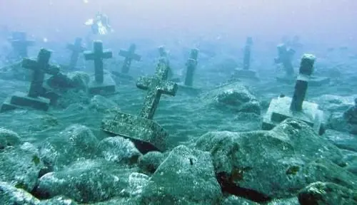
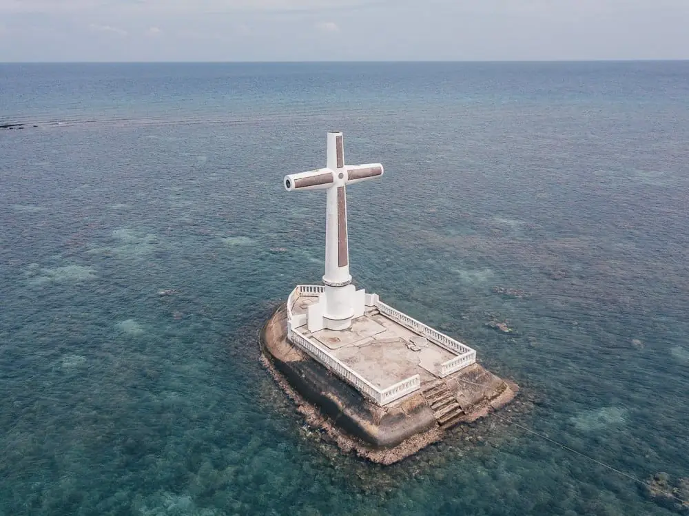
Off the coast of Camiguin, a large white cross rises from the sea. It marks the Sunken Cemetery, one of the island's most haunting landmarks, and the story behind it is written in fire and water.

Before the volcanoes made it famous, Camiguin was a quiet, prosperous place. The town of Catarman thrived around the Guiob Church, a stone church built in the early 1800s. Then, in May 1871, Mount Vulcan erupted. Over the years that followed, lava buried the town, and the land along the coast, including the old cemetery, slowly sank beneath the sea.

Today the Guiob Church ruins still stand, their thick walls blackened but unbowed, and out on the water the cross keeps watch over the graves below. Snorkelers can swim above coral-covered tombstones. It is a place where history and nature meet, a memorial to a community that endured, and it is now a National Cultural Treasure.

Mga Larawan

Capiz Western Visayas

What Comes Through the Shell

The windowpane shell is nearly transparent — flat, irregular, roughly palm-sized. Held up to light, it glows amber and gold, with the faint texture of the living creature it was. Spanish colonial builders discovered early on that glass was expensive, fragile, and hard to ship from Europe, while capiz shells were abundant in the bays of Panay and Cebu. They had the same effect: they let in light while keeping out the wind.

In the 20th century, the capiz shell became a Filipino export — lampshades in Japanese department stores, wind chimes in American souvenir shops, decorative panels in European restaurants. The shell carried the name of the province to places that would never know where Roxas City was. When Filipino migrants in Hong Kong or Riyadh or Los Angeles saw capiz shells in a store window, some of them felt a particular kind of recognition that is not quite nostalgia and not quite pride but something related to both.

The shell workshops in Roxas City still operate, employing women who learned the craft from their mothers. The shells are sorted, cut, polished, and assembled into products that will be shipped overseas. Outside the workshop windows, the bay is still full of Placuna placenta, filtering the light the same way it always has.

Catanduanes Bicol Region
← All stories
Lugar · Catanduanes

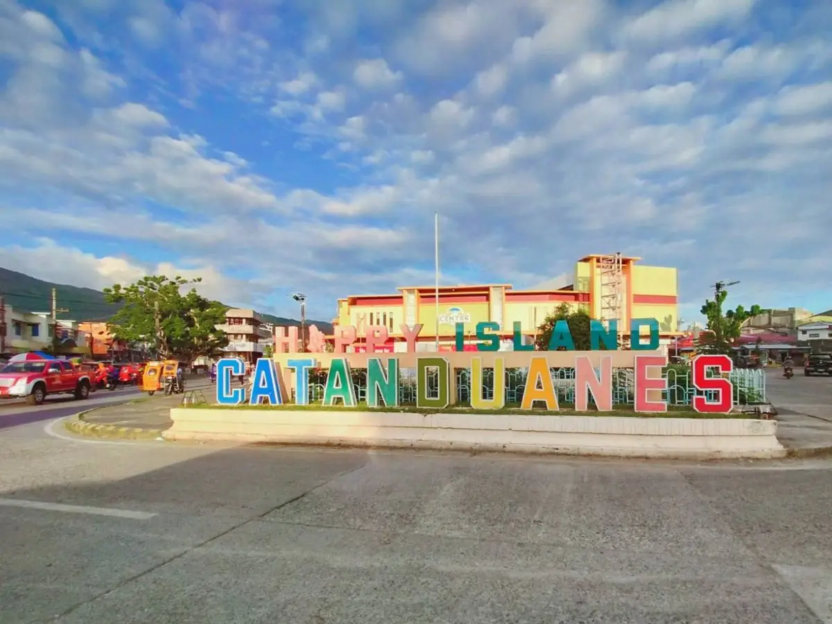
The Happy Island

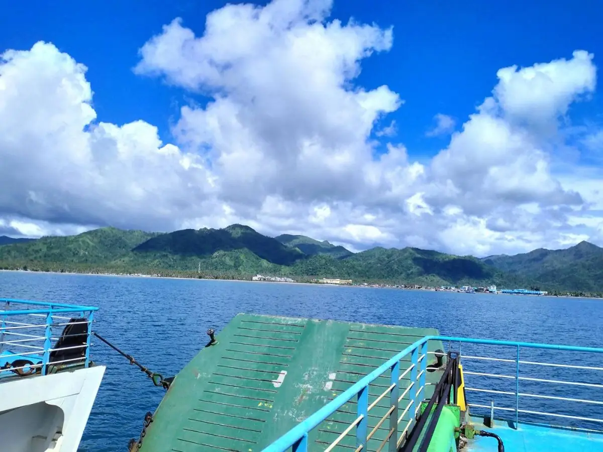
Catanduanes is an island province at the far eastern edge of Luzon, out where the land first meets the Pacific. That position gave it an old name, the Land of the Howling Winds, because it is often the first ground struck by the typhoons that enter the country.

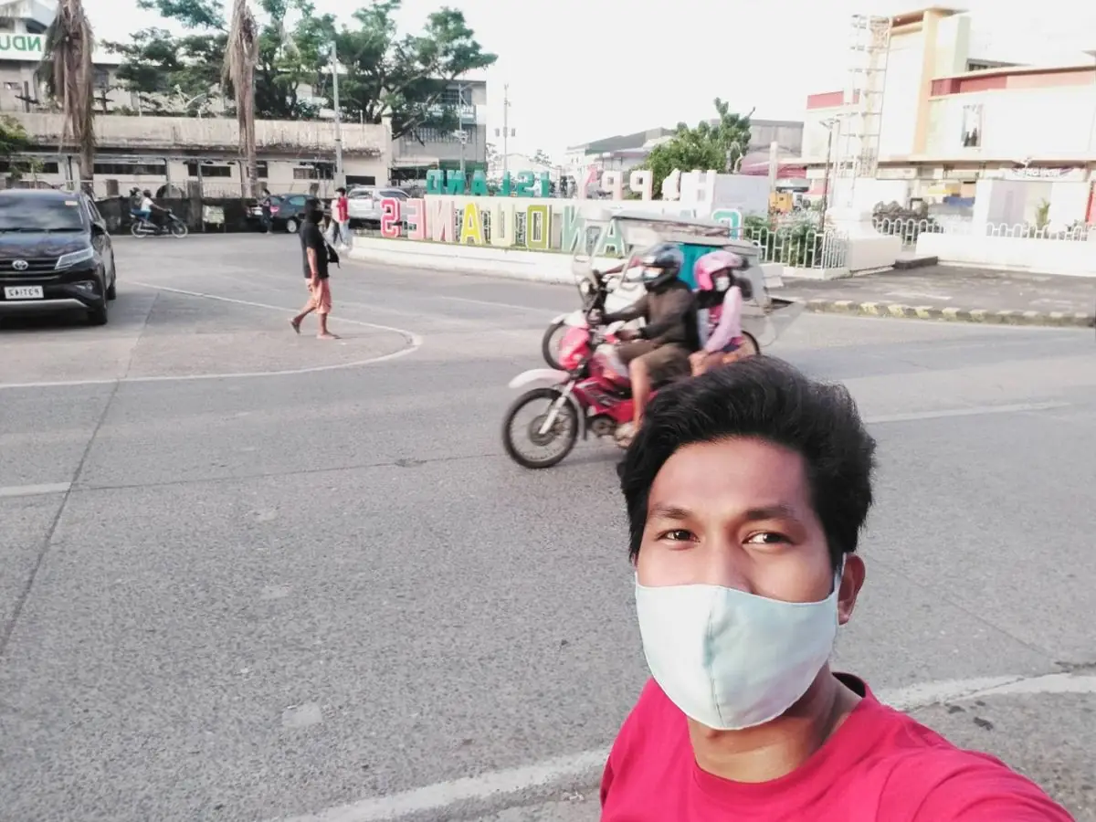
Today it goes by a warmer name, the Happy Island. Filipinos are a cheerful people by nature, and the Catandunganon welcome visitors with open arms, glad to share stories of their home.

It is called the Happy Island for good reason. Every place you visit here seems made to make you smile.

Mga Larawan

Cavite CALABARZON
← All stories
Kasaysayan · Kawit

Emilio Aguinaldo

Emilio Aguinaldo was born on 22 March 1869 in Kawit, Cavite, into a well-off landowning family. He became a leader of the Katipunan and of the revolution against Spain.

On 12 June 1898, at his home in Kawit, he proclaimed Philippine independence, and he went on to become the first President of the Philippines.

The fight was not over. Under the Treaty of Paris, the United States took control of the islands, and the Philippine-American War followed. Aguinaldo led the resistance, retreating into northern Luzon.

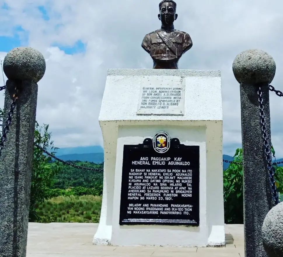
In 1901 he was captured at Palanan, Isabela, and swore allegiance to the United States. He lived a long life, later supporting independence again, and died on 6 February 1964, at ninety-four. His story is central, and much debated, in the making of the nation.

Mga Larawan

← All stories
Pagkain · Tagaytay

Kainan sa Kubo, Tagaytay

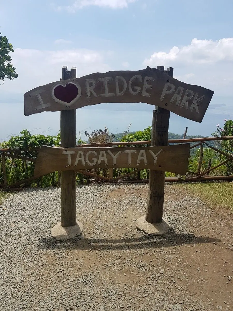
Tagaytay, in Cavite, is a favorite weekend escape from Manila, an hour or two away and blessed with cool air and a view of Taal Volcano.

On one visit I stopped at Ridge Park, the Kainan sa Kubo, an open-air restaurant that looks straight out over Taal Lake and its island volcano. The breeze off the lake is reason enough to come.

The food is a feast: beef bulalo, pinaputok na tilapia, beef tapa, and the now-rare tawilis, the little sardine found only in Taal Lake. Finish with hot Batangas coffee, and you will already be planning to return.

Mga Larawan

Cebu Central Visayas
← All stories
Kasaysayan · Lapu-Lapu City, Mactan

The Battle of Mactan

On the shore of Mactan, history feels close enough to touch. This is the exact place where the Battle of Mactan happened.

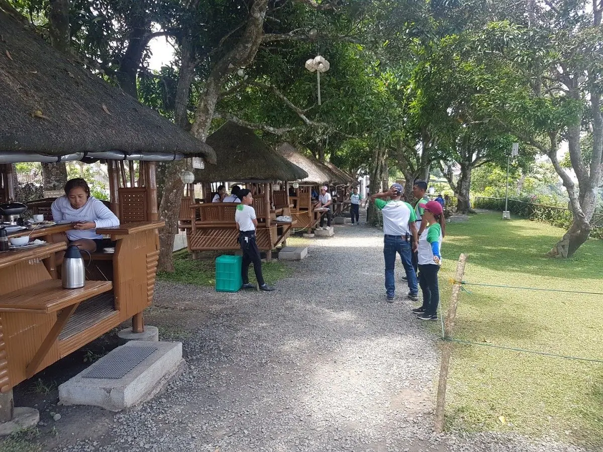
At first the Mactan Shrine feels like an ordinary park. There are trees, flowers, bamboo sheds, and wooden tribal statues. Then the memorial tower rises from the pavement, and the ground changes meaning. This is believed to be the spot where the great explorer fell.

Do not miss the huge mural of the Battle of Mactan. It shows the clash between the men of Lapu-Lapu and the men of Magellan at the water line. At the end of the park stands the giant monument of Datu Lapu-Lapu, facing the sea as if he still guards it. This beach is where the foreign troops came ashore.

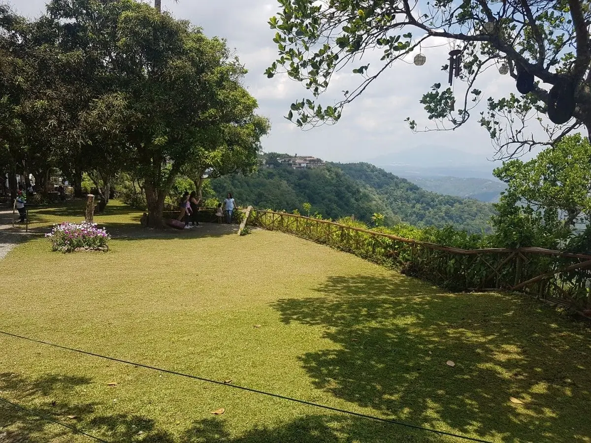
I stood at the water and looked out. Calm water, a little marsh, a wooden platform by the shore. Then the weight of the place hit me. This is where it happened. The mural came back into my mind, and my skin prickled.

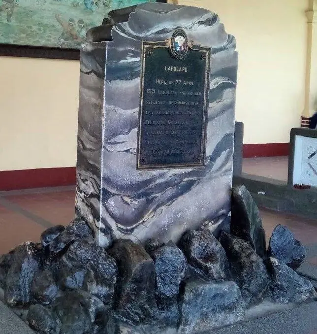
Here is what the record holds. On 27 April 1521, Datu Lapu-Lapu, the chief of Mactan, met the expedition of Ferdinand Magellan in the shallow water. Magellan was a Portuguese explorer sailing for Spain. He was killed, and his force was driven back. Filipinos remember this as the first recorded stand against foreign rule. The Mactan Shrine, also called the Liberty Shrine, stands today in Punta Engano, Lapu-Lapu City. It holds the bronze statue of Lapu-Lapu and a monument to Magellan.

This place is filled with courage and love of country. It is a reminder to never give up, even against a stronger force.

Mga Larawan

← All stories
Kasaysayan · Cebu City

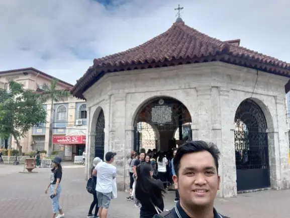
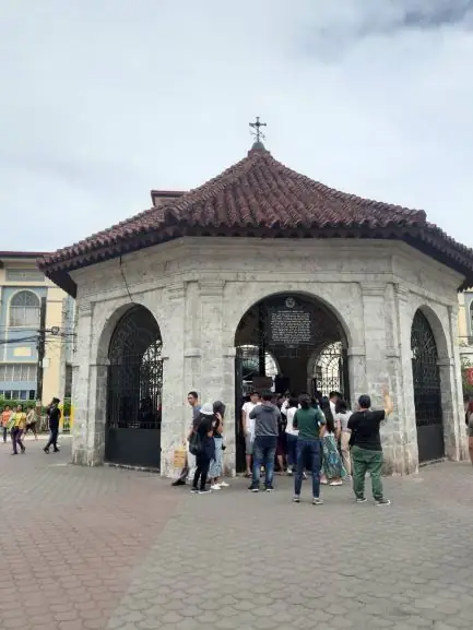
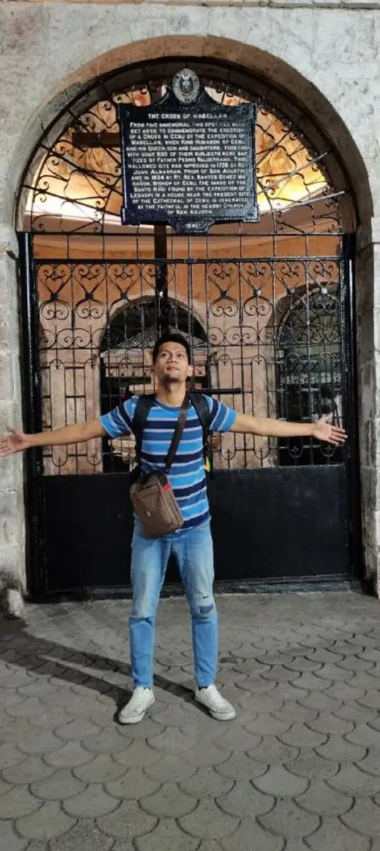
Magellan's Cross

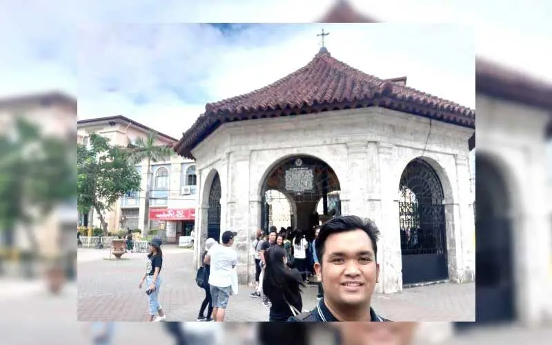
Magellan's Cross is still one of the most visited landmarks in Cebu. Cebuanos and travelers come to pay their respect, because it stands for the arrival of the Christian faith in the islands. To stand before it is a humbling experience.

The cross marks the year 1521, when the expedition of Ferdinand Magellan planted a wooden cross in Cebu. It is tied to the baptism of Rajah Humabon, his wife, and hundreds of their people. The site plaque gives the date as 21 April 1521, though historians place the first baptism a week earlier, on 14 April. Either way, this is where Christianity in the Philippines began.

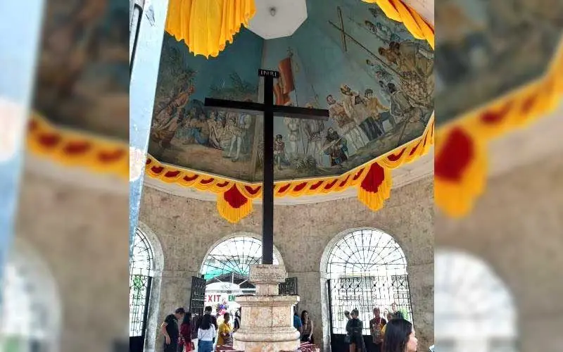
The cross you see today sits inside a stone kiosk beside the Basilica Minore del Santo Nino. It is a hollow tindalo-wood cross that protects the original. The outer cross was added in the 1830s, because devotees kept chipping away pieces of the wood, which they believed held miraculous power.

If you visit the old center of Cebu City, this small kiosk is the heart of it.

Mga Larawan

← All stories
Kasaysayan · Parian, Cebu City

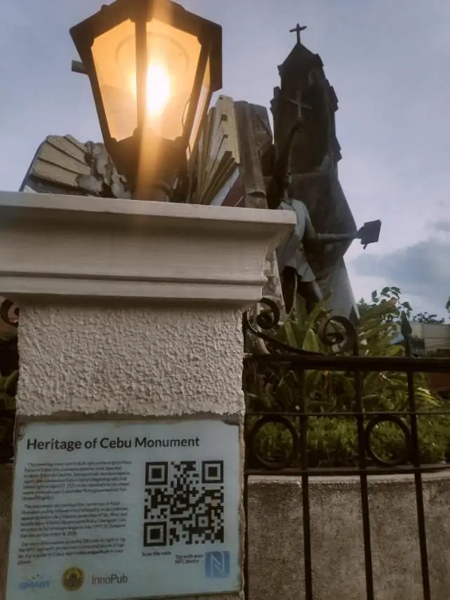
The Heritage of Cebu Monument

Cebu carries the title Queen City of the South. It is the heart of Central Visayas and the place where western civilization and Christianity first took root in the country. To honor that history, a great monument stands in the old Parian district.

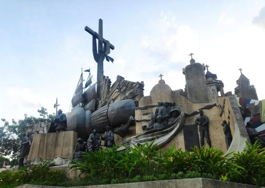
The Heritage of Cebu Monument was conceived by the multi-awarded sculptor Eduardo Castrillo. Work began in July 1997, and it was inaugurated on 8 December 2000, backed by the late Senator Marcelo Fernan and private donors.

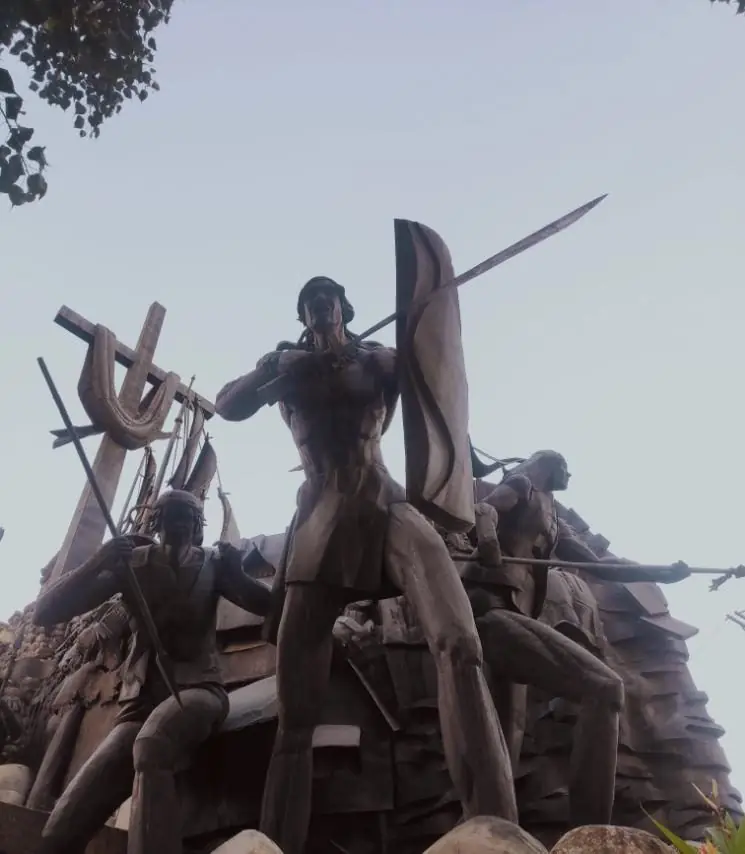
The tableau is built from concrete, bronze, brass, and steel. It shows the key moments of Cebu history: the arrival of Magellan, the Battle of Mactan, the baptism of Rajah Humabon and his people, a procession of the Santo Nino, and scenes of Spanish-era religious and civic life. Figures such as President Sergio Osmena and the old Parian church also appear.

Standing on the original Plaza Parian, the monument gathers centuries of Cebuano history into one place.

Mga Larawan

← All stories
Kasaysayan · Cebu City

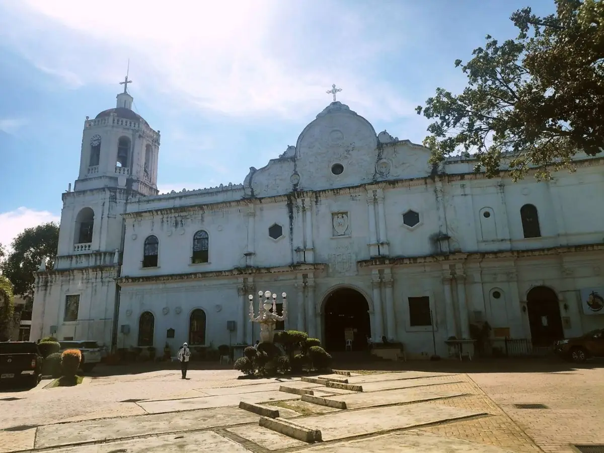
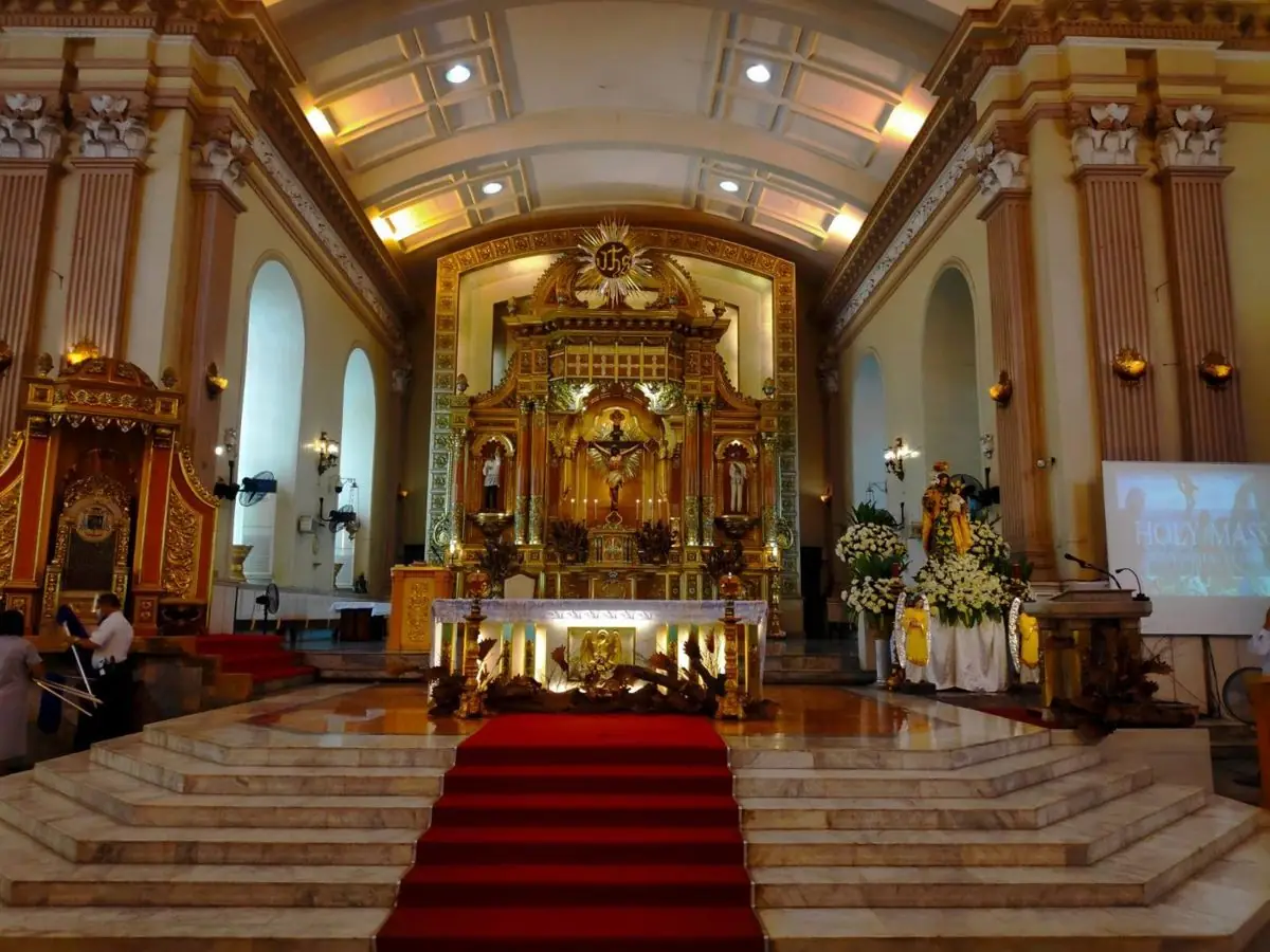
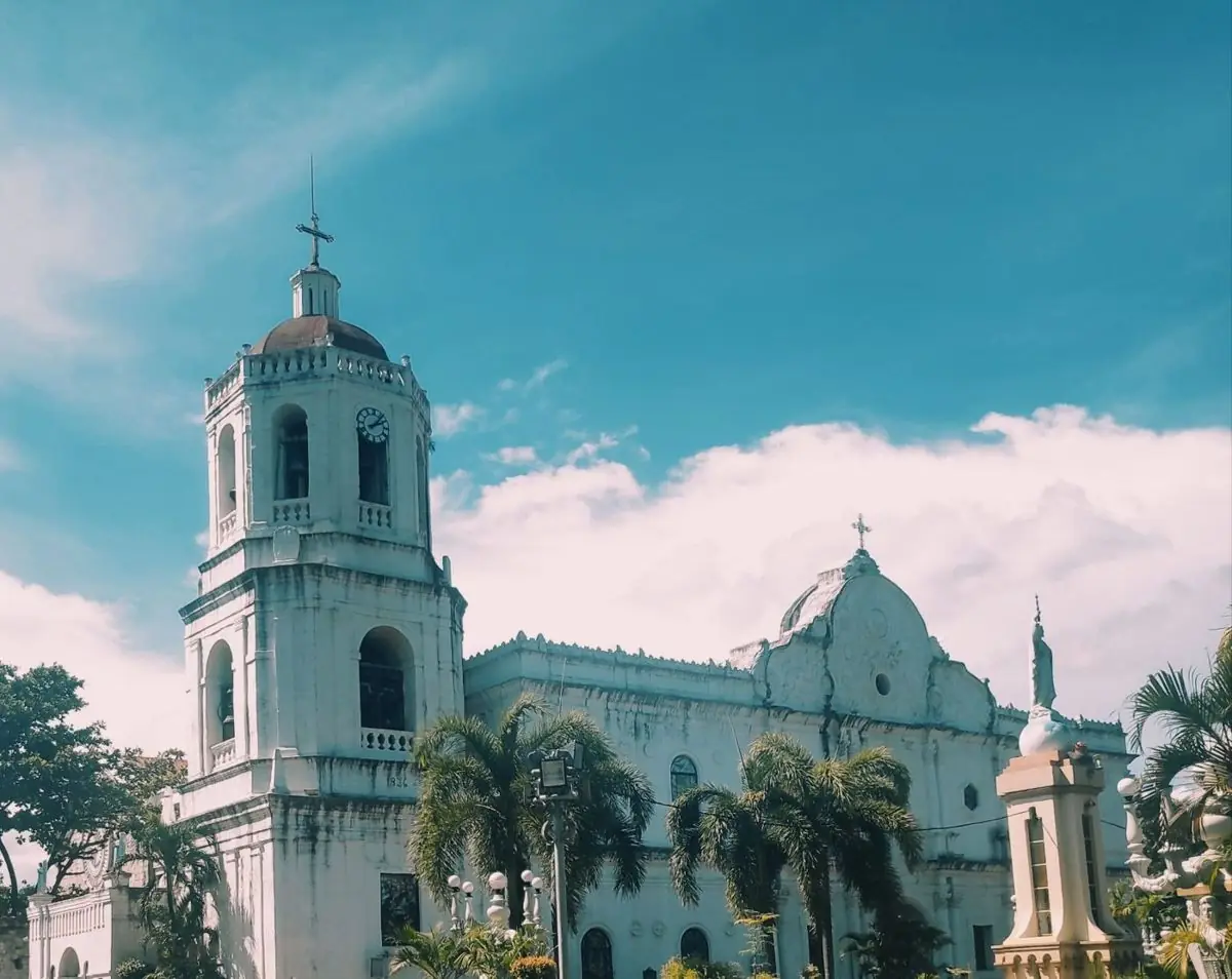
Cathedra: The Bishop's Throne of Cebu

A cathedra is the raised throne of a bishop. In the early Christian basilica it was the bishop's seat, the sign of his authority. The word gives us the term cathedral.

The cathedra of Cebu sits inside the Cebu Metropolitan Cathedral. This is the seat of the Metropolitan Archdiocese of Cebu, dedicated to Saint Vitalis and the Immaculate Conception.

A place of worship was first set up here in 1565, after Miguel Lopez de Legazpi arrived. One point needs to be clear. The year 1565 marks the founding of the parish, not the building you see today. The present stone cathedral was raised over the following centuries and completed only in the early 1900s, then rebuilt after damage in the Second World War. Cebu became a diocese in 1595 and a full archdiocese in 1934.

In 2021 the Philippines marked 500 Years of Christianity, counted from 1521. Cebu, where that story began, stood at the center of the celebration.

Mga Larawan

← All stories
Kasaysayan · Cebu City

Colon Street: The Oldest Street

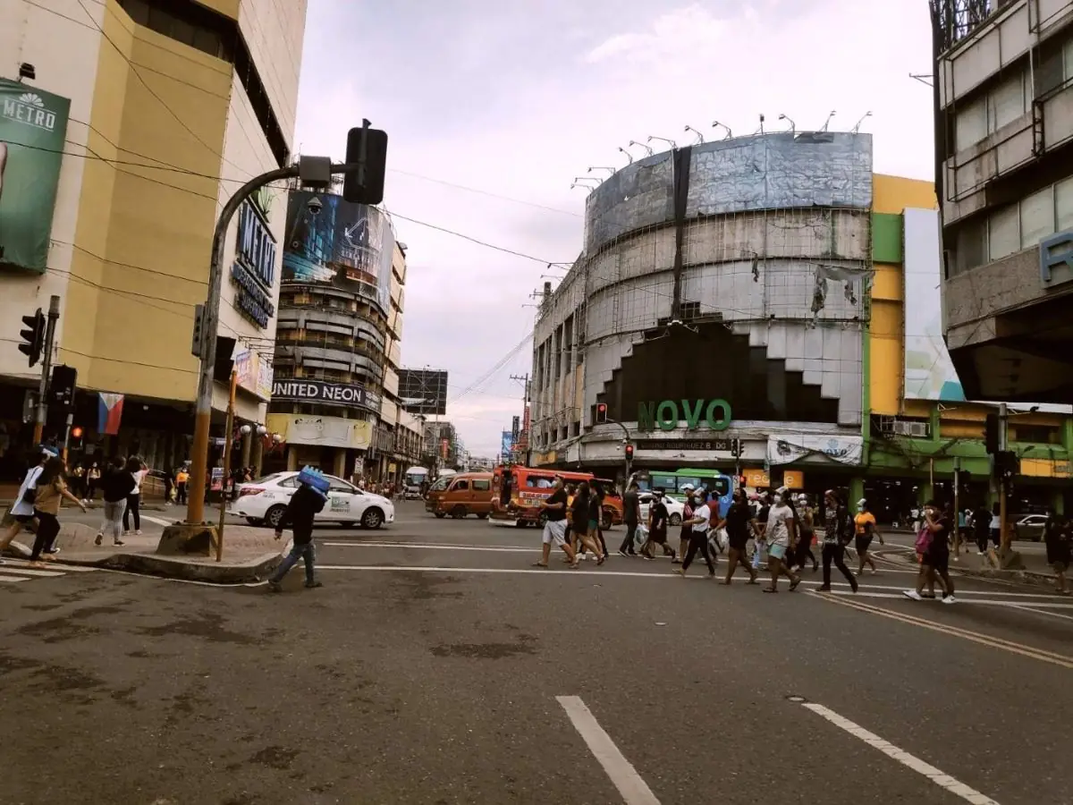
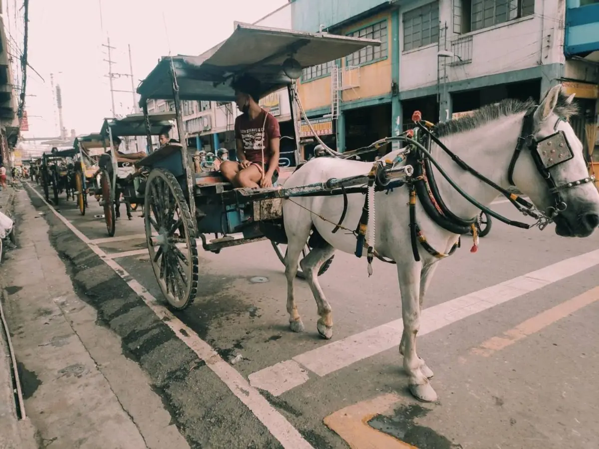
There is a proverb, all roads lead to Rome. In Cebu City people say, all jeepneys lead to Colon. No matter which jeepney you ride, it will bring you to Colon or somewhere near it.

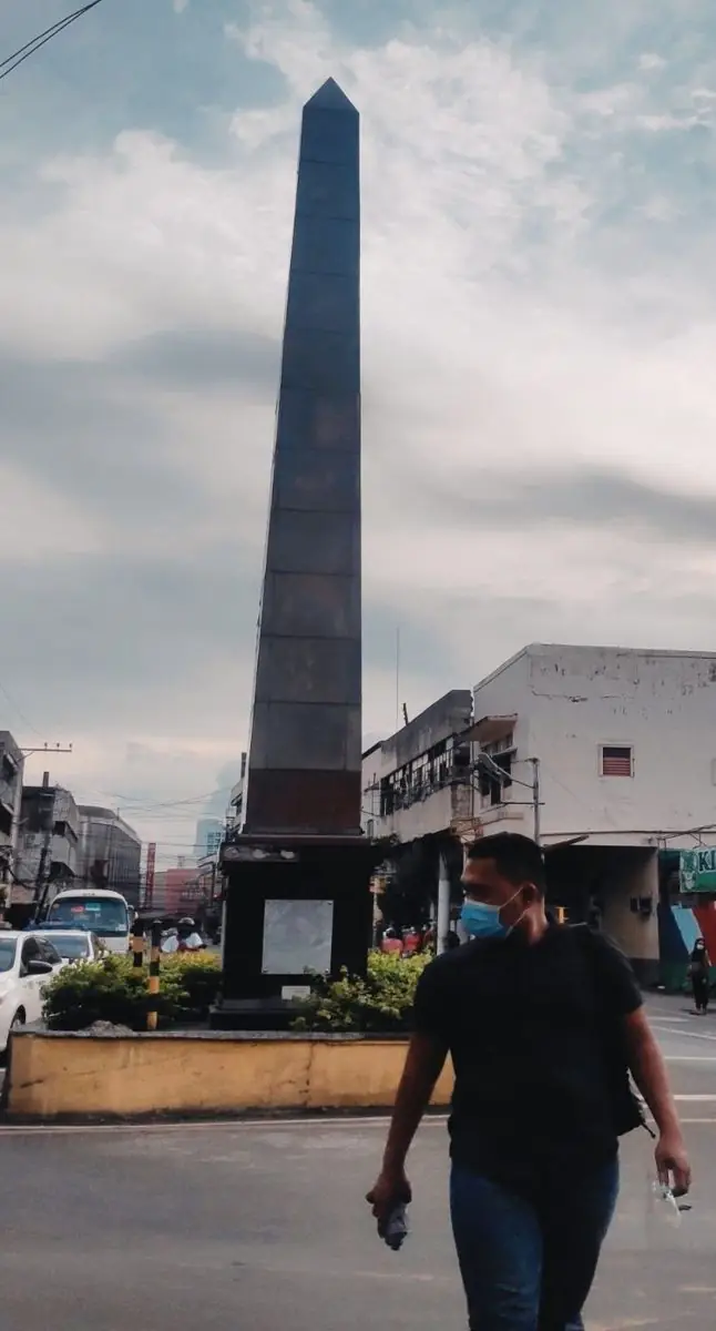
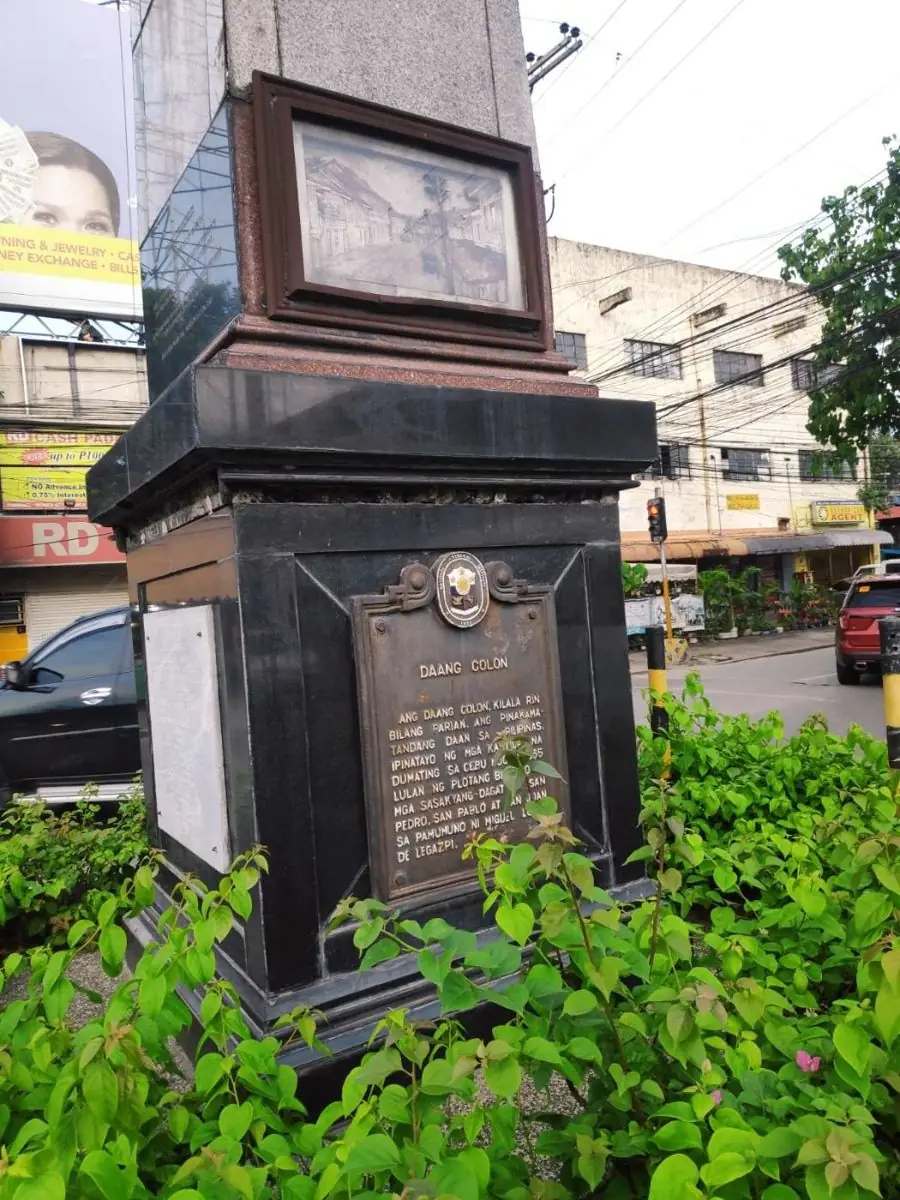
Colon Street is marked as the oldest street in the Philippines. By tradition it is credited to the Spaniards who came with Legazpi in 1565, and it was named after Cristobal Colon, the Spanish name for Christopher Columbus. One thing should be said plainly. The oldest street claim is disputed, and some historians question whether it truly predates other Spanish-era streets. Still, an obelisk at its northern end carries a marker from the National Historical Commission proclaiming it the oldest, in English, Filipino, and Cebuano.

The northern end of Colon meets Parian, once the district of wealthy Chinese-Filipino merchants. The street has seen better days, with crowding and petty crime, yet it remains a National Historical Landmark woven into centuries of Cebuano life.

A tip for visitors. Make Colon your landmark. If you ever feel lost in the old city, find your way back to Colon, because all jeepneys lead there.

Mga Larawan

← All stories
Kasaysayan · Cebu City

Plaza Sugbu

Plaza Sugbu is the public square at the very heart of old Cebu City. It links the Cebu City Hall with the kiosk of Magellan's Cross, right beside the Basilica del Santo Nino.

The plaza was shaped in its present form in 2008, part of a project to clean up and beautify the historic downtown. It once carried the name Plaza Rizal. You may see the name written as Plaza Sugbo or Plaza Sugbu. Both are used.

Small as it is, the plaza sits where the whole story of Cebu comes together. Within a few steps stand the cross, the basilica, and the seat of city government. To cross Plaza Sugbu is to walk through the founding ground of the city.

Mga Larawan

← All stories
Lugar · Santa Fe, Bantayan

Bantayan Island

A warm welcome to the beautiful Bantayan Island, in Santa Fe, northern Cebu.

I first traveled to Bantayan in 2021, to rest and to enjoy the natural beauty here. It remains one of the best beaches in the Philippines.

Work can drain the life out of us. Deadlines, hard clients, traffic, and the noise of the city all pile up. Sometimes you need to stop and breathe before the stress wins. Bantayan is the place for that.

The island is known for its powdery white sand, its sandbars, and its calm, clear water. The view alone is enough to melt the tension you carry. Bantayan sits in the north of Cebu and is shared by three towns: Santa Fe in the south, with the best beaches, Bantayan town in the center, with its old church, and Madridejos in the north, a fishing village.

Getting there takes a little planning. From Cebu City, ride a bus for about three to four hours to Hagnaya Port in San Remigio. From Hagnaya, take the ferry to Santa Fe, which is around one to one and a half hours. Check the schedule before you go.

Relax, refresh, recharge. Bantayan gives you the room to do all three.

Mga Larawan

← All stories
Lugar · Oslob

Swimming with the Gentle Giants of Oslob

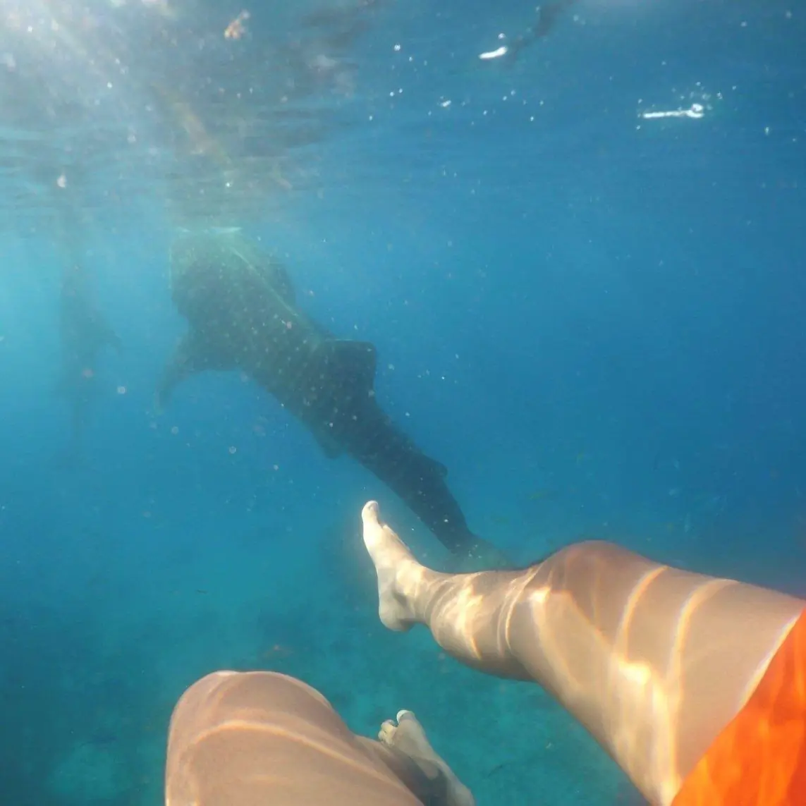
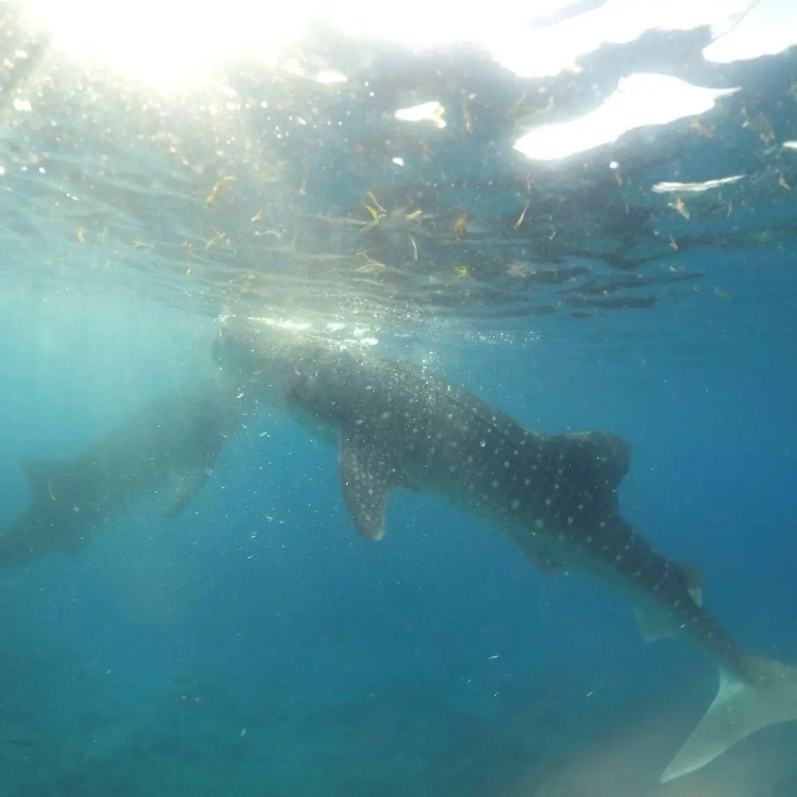
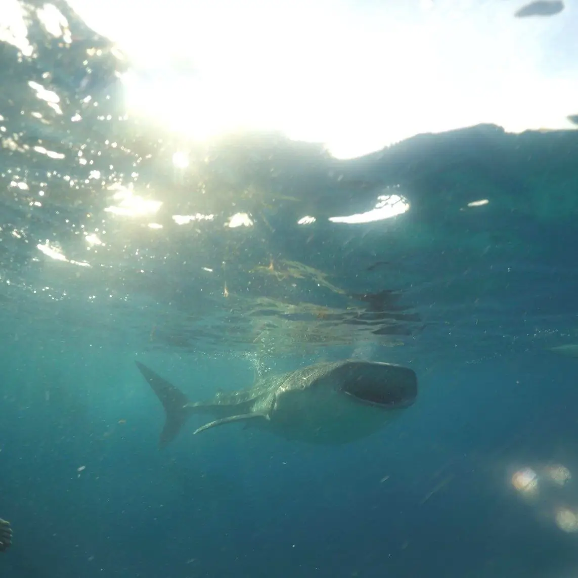
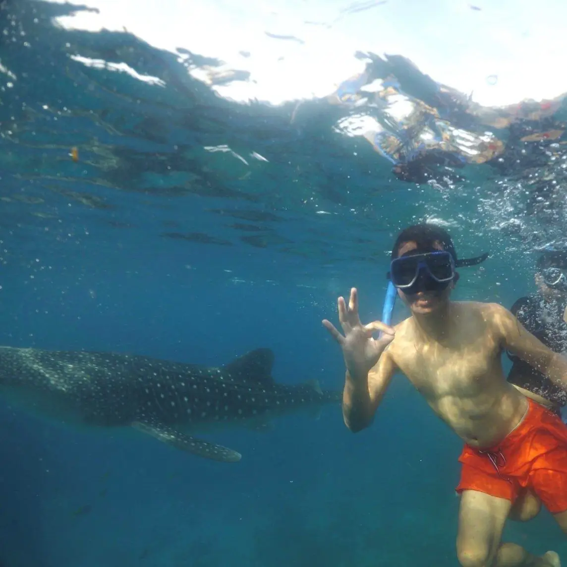
Your Cebu trip is not complete until you have swum beside a butanding, the whale shark, even if the gentle giant turns its back on you.

Come early. Leave before dawn to beat the traffic and reach Tan-awan in Oslob while the crowd is small. Arrive after six in the morning and the lines are already long. The orientation begins early, and groups are sent out in batches.

Follow the rules in the water. Keep your distance from the whale sharks and stay near the boat. Sometimes a butanding drifts close on its own, and that is enough to take your breath away.

One honest note. The Oslob activity is popular but controversial. Since around 2011, local operators have hand-fed the whale sharks with small shrimp to keep them near the shore every day. Marine scientists warn that this changes the natural behavior and migration of the animals, teaches them to link boats with food, and raises the risk of injury. It is worth knowing this before you decide to join.

Cebu is full of adventures. Daghang salamat, many thanks.

Mga Larawan

← All stories
Lugar · Badian

Kawasan Falls Canyoneering

Maayong adlaw from Cebu, good day to you.

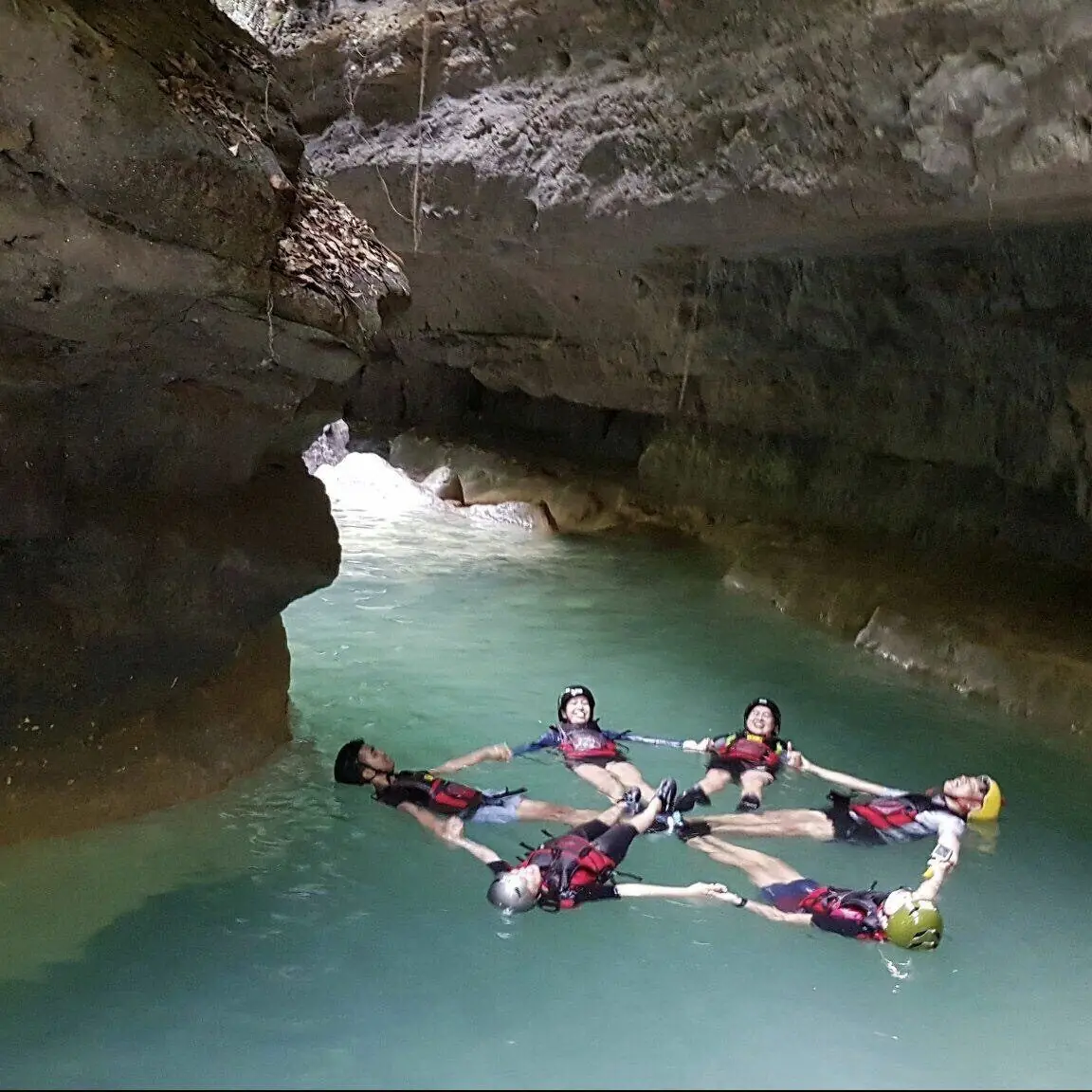
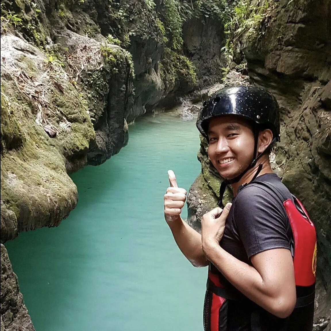
Canyoneering was the most extreme thing I did in the Queen City of the South, and the highlight of my whole trip. It is wild, but it is fun.

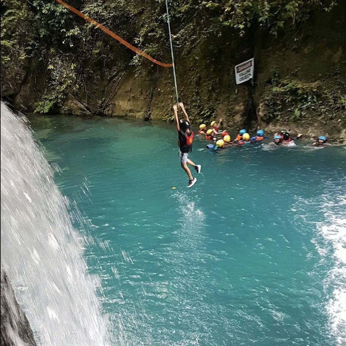
The route runs through the mountains. It usually starts upstream in Alegria, along the Kanlaob River, and ends downstream at Kawasan Falls in Badian. Along the way you hike, swim, raft, climb, and leap from ledges into deep pools. Some of the jumps are high, so you need courage.

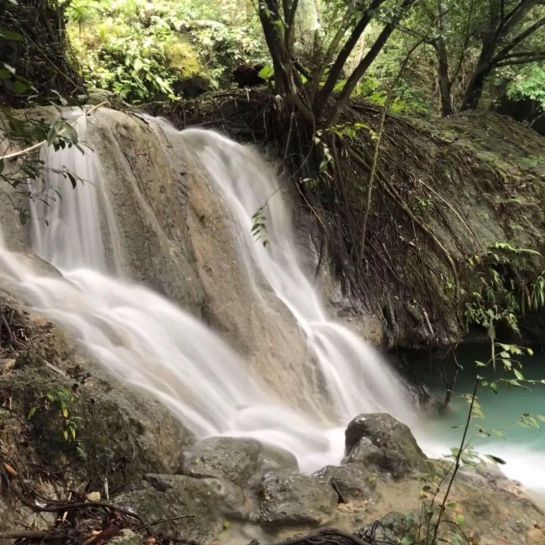
Kawasan itself is a set of turquoise waterfalls fed by mineral springs, tucked into a green gorge about two and a half hours from the city. The color of the water alone is worth the trip.

What you need most is nerve. Bring it, and you will enjoy every minute.

Mga Larawan

← All stories
Lugar · Daanbantayan

Carnaza Island: A Hidden Paradise

If you still dream of a perfect getaway, head to Carnaza Island in Daanbantayan, at the far north of Cebu. This is the place to disconnect from the internet and escape the noise of the city.

Come prepared. Carnaza has long had only limited power, usually from about seven in the morning to ten at night, so bring a flashlight and a power bank. Mobile signal is weak, which is part of the point. The island runs largely on solar power and fishing, though wider electrification is now on the way.

At night, under a clear sky, you can lie on the fine white sand, watch the stars, and listen to the waves. It is a simple reminder of how blessed we are to witness such beauty.

Enjoy kaayo, gyud, truly enjoy it.

Mga Larawan

← All stories
Lugar · Busay, Cebu City

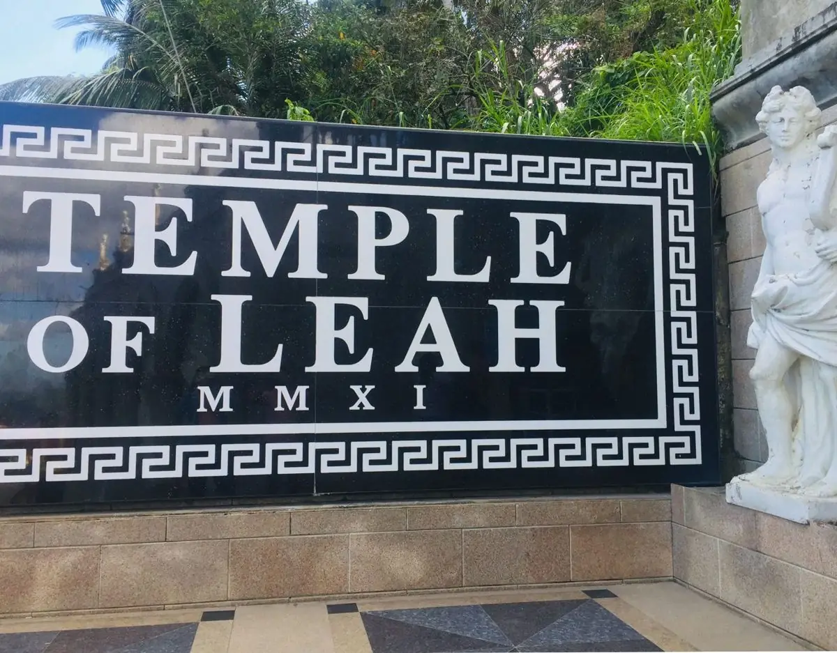
The Temple of Leah

Cebu holds many places worth seeing, and the Temple of Leah is one of them. The first time I visited, I felt goosebumps. A dream come true.

The temple stands on a hill in Barangay Busay, above Cebu City. It was built by the businessman and engineer Teodorico Adarna as a tribute to his wife of fifty-four years, Leah Villa Albino-Adarna. Grand columns, stone lions, and a tall statue of Leah give it the look of a Roman temple. People call it the Taj Mahal of Cebu, a monument of love. Construction began around 2012, and it opened to the public in 2015.

When you see the temple and feel the cool mountain air, you understand the feeling behind it. This is the love of Teodorico for Leah, built in stone for everyone to see.

Mga Larawan

← All stories
Pagkain · Taboan, Cebu City

Danggit and the Taboan Market

When we travel, we do not only enjoy the sights. We enjoy the food and the pasalubong, the gifts we bring home. In Cebu, one of the best reasons to visit is danggit.

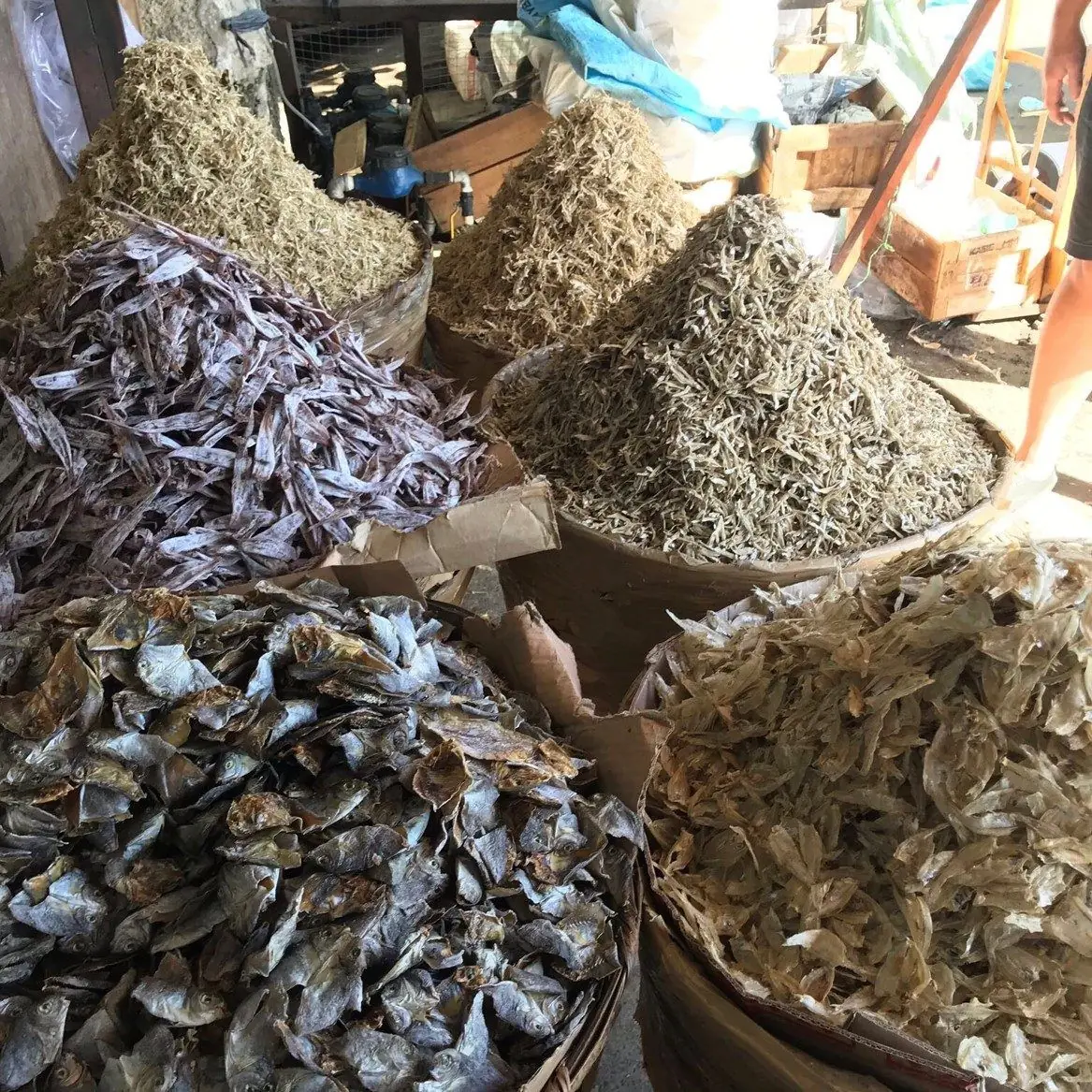
Danggit is dried, salted rabbitfish, split flat and sun-dried. It is a classic Cebuano breakfast, served crisp with rice and vinegar. You can buy dried fish in many parts of Cebu, but locals point you to the Taboan Public Market. It can be hard to find if you do not know the city, but you will know you are close once you catch the smell of the fish.

At Taboan you can buy danggit, pusit, which is dried squid, fish tocino, and much more. Prices have climbed with demand, starting around 800 pesos a kilo. The famous dried mangoes and the crisp otap biscuits are sold here too, ready as pasalubong.

Lami kaayo, very delicious.

Mga Larawan

Davao de Oro Davao Region

New Bataan, December 2012

Typhoon Bopha was not supposed to hit Mindanao. The standard track for Pacific typhoons bends northward; Mindanao sits below the typical track. The communities of Compostela Valley had no typhoon culture — no ingrained protocols for what to do when a Category 5 storm approaches — because in living memory no storm of that magnitude had come directly at them.

New Bataan, a municipality of around 50,000 people in the valley, received the worst of it. Flash floods and landslides came down the mountain slopes in the dark hours of December 4. The Davao River system, which drains the valley, became the instrument of destruction. Over 1,000 people died in the province. Many of the dead were in evacuation centers in low-lying areas that the flood reached anyway.

The name change to Davao de Oro in 2019 was partly administrative and partly an attempt to reframe how the province was known. The gold is real — the mining has been going on for a century — and the name is accurate. But the people of New Bataan who rebuilt their town after Bopha did not do it because the province was renamed. They did it because they had nowhere else to go, and because the valley, when the river was calm and the soil was dry, was still good land.

Davao del Norte Davao Region

The Fastest-Growing City You've Never Heard Of

In 2013, the Philippine Statistics Authority ranked Tagum City among the fastest-growing cities in the country by income. Development economists who study secondary cities in Mindanao use Tagum as a case study. Real estate brokers from Manila call it an opportunity. None of this is visible from the highway going through town, where the commercial strip looks like every other provincial Filipino city — Jollibee, a palengke, hardware stores, money-changers, cell phone repair shops.

What is underneath the surface is the banana industry. Every week, refrigerated containers leave Panabo port bound for Japan, South Korea, and the Middle East. The bananas are Cavendish, a variety developed after the Gros Michel banana was wiped out by Panama disease in the 1950s. The workers who harvest them are largely migrants from Visayas, employed by transnational corporations on land that was Mandaya ancestral territory before the settlers arrived.

On Samal Island, fifteen minutes from Davao City by banca, the tourism economy runs on the same gulf that the cargo ships cross. Resorts have opened on beaches that fishing communities used to have to themselves. The bangkeros who run the boats know both worlds — the tourist from the city who wants to snorkel, and the supply vessel going the other direction loaded with bananas. The gulf holds all of it.

Davao del Sur Davao Region

There is a moment that climbers describe when they reach the summit of Mount Apo on a clear morning: the Pacific Ocean visible to the east, the Celebes Sea to the south, Mindanao spread below in its entirety. For a few seconds, you understand the island in a way that no map makes possible.

The Bagobo Tagabawa have been reaching that summit — or approaching it in ritual intent — for far longer than any recorded history. Their relationship to the mountain is not recreational. Apo Sandawa, the spirit of the mountain, is consulted through ritual specialists called bagani. Before any significant community action — planting, warfare in the old days, now perhaps a court case or a political negotiation — the mountain is addressed. The protocol has changed in form over centuries of contact with Christianity and the lowland state, but the basic orientation toward the peak persists.

In 1992, a geothermal power plant was developed on the slopes of Apo, piping steam from the volcanic field around Lake Agco. Indigenous groups protested — the plant sat inside their ancestral domain and had been approved without their consent. The dispute ran through the courts for years. In 2010, after sustained legal pressure under the Indigenous Peoples Rights Act, some accommodations were reached, though the plant continued operating. The Bagobo had established a legal precedent, if not a complete victory. The mountain remained contested ground, which is perhaps the only honest description of sacred places in a modern state.

Davao Occidental Davao Region

Republic Act 10360 was signed into law on January 17, 2013. It created Davao Occidental and made it the 81st province of the Philippines. In the municipalities of Don Marcelino, Jose Abad Santos, Malita, Santa Maria, and Sarangani, people celebrated. A new province meant a new government, new budget allocations, new attention from Manila.

What it also meant, practically, was that a provincial capitol had to be built, a governor had to be elected, an entire bureaucracy had to be assembled from scratch in a region where roads to the capital sometimes washed out in the rainy season. The first years of Davao Occidental were an exercise in institution-building under frontier conditions.

For the Tagakaulo communities along the coast, provinchood was a political event happening somewhat parallel to their own lives. Their concern was the status of their ancestral domain claims, which had been lodged with the National Commission on Indigenous Peoples and proceeded according to a different timeline from the provincial government's construction projects. A new province did not automatically resolve those claims. It created new interlocutors — a governor's office closer than Digos — but the fundamental negotiations remained unfinished.

The beaches of Davao Occidental's Pacific coast remain largely unknown outside the region. That will not last — the combination of relative remoteness, undeveloped shoreline, and existing marine biodiversity follows a pattern that has drawn developers to other parts of Mindanao. Whether the province manages that pressure better than its neighbors is an open question, and one that its young institutions are not yet fully equipped to answer.

Davao Oriental Davao Region

A Mandaya woman in Cateel sits at her backstrap loom and works a thread of abaca fiber through a pattern she learned from her mother, who learned it from her mother before her. The pattern has a name and a meaning — it encodes a cosmological story about the origin of the Mandaya people. She does not think of this while she weaves. She thinks about the tension of the fiber, the count of threads, the way the dye has taken on this particular section.

The dagmay cloth she is making will take three months. It will be used at her granddaughter's wedding. After that it may be sold to a textile collector in Manila or abroad, or it may stay in the family. She has no strong preference. What matters is that it exists, that it is made correctly, that the pattern carries its meaning forward.

Abaca weaving in Davao Oriental has survived conversion to Christianity, logging that stripped the forest where abaca grew wild, the pressure on young Mandaya women to migrate to the cities, and the repeated cycles of development projects that came into the highlands promising markets for the cloth and delivered them intermittently. It has survived because the practice is embedded in family, not in industry.
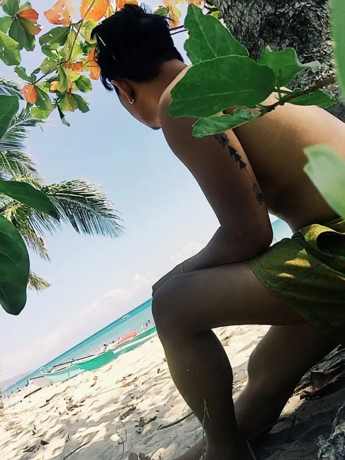
The National Commission for Culture and the Arts declared Mandaya dagmay a National Cultural Treasure. The declaration changed nothing about how the cloth is made. What it changed — slightly, incrementally — is who pays attention.

The Dinagat Islands became a province in 2006, was dissolved by the Supreme Court in 2010, and was reinstated by the same court a year later after a motion for reconsideration. For those twelve months between dissolution and reinstatement, it existed in a legal limbo — elected officials who had won seats in a province that no longer officially existed, residents of a place that the national government was uncertain how to categorize.

The case turned on population and land area requirements set in the Local Government Code. Dinagat did not meet the standard population figure. But there is a provision exempting island provinces from the standard land area requirement — and the courts eventually agreed that this provision applied. What the case revealed was the degree to which the existence of a province depends not just on geography and community but on the precise wording of statutes and the composition of the court at a given moment.

For the fishing families of Cagdianao and the coconut farmers of Libjo, the legal proceedings were remote from daily life. They had lived on these islands, fished these waters, and buried their dead in these municipal cemeteries whether the province existed or not. The provincial government, new as it was, had begun building roads and hiring staff. When the court reinstated it, the work resumed. Whether that work will accumulate into something durable over the coming decades is the actual open question — not the legal one.

Eastern Samar Eastern Visayas

On the morning of November 8, 2013, the barometric pressure in Guiuan dropped to 895 millibars — among the lowest ever recorded. People who have described what came next use the same word: darkness. Not the darkness of cloud cover but a wall of wind and water that removed visibility entirely and with it any sense of direction, scale, or safety.

The storm surge in some coastal barangays of Eastern Samar reached seven meters. Houses — concrete block construction built to survive storms — were scoured to the foundation. People who had survived previous typhoons by sheltering in strong buildings discovered that their calculus of safety was wrong. Yolanda was not a stronger version of the storms they knew. It was a different category of event.

In the weeks after, reporters and aid workers arrived in large numbers. The coverage focused heavily on Tacloban across the water in Leyte, which had a larger casualty count and was more accessible. Eastern Samar's suffering was real and extensive but slower to reach international attention. Communities in the interior of the province waited weeks for relief that reached the coast first.

Recovery was uneven and in some places remains incomplete a decade later. But the province had rebuilt before — after other storms, after the depopulation of the American period, after every historical disruption that preceding generations had endured. The komposo singers documented Yolanda in song. The Balangiga bells came home five years later. Guiuan rebuilt its waterfront. The coast reopened for diving. This is not resilience as a comfort — it is resilience as bare fact.

Guimaras Western Visayas

On August 11, 2006, the tanker MV Solar 1, chartered by Petron Corporation, sank in the Guimaras Strait during bad weather. The sinking released approximately 500,000 liters of bunker fuel oil into the strait. The oil spread across 116 barangays in Guimaras, Iloilo, and Negros Occidental, coating 102 kilometers of coastline.

The immediate response was inadequate. The national government declared a state of calamity, but cleanup resources were slow to arrive. Fishing families — whose income depended entirely on the sea — watched their grounds turn black. Some families received compensation; the amounts were disputed and the process took years. Several fishing communities in the affected municipalities never fully recovered the catch levels they had before the spill.

What the spill revealed about Guimaras was the thinness of the margin on which its economy operated. The province had no diversified industrial base to absorb the loss of fishing income. The mango farms — in the interior and not directly touched by the oil — continued producing. But the coastal communities, which had no mangoes, had nothing.

The long-term ecological impact is still debated. Marine biologists have found evidence of recovery in some reef systems. Others document persistent effects in sediment contamination and changes to fish population dynamics. The Guimaras Strait is not what it was before August 2006. Whether it can return to what it was is a question without a settled answer.

Ifugao Cordillera Administrative Region
← All stories
Lugar · Banaue

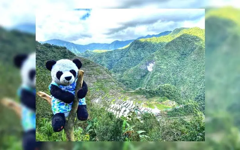
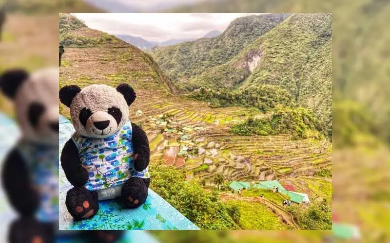
The Banaue Rice Terraces

The Banaue Rice Terraces are among the most famous sights in the country, carved into the mountains of Ifugao province.

They were shaped by hand by the Ifugao ancestors, following the mountain slopes and fed by streams from the forests above. Tradition holds that they are two thousand years old. Scholars now think it may be several centuries, but their scale and age are remarkable either way.

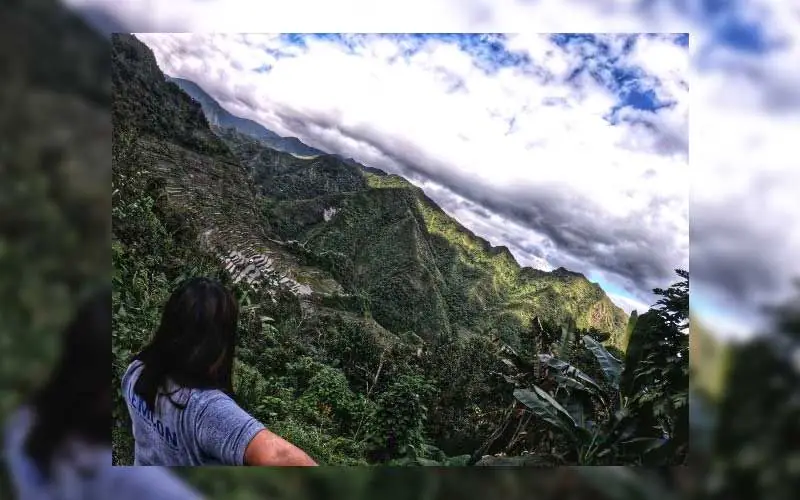
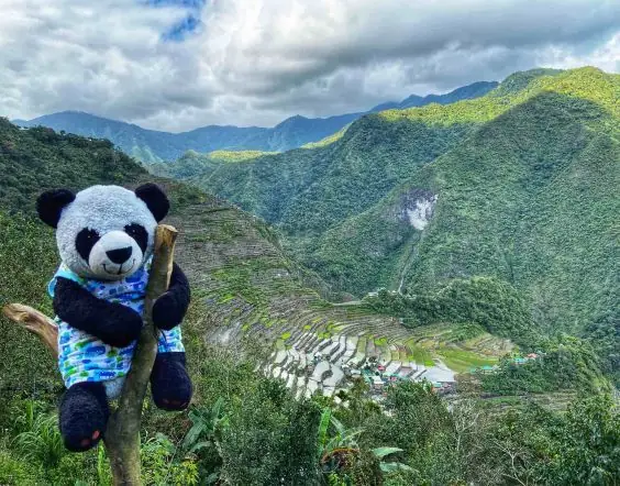
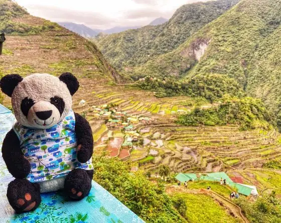
One note for the record. The terraces seen in the Banaue town view, the ones on the old thousand-peso bill, are not themselves on the UNESCO World Heritage list. That honor belongs to five clusters nearby, among them Batad and Bangaan within Banaue, and Nagacadan, Hungduan, and Mayoyao. Together they show a way of life kept for many generations. With my travel buddy Baby P along, this was one landmark not to miss.

Mga Larawan

Ilocos Norte Ilocos Region
← All stories
Kasaysayan · Ilocos

Juan de Salcedo

Juan de Salcedo, one of the boldest figures of the early Spanish colony, was born around 1549 in Mexico. He was the grandson of Miguel Lopez de Legazpi, the first Spanish governor-general of the Philippines.

He arrived in 1569, at about twenty, and soon led expeditions along the northern coast of Luzon. In 1572 he founded the Spanish town of Vigan, which he named Villa Fernandina, opening the north to Spanish rule.

He pushed along the Ilocos coast and into the edges of the Cordillera, and was known, for his time, for dealing fairly with the local people.

His life was short. He died in Vigan in 1576, of illness, at about twenty-seven. The old street of Calle Salcedo in Vigan still carries his name.

← All stories
Kasaysayan · Laoag

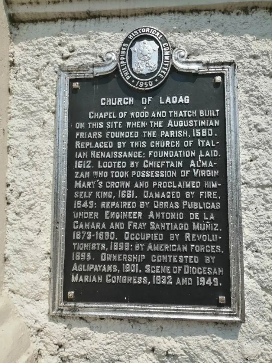
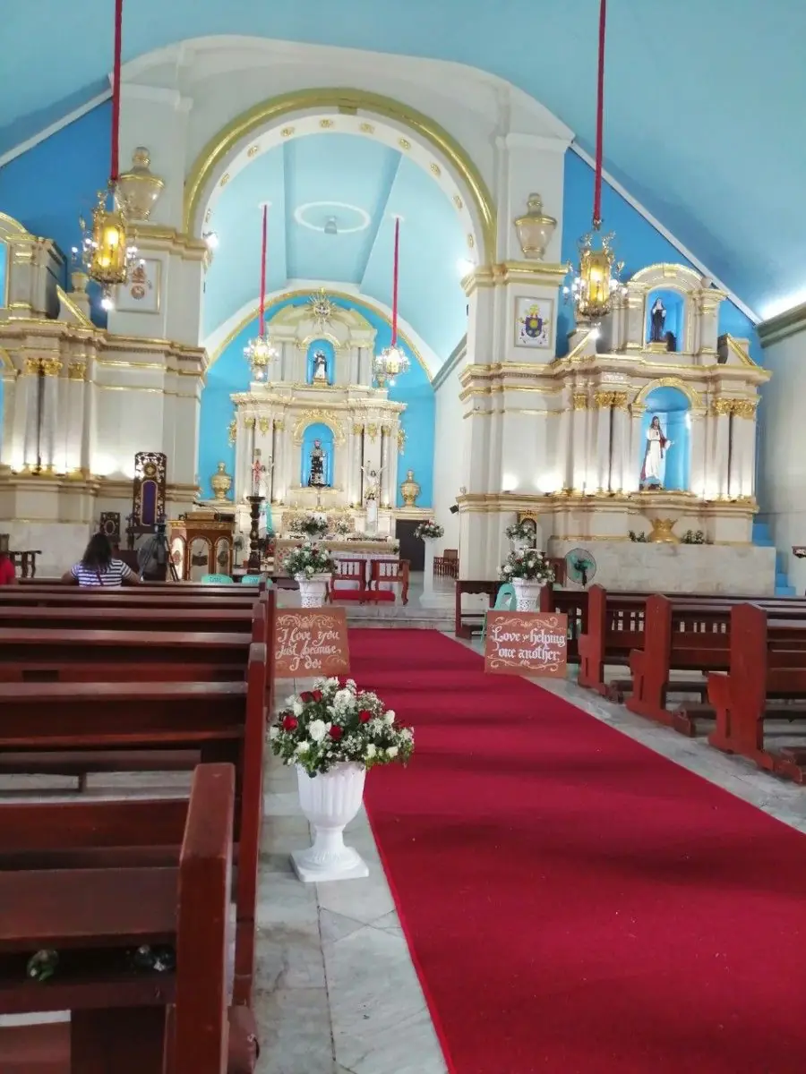
St. William's Cathedral

In every new place, the first thing I look for is the church. St. William's Cathedral, the Laoag Metropolitan Cathedral, is one I will not forget.

The Augustinians set up the parish in 1580 with a simple church of wood. The present stone church rose in 1612, in an Italian Renaissance style, and it became a cathedral in 1961 with the founding of the Diocese of Laoag.

It stands within easy walking distance of the city center. Ask anyone in Laoag and they will point the way, because everyone knows it.

Mga Larawan

← All stories
Kasaysayan · Laoag

The Sinking Bell Tower

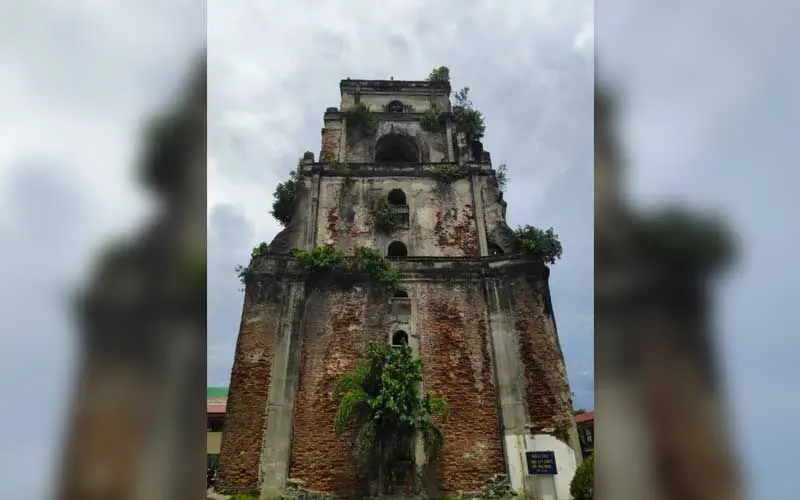
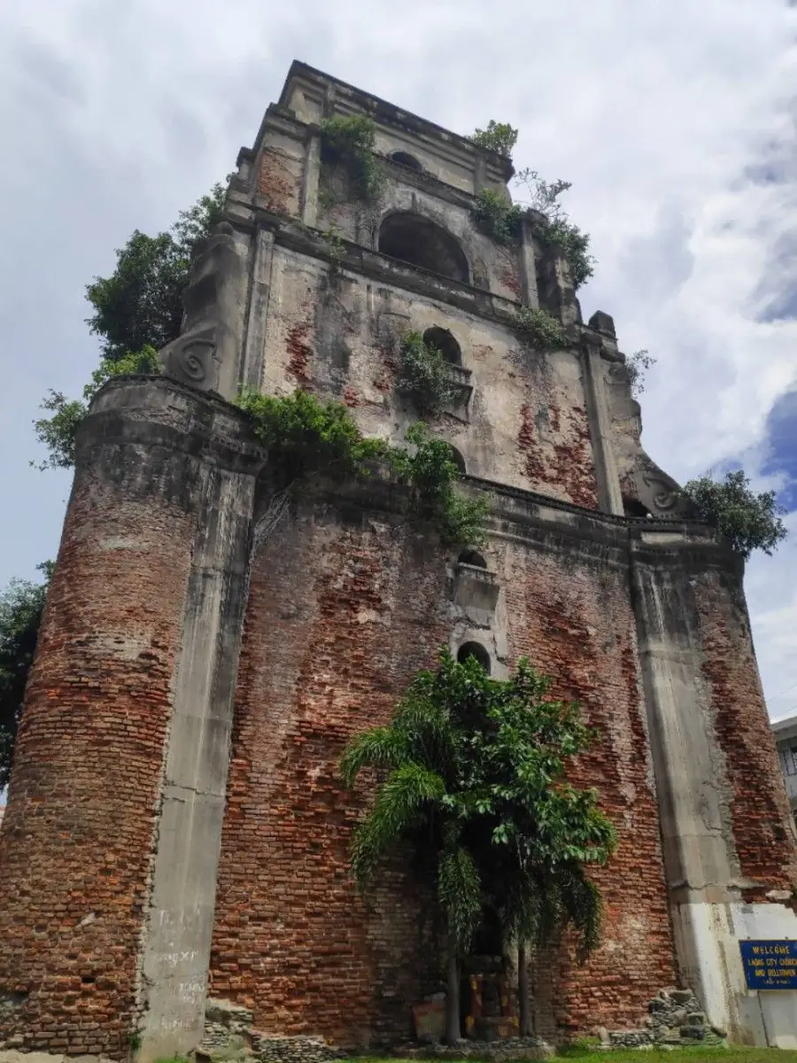
Near the cathedral stands the Sinking Bell Tower of Laoag, built by the Augustinians around 1612 as a separate bell tower.

Its great stone weight sits on soft, sandy ground, and over the centuries it has slowly settled, sinking about an inch a year. Old lore says a person on horseback could once ride through its doorway, and that today you must stoop to enter. Whether or not the tale is exact, the tower truly is sinking.

I saw more than a tourist spot here. I saw nature quietly taking back its ground, a reminder that for all we build, we remain at nature's mercy.

Mga Larawan

← All stories
Lugar · Laoag

The La Paz Sand Dunes

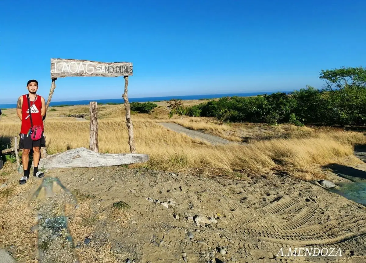
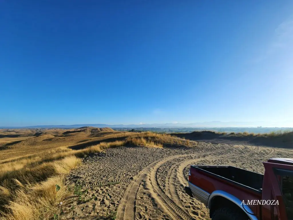
After two months of work in Ilocos Norte, I finally reached the Desert of the North, the La Paz Sand Dunes, only about forty minutes from Laoag.

Locals call the dunes Bantay Bimmaboy, for hills shaped like pigs. This sweep of sand by the sea has stood in for deserts on screen, appearing in the classic film Himala, in Panday and Temptation Island, and even in Hollywood's Born on the Fourth of July.
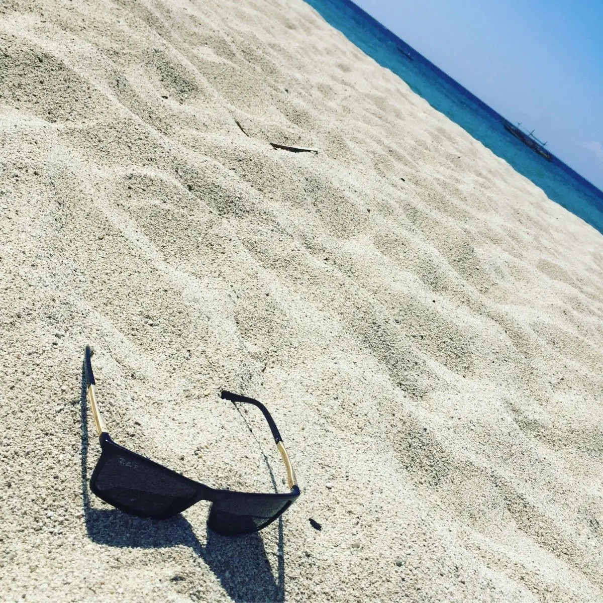
If you are planning a trip to Laoag, put the dunes on your list.

Mga Larawan

Ilocos Sur Ilocos Region
← All stories
Kasaysayan · Santa Maria

Santa Maria Church

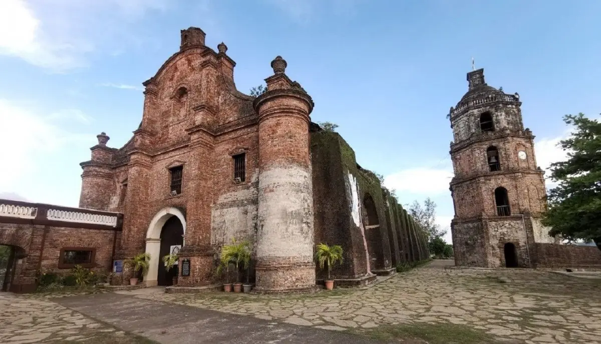
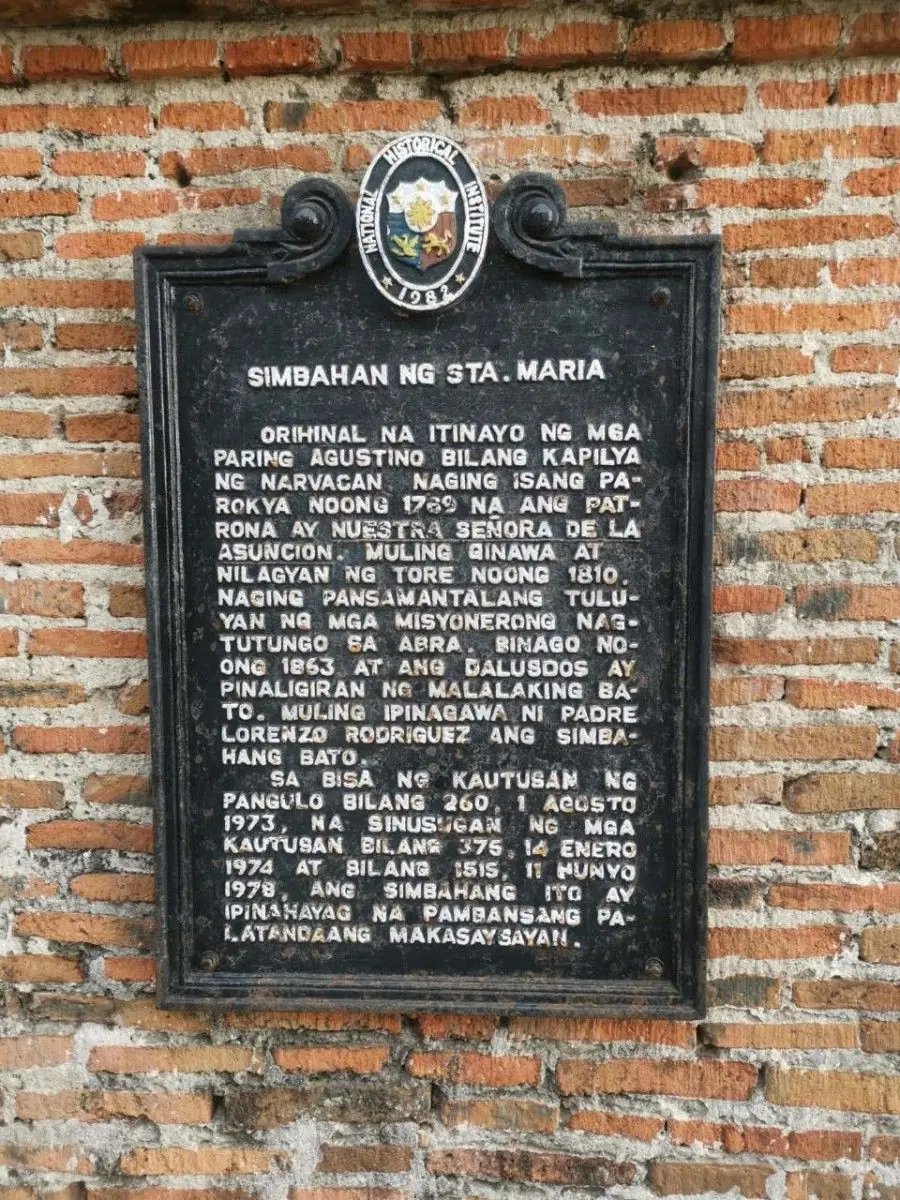
The Nuestra Senora de la Asuncion Church, the Church of Our Lady of the Assumption, stands in the town of Santa Maria, Ilocos Sur. It is one of the four Baroque Churches of the Philippines named a UNESCO World Heritage Site in 1993.

Built by the Augustinians around 1765, it is unusual among Philippine churches. Instead of facing a town plaza, it sits alone on a hill, reached by a long stone stairway, and it was made to double as a fortress. Its heavy brick walls are a fine example of the earthquake baroque style.

To climb the steps and stand before it is to meet more than two centuries of faith and history.
Mga Larawan

Iloilo Western Visayas
← All stories
Kasaysayan · Guimbal

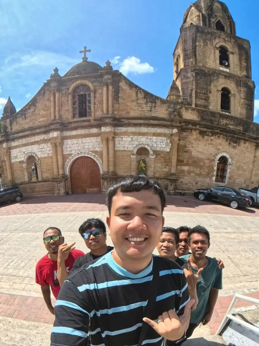
Guimbal and Its Old Church

Guimbal, a coastal town in Iloilo, was founded in 1703 and is one of the oldest in the province. Its name may come from guimba, a local drum of carabao hide, or from a word for a gong.
Its church, San Nicolas de Tolentino, is built of yellow igang, the local sandstone, together with coral stone. In the Spanish era the coast was guarded by stone watchtowers, the bantayan, against Moro raids. Several were built and a few still stand, and the Bantayan Festival re-enacts those old raids in street dance each year.

Near the church is a quiet Adoration Chapel, a small and simple space for prayer, a peaceful counterpart to the grand old church at the town's heart.

Mga Larawan

← All stories
Kasaysayan · Miag-ao

Miag-ao Church, a UNESCO Treasure

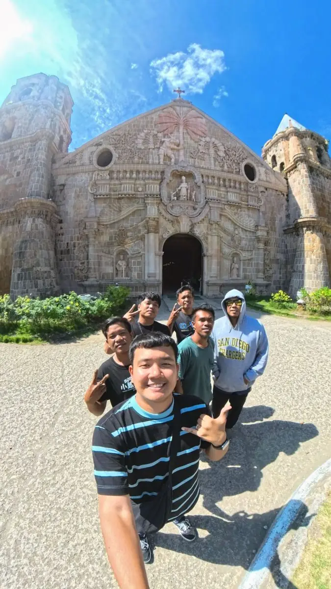
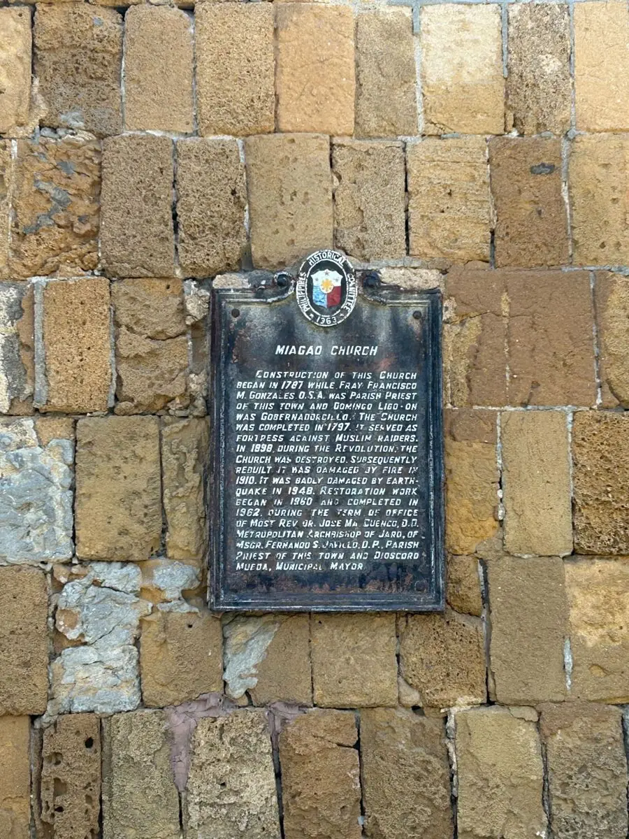
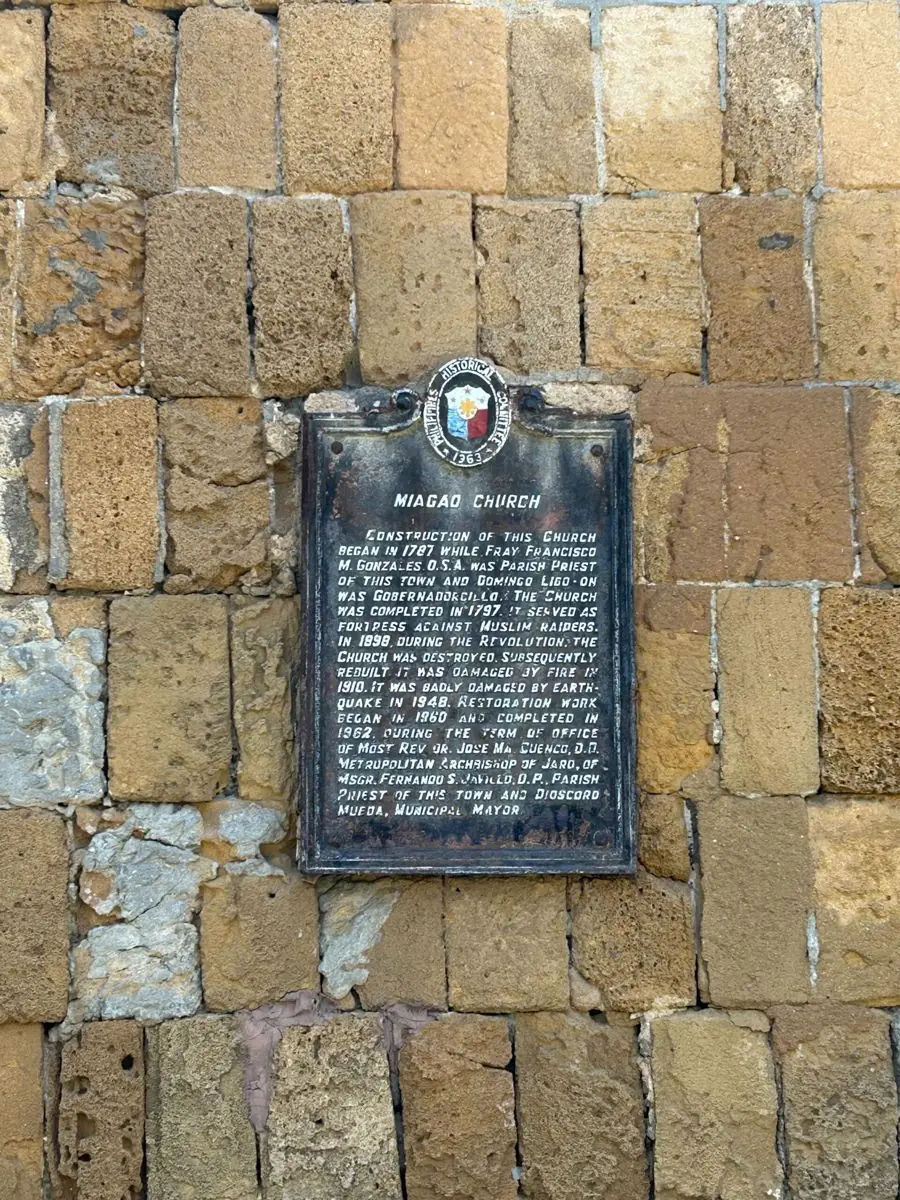
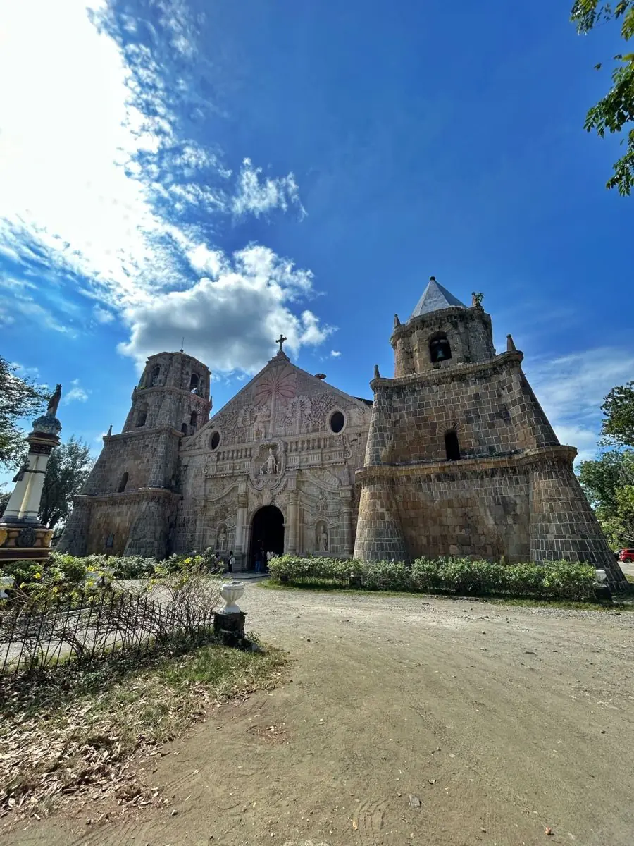
The Church of Santo Tomas de Villanueva in Miag-ao, Iloilo, is one of the four Baroque Churches of the Philippines inscribed as UNESCO World Heritage Sites. It was built by Augustinian friars between 1787 and 1797.

It is a fortress as much as a church, its thick walls and twin bell towers raised against pirate raids. Its famous facade is carved with rural and tropical life: Saint Christopher in native dress carries the Christ Child through a landscape of coconut palm, papaya, and rice, a Filipino reading of a Christian scene.

The town itself, made a pueblo in 1716, is named for a local datu and the native gao tree. It is a place of rice farms, fishing, and the University of the Philippines Visayas, where old faith and new learning stand side by side.

Mga Larawan

← All stories
Lugar · Leon

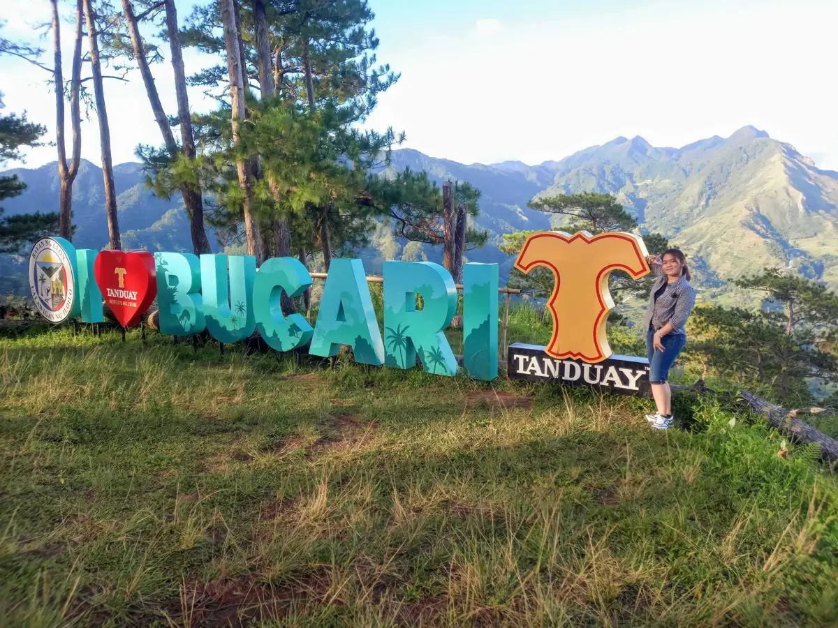
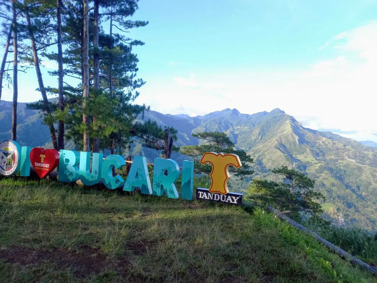
Bucari, the Little Baguio

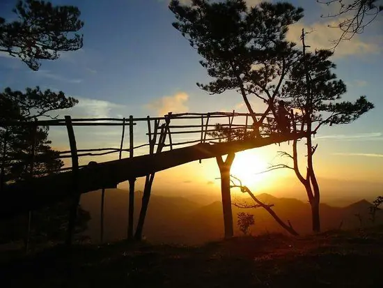
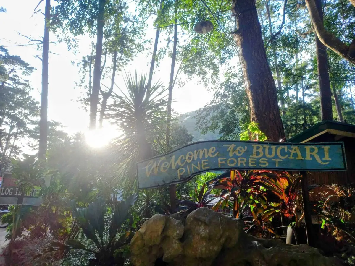
Bucari, in the town of Leon, Iloilo, is called the Little Baguio of the Visayas. High in the Bucari mountains, at around 1,200 meters, it is cool and green, with stands of pine and long views over the valleys below.

Once known only to locals, it has become a favorite for those seeking fresh air and quiet, with trails for trekking and camping and cool mornings that feel far from the tropical lowlands.

Its crisp air and towering pines make it a hidden gem, a small piece of the highlands in the heart of Panay.

Mga Larawan

← All stories
Lugar · Iloilo City

The Iloilo River Esplanade

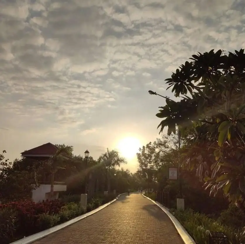
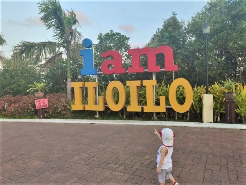
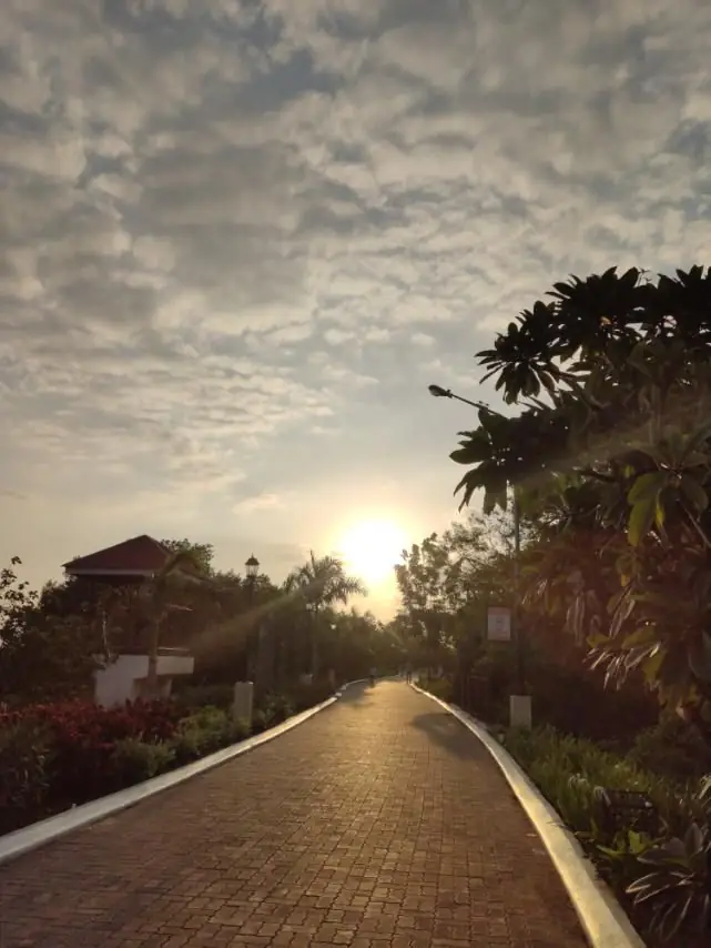
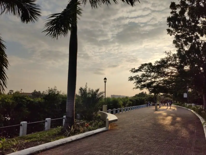
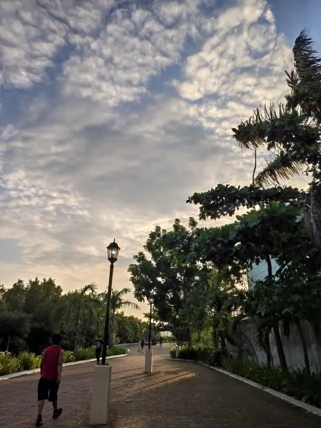
Walking clears my head, and in Iloilo City there is one place I always go: the Iloilo River Esplanade. It is a promenade about a kilometer long that runs beside the river, where joggers, bikers, and families come out in the cool of the day.

I went in the late afternoon, in fine weather, and it was the perfect time. The park was clean and calm, lined with coconut palms and free of the tangle of wires you see on the streets. As the sky turned red over the water, I found a spot by the river and simply sat.

A good walk, a good rest, and a quiet, beautiful evening by the river.

Mga Larawan

← All stories
Kasaysayan · Iloilo City

Molo Church

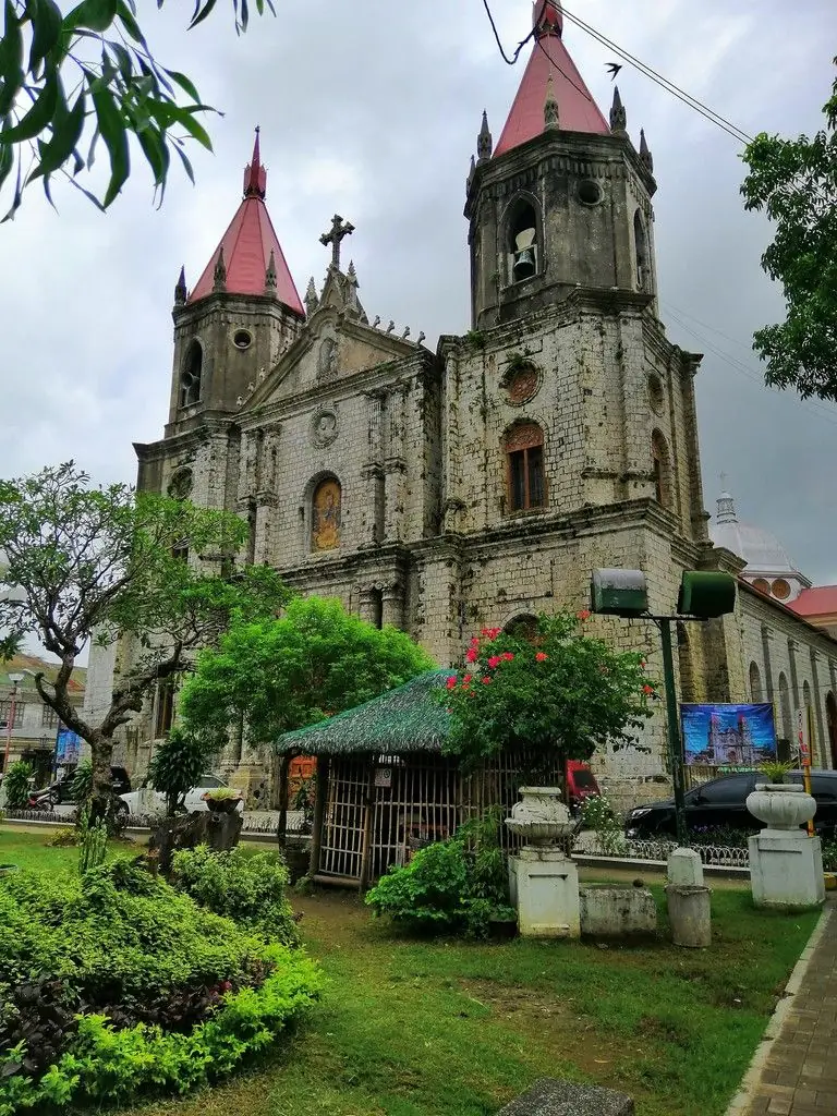
The Molo Church in Iloilo City, the St. Anne Parish, is the only Gothic-Renaissance church in Western Visayas. Its coral-stone walls and twin spires make it one of the city's landmarks.

It is fondly called the feminist church, because the sixteen statues of saints that line its aisles are all women. It is a rare and lovely detail in a country of grand old churches.

Standing strong through the centuries, Molo is a reminder of Iloilo's deep history and artistry, and of a people who, like their church, do not easily bend.

Mga Larawan

← All stories
Kasaysayan · Iloilo City

Jaro Cathedral

The Jaro Metropolitan Cathedral in Iloilo City enshrines Nuestra Senora de la Candelaria, Our Lady of Candles, the beloved patroness of the region.

It holds a singular honor. On 21 February 1981, Pope John Paul II crowned the image during his visit and declared her Patroness of Western Visayas. It remains the only Marian image in the Philippines personally crowned by a pope.

Devotees come to pray and to seek healing, and tradition holds that the stone image on the facade is slowly growing. Faith runs deep here, and Jaro is its heart.

Isabela Cagayan Valley
← All stories
Kasaysayan · Palanan

Palanan, Where Aguinaldo Was Captured

The Philippine-American War turned to guerrilla resistance after 1899, and President Emilio Aguinaldo moved his camp again and again through northern Luzon, at last to the remote town of Palanan, in Isabela.

On 23 March 1901, American soldiers reached his camp disguised as Filipino reinforcements, guided by Macabebe scouts. They seized Aguinaldo and brought him to Manila. His capture effectively broke the organized resistance.

Palanan is hard to reach even today, ringed by mountains and the Pacific. It happened here, in one of the quietest corners of the country.

Mga Larawan

← All stories
Lugar · Ramon

Magat Dam

The Magat Dam rises on the Magat River, at the boundary of Ramon, Isabela and Alfonso Lista, Ifugao. It is one of the largest dams in the Philippines, built for irrigation and hydroelectric power.

I visited from my hometown of San Mariano, about three hours away, and was struck by the sheer size of it. I came in the wet season, when the reservoir was full and the views across Isabela were at their best.

Mga Larawan

Kalinga Cordillera Administrative Region
← All stories
Kultura · Buscalan, Tinglayan

Apo Whang-Od of Buscalan

In the mountain village of Buscalan, in Tinglayan, Kalinga, I finally met a living legend: Maria Oggay, known to the world as Apo Whang-Od. Born in 1917, she is the most famous mambabatok, a traditional hand-tap tattoo artist, in the country.

Reaching Buscalan is no easy walk. The trek is hard, the wait to be tattooed by Apo can be long, and there is no phone signal, so come ready in body and spirit. Your phone is good only for photos and a sunrise alarm.

A tattoo from her hand carries deep meaning and history, marked in the old way with a thorn and soot. To visit the village, meet the people, and receive that mark is an experience to cherish for life.

Mga Larawan

Laguna CALABARZON
← All stories
Lugar · San Pablo

The Seven Lakes of San Pablo

In the province of Laguna, around the city of San Pablo, lie seven crater lakes, a quiet wonder set among green hills and mountains.

The lakes are maars, formed where hot magma met groundwater in violent eruptions long ago. They belong to the San Pablo Volcanic Field, in the rift between Mount Makiling and Mount Banahaw. Each has its own character: Sampaloc, the largest and deepest, ringed by a walking and cycling path; the twin lakes of Pandin and Yambo, crossed by bamboo raft, with a floating restaurant on Pandin; Bunot and Kalibato; Palakpakin, a favorite for picnics; and Muhikap, tucked away and loved by birdwatchers.

The lakes have suffered from over-fishing and crowding on their shores, but conservation work, including clearing structures and teaching care for the water, is helping them recover. They remain one of Laguna's most peaceful escapes.

Mga Larawan

← All stories
Kasaysayan · Calamba

Jose Rizal of Calamba

Jose Protasio Rizal was born on 19 June 1861 in Calamba, Laguna, and is honored as the national hero of the Philippines. He was a doctor, a writer, and a reformist.

He studied at the Ateneo Municipal de Manila, then medicine and letters in Europe, at Madrid and Paris, where liberal ideas shaped his thinking. His novels, Noli Me Tangere in 1887 and El Filibusterismo in 1891, laid bare the injustices of Spanish rule and awakened a national consciousness.

Rizal argued for reform and education rather than armed revolt, yet his writing made him a threat. On his return he was arrested and exiled to Dapitan in Mindanao, where he taught, healed the sick, and continued his studies.

On 30 December 1896 he was executed by firing squad at Bagumbayan, now Rizal Park in Manila. His death lit the fire of the revolution. His birthplace in Calamba, and his final poem Mi Ultimo Adios, keep his memory close.

Mga Larawan

← All stories
Kasaysayan · Pila

The Church of Pila

The San Antonio de Padua Parish Church stands at the heart of Pila, Laguna, one of the country's best-preserved heritage towns.

The mission was founded in 1578 by Franciscan friars, and Pila became a parish in 1581. It is held to be the earliest parish dedicated to Saint Anthony of Padua in the Philippines. The claim that it was the first in Asia is a local tradition rather than settled history.

The church shows Spanish-colonial architecture, with a Baroque facade and a richly worked interior, and has been rebuilt more than once after disasters. Around it, the old plaza and ancestral houses form the Pila Historic Town, declared a National Historical Landmark. It remains the town's spiritual and cultural center.

Mga Larawan

Lanao del Norte Northern Mindanao
← All stories
Lugar · Iligan

Iligan, City of Majestic Falls

Iligan, in Lanao del Norte, is known as the City of Majestic Waterfalls, and it earns the name. More than twenty falls pour from its hills, among them Tinago, Limunsudan, and the most famous of all, Maria Cristina.

Maria Cristina Falls drops about ninety-eight meters on the Agus River, its powerful twin cascade harnessed for hydroelectric power that lights much of Mindanao. It is often called the Queen of Philippine Waterfalls. Access was closed for years after the 2017 Marawi siege nearby, and I counted myself lucky to view it during a brief window.

Iligan's story is layered: a village of the Higaonon, then Visayan migrants, then one of the earliest Christian settlements under the Spanish, and later an American town, before its own freedom and cityhood. Today its falls and its power plants make it one of Mindanao's natural and industrial landmarks.

Mga Larawan

What Remained of Marawi

In October 2017, five months after Maute Group fighters first occupied sections of Marawi City, the Philippine military declared the battle over. By then, the ground battle — the longest urban combat operation in Philippine history — had leveled most of the old city center. Mosques, schools, market stalls, ancestral homes: the destruction was nearly total in the affected zone.

More than 350,000 people had fled. They went to evacuation centers in Iligan and Cagayan de Oro, to relatives' homes across Mindanao, to urban apartments in Manila. The city's fabric merchants, its silversmiths, its teachers at MSU-Marawi — all displaced. A city of roughly 200,000 people had been hollowed out in five months.

Years later, the return has been partial. Some residents came back to find their land under a government redevelopment zone; the compensation offers were disputed. Others returned to find their homes still standing but their neighborhoods unrecognizable — the streets remapped, the buildings replaced by unfamiliar structures, the community that gave the place its character scattered. Marawi is being rebuilt. Whether what rises is Marawi is a question the Maranao people continue to argue over.

La Union Ilocos Region
← All stories
Lugar · Agoo

Agoo Eco-Park

When people think of La Union, they think of the surf town of San Juan. But the province has more than beaches.

On a recent visit I found the Agoo Eco-Park, in Sta. Rita, part of the Damortis-Agoo protected landscape and seascape. There is a small entrance fee, and just past it a lovely avenue of agoho trees lines the road, cool and quiet.

A little farther on is the beach: fine grey sand, big rounded pebbles, and a long shoreline good for swimming, kite flying, or a game with friends. There are huts and plenty of parking. Come in the afternoon, and you can watch a fine sunset with your family.

Mga Larawan

← All stories
Kultura · San Fernando

Ma-Cho Temple

The Ma-Cho Temple stands on the sea coast of San Fernando, La Union, one of the country's grand Taoist temples. Its cornerstone was laid in 1975, and it was inaugurated in 1978.

It honors Mazu, known here as Ma-Cho, the Chinese goddess of the sea. Its bright halls and gates rise in vivid color above the water. The temple is open to everyone, Taoist or not, and it is a striking, welcoming place to visit.

Mga Larawan

Leyte Eastern Visayas
← All stories
Kasaysayan · Palo

The MacArthur Landing Memorial

On 20 October 1944, General Douglas MacArthur waded ashore at Red Beach in Palo, Leyte, making good on his promise, I shall return. The Leyte Landing began the liberation of the Philippines from Japanese occupation.

The moment is marked today by the MacArthur Landing Memorial National Park in Palo, a short drive from Tacloban. Seven bronze statues, larger than life, stand in a pool of water, re-enacting that famous stride onto the shore.

The statues are more than ten feet tall, and through storm after storm they have held their ground. To stand before them is to feel the weight of that day, and I told myself I would return here too, next time with my family.

Mga Larawan

The Marsh and the Memory

When conflict came to the Maguindanao lowlands — and it came in the 1970s, the 1990s, the 2000s — the Liguasan Marsh was where people went. Families loaded their belongings into bancas and pushed out into the reeds, into the labyrinthine channels where outsiders could not easily follow. The marsh had been a refuge before written memory began. It was a refuge again.

Fishermen who grew up on the marsh can navigate it without landmarks, reading the current, the smell of the water, the direction of bird flight. The marsh does not look the same from two visits. Channels shift with the flood season. Islands of floating vegetation move. The ecosystem is alive in a way that makes fixed maps useless.

The same quality that made the marsh a refuge — its shifting, trackless, living geography — makes it difficult to protect. Farmers drain its edges for rice paddies. Dynamite fishing depletes its stocks. The endemic species documented by biologists in the 1980s have contracted in range since. What the marsh holds in its dark water — the crocodiles, the herons, the endemic labahita fish — is diminishing. The people who know it best are the ones who may not be able to stop what is happening to it.

The Sultan Who Traded with Everyone

Sultan Kudarat understood something about power that the Spanish never fully grasped: that the Mindanao River was a road, and whoever controlled the road controlled the interior. The sultan's court moved between multiple locations along the river, maintaining authority not through a fixed capital but through constant presence, kinship networks, and the ability to mobilize warriors faster than any outside power could send ships.

When the Dutch arrived in the 1600s looking for trade routes that bypassed Spanish control, Kudarat signed treaties with them. When the Spanish sent armies, he withdrew into the river system and let them exhaust themselves in the marshes. He signed treaties with the Spanish too, when it suited him, and violated them when conditions changed. He was not a noble savage resisting colonialism out of principle. He was a ruler playing the game of 17th-century Southeast Asian geopolitics with considerable skill.

He appears on the 100-peso bill now, a Philippine national hero. The framing is that of a freedom fighter who resisted foreign conquest. That is true, but incomplete. He was a sultan in a system of sultanates, a player in a world of multiple competing powers, and the reason the Maguindanao people maintained their independence for as long as they did was because he understood that the choice was never simply between resistance and surrender. It was always more complicated than that.

Marinduque MIMAROPA

The Centurion Behind the Mask

He has been making masks for twenty-three years. The workshop is in a room off the back of the house — tools on a rough table, half-finished forms hanging from the walls, the smell of wood shavings and paint. He starts with a block of soft light wood, and by the time he finishes, the face of a Roman soldier looks back at you: painted cheeks, mustache, fierce eyes, the open mouth sometimes showing teeth.

Each mask takes between one and three weeks depending on complexity. Some families have the same masks for decades, repainted each year. Some masks have names. His own Moriones costume — helmet, breastplate, cape, sandals — took him two years to assemble in the form he wanted. He wears it every Holy Week, from Palm Sunday through Easter, walking in the heat in forty kilograms of costume and mask, anonymous behind the painted face.

He is a fisherman the other fifty-one weeks of the year. He does not see the Moriones as a performance or a tourist event. He sees it as a religious obligation that happens to have theatrical form. The mask, he says, is not a disguise. It is a face you wear when you are doing something serious. You put it on and you become the role. This, he says, is how it has always worked. The mask is older than the man behind it.

Masbate Bicol Region

The Only Rodeo

Every April in Masbate City, a man climbs onto the back of a bull. The bull is 600 kilograms of confused and angry animal. The man holds a rope in one hand and his other hand in the air and tries to stay on for eight seconds. Usually he does not.

This is not metaphor. It is the Rodeo Masbateño, and it happens because Masbate has cattle and the people who raise cattle developed, over generations, the skills to work them: roping, cutting, riding. The Spanish vaquero tradition arrived with the hacienda system and stayed. The American period reinforced it with better breeds and fencing techniques. Somewhere in between, the competitive instinct turned practical skill into sport.

The cowboys of Masbate do not perform for tourists. They compete for prize money and local reputation in events that test what they actually do for a living. A roper who can drop a calf in five seconds has that skill because he uses it on a working ranch. The audience at the rodeo understands what they are watching because many of them do the same work. That is what makes it real. There are rodeos elsewhere in Asia staged for spectacle. There is only one in the Philippines that is also a trade.

Misamis Occidental Northern Mindanao

Crossing the Bay

Panguil Bay is not large by ocean standards, but it is wide enough that a crossing requires a boat and takes long enough to make you feel the distance. For most of the province's history, the bay has been the practical boundary between Misamis Occidental and Lanao del Norte — two provinces that look at each other across the water but belong to different worlds.

The fishermen of the Misamis Occidental shore have worked the bay for generations. They know its currents, the areas where the fish run deepest, the weather that comes in off the surrounding mountains. The bay is productive — the convergence of fresh river water from the surrounding highlands and the salt water of the Bohol Sea creates the kind of nutrient mixing that supports fish stocks. When the catch is good, the Oroquieta market fills before dawn.

The bridge will change things. Engineers say it will cut the trip from Oroquieta to Tubod from two hours by road to twenty minutes. Land values around both bridgeheads are already moving. What happens to the fishermen and the small pump boats that have been the only crossing for centuries — that part of the plan is less clearly described. Progress in the Philippines has a long tradition of not consulting the people who live where it arrives.

Misamis Oriental Northern Mindanao
← All stories
Kasaysayan · Cagayan de Oro

Gaston Park

Gaston Park is a historic plaza in Cagayan de Oro, in Misamis Oriental, named after a former mayor, Segundo Gaston. It sits beside the St. Augustine Metropolitan Cathedral and the city museum, a green and restful spot to spend an afternoon with family or friends.

The park carries a long history. In Spanish times it was the main plaza, and it served as an execution ground. Later, during the Philippine-American War around 1900, it became a training ground for local revolutionaries. A National Historical marker was placed here in 2000.

I missed the park's famous dancing fountain on my visit, but as they say here, there is always a next time.

Mga Larawan

Mountain Province Cordillera Administrative Region
← All stories
Lugar · Sagada

Marlboro Hill at Sunrise

Sagada was a quiet town before the film That Thing Called Tadhana sent crowds looking for its sunrises. Seeing it on screen is one thing; standing on the hills at dawn is another.

Marlboro Hill, a grassland ridge the locals call Marlboro Country, is one of the best places to meet the morning. The hike starts around three in the morning, in the dark and the cold, along a muddy, slippery path, an hour of endurance through mossy forest.

Then comes the summit, just before sunrise. A cold wind, clean air, and a 360-degree view as the sea of clouds rolls below and the sky turns gold. Spiderwebs beaded with dew shine like snowflakes in the grass. For a moment you could be in another country. It is a physical reward, and it makes Sagada a place everyone should see once.

Mga Larawan

← All stories
Lugar · Sagada

The Blue Soil Hills

The Blue Soil Hills of Sagada are exactly what the name says, a hillside of soil tinted an unusual blue-green. You will not see this anywhere else in the country.

The color, our guide explained, comes from copper sulfate in the soil, and it deepens when the ground is wet. Found at Kaman-Utek, it is one of Sagada's newer attractions and one more reason the town is worth the trip.

Mga Larawan

Negros Occidental Western Visayas
← All stories
Kasaysayan · Bacolod

San Sebastian Cathedral

The San Sebastian Cathedral stands at the heart of Bacolod, Negros Occidental, named for the Christian martyr Saint Sebastian. It has been a center of faith since the late nineteenth century.

The parish dates to 1788, but the stone cathedral came later. Fr. Mauricio Ferrero designed the work and saw it through. The cornerstone was laid on 27 April 1876, and the church was consecrated on 19 January 1882, built of coral stone brought from Guimaras, with twin bell towers added in 1885.

When the Diocese of Bacolod was created in 1932, San Sebastian became its cathedral. By the entrance stand monuments to Fr. Fernando Cuenca, who founded many Negros towns, and to Fr. Ferrero, remembered as a father of Bacolod.

The feast of Saint Sebastian falls on 20 January, and the cathedral also marks Our Lady of the Most Holy Rosary each October, at the height of Bacolod's famous MassKara Festival.

Mga Larawan

← All stories
Kasaysayan · Talisay

The Ruins

The Ruins, in Talisay City near Bacolod, is one of the most beloved landmarks of Negros Occidental, often called the Taj Mahal of Negros.

It is the skeleton of a grand mansion built in the early 1900s by the sugar baron Don Mariano Ledesma Lacson, in memory of his wife, Maria Braga, of a Macau family, who died while carrying their eleventh child. He raised the house as a monument to her.

During the Second World War, Filipino and American forces burned the mansion to keep it from becoming a Japanese garrison. Its Italianate columns and fine details survived the fire, and the roofless shell still stands amid landscaped gardens, most beautiful at sunset when it glows against the darkening sky.

Mga Larawan

Negros Oriental Central Visayas
← All stories
Kasaysayan · Dumaguete

St. Paul University Dumaguete

St. Paul University Dumaguete began in 1904 as St. Paul's Academy, founded by seven Sisters of St. Paul of Chartres, with classes opening early the next year.

From a small academy it grew into a full university, one of many schools the Sisters run across the Philippines. Today it offers programs from mass communication and psychology to nursing, education, and business.

Its guiding values remain faith, learning, community, and charity. For more than a century it has shaped generations of Dumaguetenos, a quiet, steady presence in the city's life.

Mga Larawan

← All stories
Kasaysayan · Dumaguete

The National Museum, Dumaguete

The National Museum of the Philippines in Dumaguete offers a window into the heritage of Negros Oriental, set in the heart of the city.

Its galleries hold indigenous artifacts, historical relics, and art, with displays on the province's history, culture, and biodiversity. Interactive exhibits and rare collections make it a rewarding stop.

For anyone curious about Dumaguete's past and its living traditions, the museum is an easy and enriching visit, and entry to the National Museum is free.

Mga Larawan

← All stories
Lugar · Dumaguete

Rizal Boulevard Baywalk

After a long day, sometimes all you want is to breathe, feel the wind, and look at the sky. In Dumaguete, that place is the baywalk along Rizal Boulevard.

A walk here calms the mind. There are benches to rest on, a clean bay that speaks of a disciplined city, and the sea and the morning sun for company.

I spent nearly a month here, and the view and the warmth of the people stayed with me. Dumaguete earns its name, the City of Gentle People.

North Cotabato SOCCSKSARGEN

What the Mountain Holds

Mount Apo is not a mountain you summit casually. Its upper reaches — the mossy forest, the sulfuric crater, the boulder fields approaching the peak — require several days on the trail, proper gear, and a permit from the protected area management office. The mountain straddles the boundary between North Cotabato and Davao del Sur, and both provincial governments maintain entrance points. The Kidapawan side, through Lake Agco, is the traditional route.

For the B'laan and Manobo peoples whose ancestral territory includes the mountain's slopes, Apo is not a trekking destination but a presence. The mountain appears in creation stories. It holds the origins of rivers. It is the place where certain rituals must be performed at certain times. The national park boundary drawn by the government does not coincide with the boundaries the mountain's indigenous custodians would draw.

Climbers from Davao and Kidapawan reach the summit and take photographs with the flag. The Philippine Eagle nests somewhere in the forest below the treeline, rarely seen. The sulfuric vents at the crater's edge smell like the underside of creation. The mountain will be there when everyone who has ever photographed its peak is gone. That, at least, is what the B'laan have always known.

Northern Samar Eastern Visayas

The Stones of Biri

The fishermen of Biri Island know the rock formations by name the way other people know their neighbors. Magasang. Mabilis. Macadlaw. Each formation has its character—the channel that fills at high tide, the overhang that shelters a small boat, the pool where octopus hide after storms. The formations are not tourist attractions to the people who live among them. They are landmarks, navigation aids, places where children play and old men sit.

When geologists first surveyed Biri's coastline, they estimated the formations had been shaped over at least ten thousand years by Pacific swells. Each typhoon that passes north of Samar adds incrementally to the work. The basalt breaks along crystal planes and the water finds the cracks. It is slow and steady destruction that produces, in the short term, something that looks like creation.

A barangay captain on Biri once said that the best time to see the rocks is not during calm weather but just after a storm, when the swell is still running and the water pushes up through the channels in white columns. Visitors who come for the postcard photograph arrive in flat water and see one thing. Those who come after a typhoon—if they can get a boat—see something else entirely. The island's real character, he said, only shows when the sea is not cooperative.

Nueva Ecija Central Luzon
← All stories
Kasaysayan · Cabanatuan

The Great Raid at Cabanatuan

On 30 January 1945, one of the boldest rescues of the war unfolded near Cabanatuan, Nueva Ecija. The United States 6th Ranger Battalion, with Alamo Scouts and Filipino guerrillas under Juan Pajota and Eduardo Joson, moved on a Japanese prison camp holding survivors of Bataan and Corregidor.

After nightfall the Rangers struck. Within minutes the guards were overwhelmed, and the prisoners, thin shadows of themselves, were led and carried out. Local villagers fed them along the way, and at Talavera the freed men were loaded onto trucks for the coast.

The raid freed 489 prisoners of war. It cost the lives of two Rangers and about two dozen Filipino guerrillas. Long remembered as one of the most celebrated raids in modern history, it was retold in the 2005 film The Great Raid, with Cesar Montano as the guerrilla leader Juan Pajota.

Mga Larawan

Nueva Vizcaya Cagayan Valley

The Pass at Dalton

The Dalton Pass was named for James L. Dalton, an American officer, but it was Filipino and American soldiers together who cleared it of Japanese defenders in early 1945. The pass sits at the top of the Sierra Madre, separating Nueva Ecija from Nueva Vizcaya. In the war, whoever controlled the pass controlled the road between Manila and the Cagayan Valley, where Japanese forces were making their final stand.

The fighting at Dalton Pass lasted weeks. The terrain—narrow road, steep cliffs, thick vegetation—favored the defenders. The Allies had air support and artillery, but ground troops still had to take the position yard by yard. The monument at the pass records the action in the spare language of military commemoration: dates, units, casualties. It does not convey what the place looked like when it was over.

Today the pass is a regular stop for buses traveling between Manila and Tuguegarao. Vendors sell steamed corn and boiled peanuts to passengers who get out to stretch. On clear days you can see the Cagayan Valley extending north, flat and wide, and behind you the Central Luzon plain. The monument stands at the side of the road, and most passengers walking past it do not read the inscription. The view from the pass is unremarkable if you do not know what happened there, and extraordinary if you do.

The Script on the Bamboo

A young Hanunuo man carving a poem into a section of bamboo is performing an act that connects him to a script older than the Spanish colonial period. The Hanunuo script arrived in Mindoro as part of the spread of Indic writing systems through maritime Southeast Asia, adapted locally over centuries into something distinctly Mangyan. It encodes the Hanunuo language with an efficiency that linguists have studied and that UNESCO has recognized as an intangible cultural heritage.

The poems inscribed in this script—ambahan—are not casual messages. They are composed with attention to syllable count (seven syllables per line) and metaphor. Courtship, longing, the difficulty of travel, the sadness of separation—these are the subjects. The inscribed bamboo is given to a person as a message that takes the form of an object. You hold the poem in your hand.

Lowland Filipinos passing through Mindoro's markets occasionally encounter Mangyan vendors selling weavings and carved objects. The script appears on these objects as decoration, and buyers may not know what it says—or that it says anything at all. The Hanunuo know. The script has not died because it is still used for the purpose it was designed for: to say something to another person that is worth the effort of carving.

Oriental Mindoro MIMAROPA
← All stories
Lugar · Puerto Galera

Tamaraw Falls

Tamaraw Falls is one of the best-loved stops on the road around Puerto Galera, in Oriental Mindoro. It drops about 128 meters, roughly 423 feet, in a wild Y-shape where twin falls meet.

It is named after the tamaraw, the dwarf buffalo found only in Mindoro and now critically endangered. The name is a small tribute meant to keep the animal in mind.

The falls sit right beside the road, so a look costs nothing, though there is a small fee to enter the mini-resort below, with cool pools fed by the falling water. What you see from the roadside is only part of the full drop; the rest reveals itself as you go down.

Mga Larawan

Palawan MIMAROPA
← All stories
Kasaysayan · Taytay

Taytay and Fort Santa Isabel

Near the northern tip of Palawan sits the old town of Taytay, rich in history and natural beauty. Founded in 1622, it was one of the first Spanish settlements on the island.

The name Taytay comes from taytayan, a wooden or bamboo walkway, marking its old role as a link between coastal areas. Long before the Spanish, this part of Palawan lay within the sphere of the Sultanate of Brunei, whose reach once stretched across the region.

The town landmark is Fort Santa Isabel. The Augustinian Recollect friars began it in 1667 to defend the coast against Moro raiders and pirates, and the stone fort, built of coral blocks, was completed in the decades that followed. The fort served as the administrative capital of the old province of Paragua, the earlier name for Palawan. Inside stands the Chapel of Santa Monica, the town patroness.

During the Japanese occupation the fort became a military base, and the Chapel of Santa Monica was turned into a Shinto shrine. In 1944 it served as a Japanese outpost in northern Palawan, until liberation.

Off the coast lie Malampaya Sound, known for its fishing, and Paly Island, whose white beaches host nesting sea turtles in November and December.

Taytay is called the Estrella del Norte, the Star of the North. Each year it holds the Pasinggatan Festival, a ten-day celebration whose name comes from a Cuyuno word for glimmer, with street dancing and a feast of local food.

Mga Larawan

← All stories
Lugar · Puerto Princesa

Puerto Princesa Baywalk

The Puerto Princesa Baywalk is a seaside promenade on Sandoval Street, and one of the best places to feel the daily life of the city.

In the evening, locals and visitors gather here for the sea breeze, the street food, and the sunset over the bay. It is a place for families after church and friends meeting to talk.

Two landmarks stand within a short walk. The Immaculate Conception Cathedral, with its pale blue facade, has watched the city grow around it. And Plaza Cuartel, now a quiet park, holds a hard memory. On 14 December 1944, Japanese troops killed about 140 American prisoners of war held here. Markers and restored walls keep that memory, a lesson in peace.

From the solemn quiet of Plaza Cuartel to the lively baywalk is only a short walk. Grilled seafood, halo-halo, bike rentals, and souvenir stalls line the way. The baywalk is the cultural heart of Puerto Princesa, and a corner of the country worth walking at least once.

Mga Larawan

← All stories
Lugar · El Nido

El Nido, Food for the Eyes

El Nido is one of the dream destinations of the Philippines, and it earns the name. Many call Palawan food for the eyes, and El Nido is the reason.

It was my first time here, and it became one of the best places I have seen in the country. El Nido sits on Bacuit Bay, an archipelago of towering limestone cliffs, hidden lagoons, and clear water.

Island-hopping tours take you out by boat to the lagoons, coves, and white beaches, with snorkeling sites all around. The water is calm and clear, and the coral reefs and quiet beaches make it easy to see why El Nido is called one of the most beautiful places in the world. Exploring the lagoons by kayak is the best way to reach the islets and caves.

This is a trip I will not forget. El Nido is a paradise.

Mga Larawan

← All stories
Lugar · Coron

Coron and the Calamian Islands

Coron sits in the Calamian Islands, at the northern end of Palawan, and it is one of the country's most beautiful escapes.

I first came to Coron in April 2022 for a network installation, and on my rest day I joined a tour of its islands and lagoons. It was my first time travelling alone, but I enjoyed every moment and made a new circle of friends.

Coron is famous for Kayangan Lake, often called the cleanest lake in the country, reached by a short climb to one of the most photographed views in the Philippines. Nearby is the Twin Lagoon, and offshore lie the wrecks of Japanese ships sunk in a United States airstrike on 24 September 1944, now among the best dive sites in Asia.

Whether with family or with friends, Coron is a place I recommend.

Mga Larawan

← All stories
Lugar · San Vicente

San Vicente Long Beach

San Vicente, on the west coast of Palawan, is home to Long Beach, a stretch of white sand about 14.7 kilometers long, often called the longest white-sand beach in the Philippines.

I came here for one of our managed WiFi projects, at an eco-friendly resort along the Long Beach strip. I arrived expecting a busy place and found it quiet, with foreign guests drawn by the calm. I was busy with the installation, but the staff were kind and looked after us, even bringing snacks, and the food was one of a kind.

It is the kind of place I want to return to, not for work, but to rest with family.

Mga Larawan

← All stories
Lugar · Puerto Princesa

Nagtabon Beach

Nagtabon is a quiet beach on the west coast of Puerto Princesa, in Barangay Bacungan, less than an hour from the city.

I was in Puerto Princesa for the maintenance of Shell sites and went looking for a quick getaway. A local told me about Nagtabon, and it turned out to be exactly what I hoped for: few tourists, open sand, and calm water.

If you want a beach near the city without the crowds, Nagtabon is worth the short drive.

Mga Larawan

Pampanga Central Luzon
← All stories
Lugar · Clark

Dinosaur Island in Clark

Dinosaur Island, in Clark, Pampanga, brings the age of the dinosaurs to life. The park holds more than thirty life-sized animatronic dinosaurs along themed trails.

From the towering Brachiosaurus to the fearsome T-Rex, the giants move and roar as you walk among them. Interactive exhibits and displays make it an easy, fun way to learn about prehistoric life.

It is a good day out for families, and it sits near the New Clark developments, an easy stop for anyone passing through Pampanga.

Mga Larawan

Pangasinan Ilocos Region
← All stories
Lugar · Alaminos

Hundred Islands

The Hundred Islands National Park in Alaminos, Pangasinan is one of the most iconic sights in the country. The park covers about 1,844 hectares and holds 124 small islands at low tide, and 123 when the tide comes in and one slips under the water.

We spent the day under a blue sky, snorkeling, island-hopping, and eating fresh food. The name is a round number, but the islands, scattered green across the water, are the real thing.

Mga Larawan

← All stories
Lugar · Bolinao

Patar Beach

Looking for a quick weekend away, no leave needed? Patar Beach in Bolinao, Pangasinan is a favorite for a short escape on a small budget.

Its long stretch of fine, cream-colored sand and turquoise water sit near rock formations, the Bolinao lighthouse, and the Enchanted Cave. We came with the barkada to swim, relax, and watch both the sunrise and the sunset.

Mga Larawan

← All stories
Lugar · Anda

Tondol Beach in Anda

About five hours north of Manila lies the white-sand beach of Anda, in Pangasinan. It is far from the city, but the beaches of the north are worth the drive.

Anda's Tondol Beach is known for its powdery white sand and a long, shallow sandbar you can wade far out on, which is why some call it the Little Boracay of the North. It is a place for a campfire, for stargazing, and for long, easy conversation with family or friends.

← All stories
Lugar · Aguilar

Daang Katutubo, the North Batan

In the mountains of Aguilar, Pangasinan runs Daang Katutubo, a scenic road named for the indigenous communities along its route. Its rolling green hills have earned it the nickname North Batan, after Batanes.

I spent a day camping there alone, and it was exactly the reset I needed, a chance to step away from the noise, breathe the mountain air, and enjoy the quiet. The Mapita View Deck looks out over the hills. It is a simple, restful place to disconnect.

Mga Larawan

Quezon CALABARZON
← All stories
Kasaysayan · Baler

Manuel L. Quezon

Manuel Luis Quezon was born on 19 August 1878 in Baler, then part of Tayabas province and today the capital of Aurora. He studied at the Colegio de San Juan de Letran and law at the University of Santo Tomas.

He first joined the revolution under Emilio Aguinaldo, then surrendered to American forces in 1900. He turned to law, and in 1906 was elected mayor of Tayabas, the start of his political career. He helped lead the Nacionalista Party and served as President of the Senate for nineteen years.

In 1935 he became the first President of the Commonwealth of the Philippines. He pushed a social justice program, and under him Filipino, based on Tagalog, was set as the national language, a lasting mark on national identity.

His second term was broken by the Second World War. He led a government-in-exile in the United States and died there of tuberculosis on 1 August 1944, at Saranac Lake, New York. The province of Quezon carries his name.

Mga Larawan

← All stories
Lugar · Dolores

Mount San Cristobal, the Devil's Mountain

Mount San Cristobal rises to 1,470 meters on the border of Laguna and Quezon, with the easiest climb starting from Dolores, Quezon. It is a stratovolcano and part of the Mount Banahaw complex, within the Mounts Banahaw and San Cristobal Protected Landscape of about 10,901 hectares.

In folklore it is the Devil's Mountain, the dark twin of the holy Mount Banahaw. Where Banahaw is said to hold good energy, San Cristobal is said to hold the opposite. Local legend tells of the Tumao, a shape-shifting guardian of the mountain, and warns those who harm its forests.

Beliefs aside, it is a protected forest and a demanding climb. Follow the trails, respect the mountain, and check with local guides before you go.

Mga Larawan

← All stories
Lugar · Infanta

The Foggy Side of Infanta

Back in 2010 I found a side of Infanta, Quezon that felt like Sagada or Baguio, cool and wrapped in fog.

The mountains here hide waterfalls, one after another. It is a long drive from Manila, but the scene at the end is worth it, a quiet beauty you would not expect was waiting there. My photos are low resolution, taken on an old phone.

Mga Larawan

← All stories
Pagkain · Quezon

Kalamay of Quezon

Kalamay is one of the best-loved delicacies in the Philippines. It is a sticky rice cake, and every province and every family makes it a little differently.
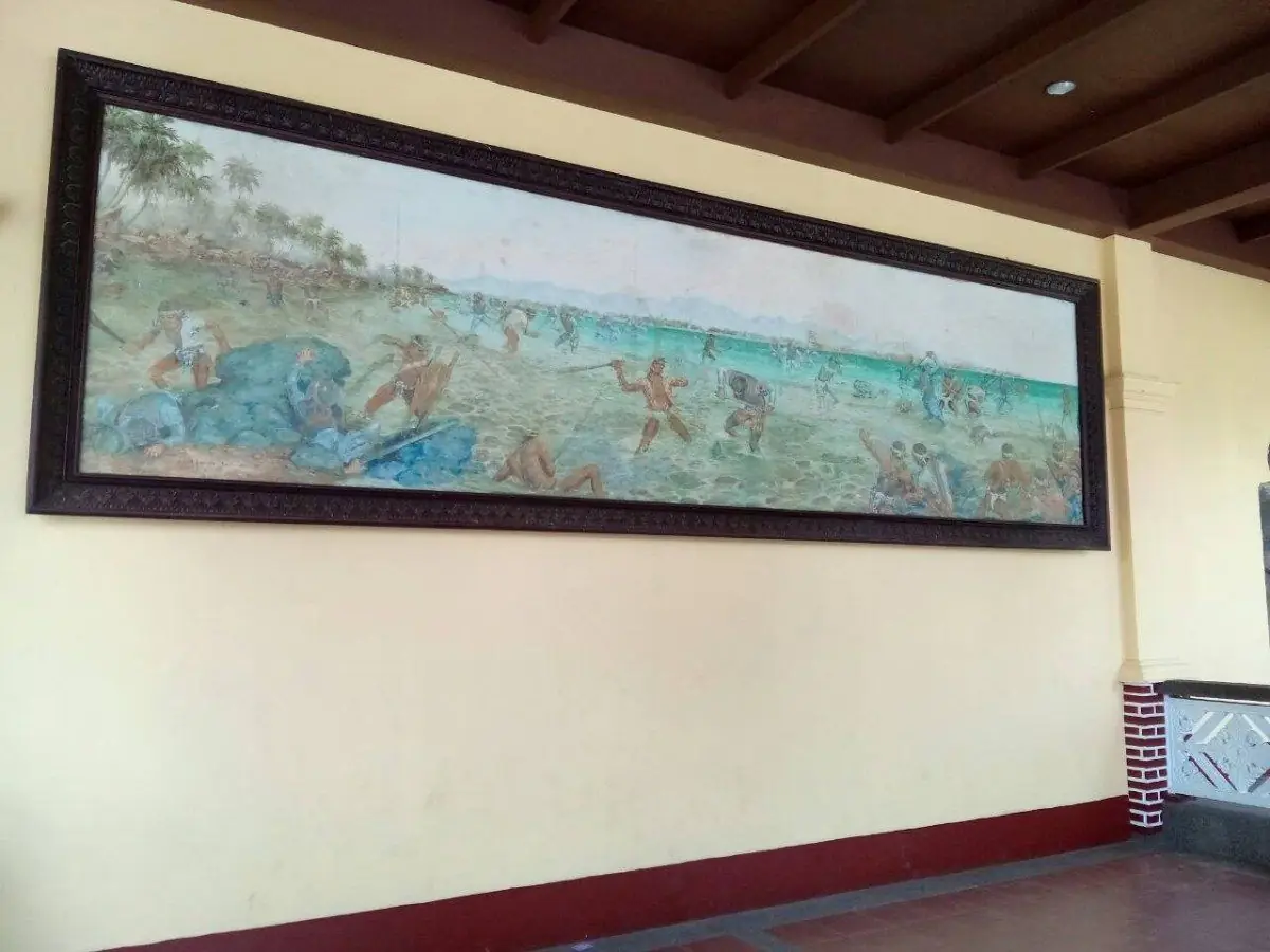
In our family in Quezon, kalamay belongs to Christmas. Every 24th of December we prepare it together with our relatives and our ka-barangay. We make it from glutinous rice, fresh coconut milk, and muscovado sugar, with a family recipe we keep to ourselves.
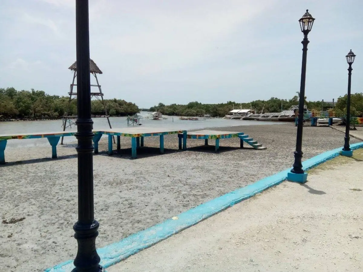
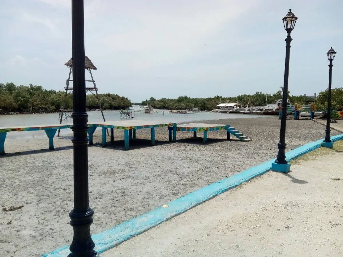
The cooking takes patience. The mixture needs slow, steady stirring over the fire until it thickens, so the whole family gathers around the pot while it cooks. Making the kalamay becomes its own tradition, as much a part of the day as the eating.

Mga Larawan

Quirino Cagayan Valley

The Forest People

The Agta of the Sierra Madre have been the subject of anthropological study since the early American colonial period. Researchers came to document what they believed was a disappearing way of life—nomadic bands moving through the forest, hunting with bows, trading forest products for rice at the forest edge. The Agta obliged by continuing to live in the forest, which the researchers found convenient and which the Agta found unremarkable.

What the researchers did not always appreciate was that the Agta were not unchanging. They adapted. They adopted iron tools when these became available. They traded with lowlanders. Some settled near missions. They learned Ilocano to deal with the settlers who came into their forest. They continued to hunt with bows because bows were effective for certain game and cost nothing to operate. The persistence of the bow was practical, not archaeological.

Quirino's forest today is smaller than it was. The Sierra Madre corridor holds, but the pressures are real—logging concessions, mining claims, and agricultural encroachment from the valley floor. The Agta communities that remain in the interior of Quirino navigate between the forest that is their resource base and the lowland economy that is increasingly their market. They are not a remnant of the past. They are a group of people solving the problem of how to live in a forest that the Philippine state keeps classifying as available for other purposes.

Rizal CALABARZON

The Image from Mexico

In 1626, a carved image of the Virgin Mary completed the last leg of the Manila Galleon trade route and arrived in Antipolo. The image, Our Lady of Peace and Good Voyage, had been commissioned in Mexico and was intended to protect the galleons crossing the Pacific—the Acapulco-Manila run, the longest regular ocean voyage of the colonial era, during which ships were lost to storms, pirates, and navigational failures.

The image was credited with protecting the galleons that carried it across the Pacific on seven occasions. Sailors who survived the crossing donated votive offerings to the shrine. The practice of pilgrimage to Antipolo, originally made by those who sailed the Pacific trade, eventually became the largest annual pilgrimage in the Philippines—hundreds of thousands of devotees climbing the road to the hilltop church each Holy Week and May. The specific maritime context that created the devotion is largely forgotten. What remains is the image and the road to it.

The hill on which Antipolo sits looks west toward Manila Bay. On clear nights, the lights of the city spread across the plain below. The devotees who make the climb come with particular needs—safe travel, healing, a difficult decision, a promise to keep. The shrine's specific function, protecting those who cross dangerous water, has generalized over four centuries into something that covers any crossing, any journey, any uncertainty. The image from Acapulco now watches over a city of 20 million people who have mostly never seen the Pacific.

Romblon MIMAROPA
← All stories
Lugar · Romblon

Romblon, the Marble Island

Step off the ferry from Batangas and you arrive in Romblon town, the capital and the cultural heart of this marble island province.

History guards the harbor. The twin Spanish forts, San Andres and Santiago, were built around 1645 to watch for raiders. Fort San Andres still stands above the azure water, while Fort Santiago, on Calvary Hill, is now a ruin. In the town center rises the St. Joseph Cathedral, founded in 1726, its walls built of coral stone.

Romblon is the Marble Capital of the Philippines. Quarries and workshops fill the town, where artisans turn raw stone into sculpture. You can watch them work, chisel by chisel.

Around the town lie white-sand beaches like Bonbon, and nearby Cobrador Island for quiet snorkeling. Each January the Biniray Festival honors the Santo Nino with a fluvial parade and street dancing.

Mga Larawan

Samar Eastern Visayas
← All stories
Lugar · Calbayog

Calbayog, Coastal Gem of Samar

Calbayog is a coastal city in Samar, one of the trade centers of Eastern Visayas, where the common tongue is Waray-Waray. Its name is said to come from Ka-Labayog, for the rattan vine that once grew thick here.

Its history runs deep. A Jesuit mission settlement first, it became a town in 1785, and in 1910 the Diocese of Calbayog was created by Pope Pius X. The Cathedral of Saints Peter and Paul, designated in 1913, is the mother church of the whole region and one of the most beautiful in the Visayas.

Beyond the city lie rolling hills, forests, and a long coast on the Samar Sea. The Bangon-Bugtong Falls tumble in cascades, the Mapaso Hot Spring soothes tired travelers, and the Malajog Ridge rewards a climb with a fine view. Do not leave without a taste of the local tinapa, the smoked fish that visitors carry home.

Mga Larawan

Sarangani SOCCSKSARGEN

The Fighter and the Province

Manny Pacquiao grew up in General Santos City — technically a separate highly urbanised city, but the city that defines the region and that Sarangani wraps around on three sides. He has been the province's congressman. He has been a senator. He has fought for the WBC title in Las Vegas and returned to General Santos to a crowd of millions lining the road from the airport.

The question that the province asks itself, through Pacquiao, is the same question that every provincial Philippine community asks: what does success mean when it happens somewhere else? Pacquiao trained in the General Santos gym, earned his titles in America, and built his legend in the capital. But the origin story is always Sarangani. The province holds the beginning of the story, even when the story moves on.

The tuna workers of General Santos port and the B'laan farmers of the highland interior share a province with the most famous fighter in Philippine history. They share it without ceremony — Pacquiao is simply from here, the way the yellowfin tuna and the mountain fog and the coconut palms are simply from here. The province does not need his fame to know what it is.

Siquijor Central Visayas
← All stories
Lugar · San Juan

Paliton Beach

On the quiet island of Siquijor, in the town of San Juan, lies Paliton Beach, a serene escape often called Paliton Paradise. It is known for its white sand, clear water, and calm.

Siquijor carries an old reputation as the Island of Fire, a place of healers, folklore, and traditions passed down through generations. Amid all that mystery, Paliton stays a simple, hidden paradise.

For years it was mainly a fishing shore, a place of quiet livelihood. It is better known now, but it keeps its unspoiled charm, palms swaying, waves lapping, and sunsets that set the sky alight. A true paradise for those who take the time to find it.

Mga Larawan

Sorsogon Bicol Region

The Last Fish

In the 1990s, the fishermen of Donsol hunted whale sharks. The sharks were large and their oil was valuable — liver oil for boat maintenance, flesh sold locally and in Bicol markets. A skilled crew could land one or two a season. It was work like any other work.

Then marine biologists arrived and counted. The aggregation at Donsol — hundreds of whale sharks in a single season, feeding on the plankton bloom of the Ticao Pass — was the largest known gathering of the world's largest fish. Nowhere else on earth had this been documented at this scale. The scientists brought the WWF. The WWF brought tourism planners. The tourism planners sat down with the fishermen and asked: what would it take for you to stop hunting them and start showing them to visitors instead?

The answer involved training, boats, and a structured income. Within a few years, the former hunters were guiding snorkellers through the water alongside sharks the length of buses, making sure no one touched them. The Donsol model was studied by conservation organisations worldwide. What it showed is unglamorous and practical: people do not destroy the things that sustain them when the sustaining income is real and reliable. The whale sharks are still there. The fishermen are still there. The arrangement holds.

South Cotabato SOCCSKSARGEN
← All stories
Pagkain · Koronadal

Buko Halo-Halo of Koronadal

Summer is coming is a very Filipino kind of warning, and the answer to it is halo-halo, the country's favorite way to beat the heat. In Koronadal, South Cotabato, there is one place I always stop, Apareja Buko Halo-Halo, a good break on the road from General Santos.

Their halo-halo comes served inside a young coconut, so you can scrape the sweet meat as you go. Inside are sweet potato and banana, red kaong, gelatin, corn flakes, shaved ice and milk, leche flan, and a scoop of ube ice cream on top, with a pitcher of fresh buko juice on the side.

I ordered a buko pie too, making it a triple-buko meal. I never finished the pie, too full of halo-halo, but I left refreshed and happy, already planning to come back.

Mga Larawan

Southern Leyte Eastern Visayas

Guinsaugon

On the morning of February 17, 2006, a slope gave way above the farming community of Guinsaugon in Saint Bernard municipality. The slide was not a river of mud but a collapse of the entire hillside — a wall of earth and rock that moved fast enough to reach the valley floor before anyone in the village had time to run. The elementary school, in session when the slide hit, was buried.

Of an estimated 1,800 people in the village, 154 were pulled alive from the debris. The rescue operation — complicated by the unstable hillside, the depth of the burial, and the remoteness of the community — continued for days. International rescue teams joined Filipino soldiers and volunteers. Most of the survivors were found in the first 24 hours. After that, the work became recovery, not rescue.

Southern Leyte absorbed the loss. The province did not become defined by it — life on the coconut farms and fishing villages continued, and the Liloan ferry crossing continued its daily runs. Guinsaugon is remembered, and the community of survivors rebuilt in a relocated site below the original slope. The mountain above the original village is still there. The village is not.

Sultan Kudarat SOCCSKSARGEN
← All stories
Kasaysayan · Sultan Kudarat

Sultan Kudarat

The province of Sultan Kudarat is named for one of the greatest figures in Mindanao's history: Sultan Muhammad Dipatuan Kudarat, born around 1581.

He ruled the Sultanate of Maguindanao for more than fifty years, from 1619 until his death in 1671, and stood as the most powerful Muslim leader of his time in Mindanao. He was shrewd and relentless, and he held his ground against Spanish expansion when much of the islands had fallen.

One of his speeches is still remembered, a call to his people's pride and honor, their maratabat, and to their resistance against foreign rule. He died in 1671, undefeated, a leader whose name his province still carries with pride.

Mga Larawan

Sulu BARMM

Five Hundred Years

In 1450, a scholar arrived at the island of Sulu from Johor with knowledge of Islamic law, governance, and scripture. He married into the ruling family, established a sultanate, built a court, and died — leaving behind an institution that would survive Spanish attacks, Dutch competition, British influence, American conquest, Philippine independence, and five decades of armed conflict. In 2025, the Sultanate of Sulu still has a sultan.

What survived across those five centuries was not territory — the sultanate lost territory continuously, retreating from Borneo, from the mainland trading posts, eventually from effective control of its own archipelago. What survived was the identity. The Tausug are the people of the current, and the current does not stop for political boundaries or military defeats. The pangalay dance is still performed. The kris is still made. The Jawi letters are still written. The mosques are still full on Friday.

The tragedy of Sulu in recent decades is not that the sultanate's reach is reduced — it was always reduced, across five centuries of contest with larger powers. The tragedy is that the security crisis has closed the archipelago to the scholars, traders, and travellers who would otherwise come to see what five hundred years of Islamic civilisation looks like when it has been built on coral and sustained by the sea.

The Last Battleship Engagement

On the night of October 24 to 25, 1944, the last battleship engagement in the history of naval warfare was fought in the Surigao Strait between Surigao del Norte and Leyte. The Japanese Southern Force — two battleships, a heavy cruiser, and four destroyers — attempted to pass through the strait to reach the American landing fleet at Leyte Gulf. The American Seventh Fleet was waiting for them.

The battle lasted a few hours. American PT boats and destroyers attacked first; then the battleships. The Japanese force was destroyed — the battleships Yamashiro and Fuso sunk, along with three destroyers. Only one Japanese ship escaped. Rear Admiral Masami Ban survived the sinking of his destroyer and was captured. The wreck of the Yamashiro lies approximately 170 metres beneath the surface of the strait.

The fishermen of Surigao today cross the strait daily on their bangkas. The water above the wrecks is the same water their grandfathers crossed when the guns were firing. On a clear morning, with the mountains of Leyte visible on the far side, it is a strait that looks exactly like what it was: a passage between islands that people have been crossing for thousands of years, and that one night became something else.

The Blue River

The Hinatuan Enchanted River is not, strictly speaking, a river. It is the surface expression of an underwater cave system — a place where an aquifer meets the sea and the water emerges with the clarity of something that has been filtered through limestone for a very long time. The blue is not metaphorical. It is the blue of extreme depth and extreme clarity simultaneously: water you can see through to ten metres and that makes ten metres look like three.

The fish come from the sea. Twice a day, the current reverses — or something changes — and saltwater fish of considerable size push upstream into the freshwater channel and wait. The local community feeds them. The fish are not domesticated in any conventional sense, but they have learned that the feeding will happen, and they come for it. Marine biologists have not fully explained what the fish are doing in freshwater. The community has its own explanation, encoded in the name they gave the river: enchanted.

In a country where almost every remarkable natural feature has been given a romantic explanation, the Enchanted River is one that resists comfortable categorisation. The science is real but incomplete. The fish behaviour is observed but not fully understood. The blue of the water is both beautiful and slightly unsettling — the colour of something that comes from deeper than you can see.

Tarlac Central Luzon
← All stories
Kasaysayan · Concepcion

Ninoy Aquino

Benigno Ninoy Aquino Jr. was born on 27 November 1932 in Concepcion, Tarlac. He rose fast in politics, elected mayor of Concepcion at twenty-two and a senator at thirty-four, known for his sharp mind and his call for reform.

His opposition to Ferdinand Marcos led to his arrest soon after martial law was declared in 1972. He spent years in prison, went on a hunger strike, and was later allowed to leave for medical treatment in the United States.

In exile he became a symbol of resistance. In 1983 he chose to come home, believing his return could bring peaceful change. On 21 August 1983 he was assassinated as he stepped off the plane at Manila International Airport, now named in his honor.

His death moved the nation. It led to the People Power Revolution of 1986, the fall of Marcos, and the return of democracy.

Mga Larawan

Tawi-Tawi BARMM

The Oldest Mosque

In 1380 CE — more than a century before Columbus crossed the Atlantic, more than 150 years before Ferdinand Magellan was killed at Mactan — a Muslim scholar named Sheik Makhdum arrived at the island of Simunul in what is now Tawi-Tawi and built a mosque. It was the first mosque in the Philippine archipelago, and it is still there.

The current structure is a reconstruction of the original palm-and-wood building, built on the same ground. The wooden pillars of the original structure are preserved under the reconstruction — physical evidence of an act of faith performed six and a half centuries ago at the edge of the known world. Islam arrived in the Philippines from the south, not from the west: it came up from Borneo and Malacca on trading vessels before the Spanish arrived from the Americas with their own religion.

The Philippines is introduced to most of its own citizens through the Spanish colonial narrative — the churches, the friars, the cross at Magellan's shrine in Cebu. Simunul offers the other side of the story: the Islam that was here first, the traders who came before the soldiers, and the mosque that has outlasted everything the Spanish tried to build in the south. The oldest continuously sacred site in the Philippines is not a church.

Zambales Central Luzon
← All stories
Lugar · San Antonio

Pundaquit

Pundaquit is a quiet coastal barangay in San Antonio, Zambales, and it wins you over with calm rather than noise.

There are no bars or nightlife here, and that is the point. Rolling waves, fine gray sand, and clean water make it a place to breathe out. At three to four hours from Manila, it is even closer than La Union.

Pundaquit is also the jumping-off point for the islands of Anawangin, Capones, and Potipot, each its own reason to come back.

Mga Larawan

← All stories
Lugar · Zambales Mountains

Mount Pinatubo

Mount Pinatubo is an active volcano in the Zambales Mountains, on the meeting point of Zambales, Tarlac, and Pampanga.

In June 1991 it erupted in one of the largest blasts of the twentieth century, reshaping the land for miles and burying it in ash and lahar. In the years since, rainwater has filled the crater to form a lake.

Standing at the rim, it is hard to believe such calm beauty came from such destruction. The crater lake is a sheet of green under a high sun, the land around it carved into peaks and folds. A beautiful disaster.

Mga Larawan

Zamboanga del Norte Zamboanga Peninsula

Four Years in Dapitan

The Spanish colonial government sent Jose Rizal to Dapitan to neutralise him — to remove him from Manila, from the reformist circles, from the printing press. They sent him to the edge of the known Philippines, a Jesuit mission town facing the Bohol Sea from the tip of the Zamboanga Peninsula. They expected obscurity to do what prison had not.

Rizal responded by treating patients who came to him from across the peninsula. He treated over a thousand people, performing eye surgeries and other procedures without the equipment available in Manila. He set up a school for the boys of the community. He built a water system. He collected insects, reptiles, and plants, sending specimens to European naturalists who named species after him. He learned to grow crops. He fell in love with Josephine Bracken.

When he was taken back to Manila in 1896 to stand trial for sedition, he left behind a functioning school, a water supply, and a community that had been served by a doctor when it had none. He also left behind the specimens, the correspondence, and the evidence that the most dangerous thing the Spanish had tried to suppress was not his politics but his attention — the way he looked at the world and found it worth understanding. Dapitan had been sent to contain him. It had not worked.

Zamboanga del Sur Zamboanga Peninsula
← All stories
Lugar · Pagadian

The Inclined Tricycles of Pagadian

Did you know that Pagadian City has one of the most unusual tricycles in the whole country? They call it the inclined tricycle. Its sidecar is tilted upward, by twenty-five to forty degrees, so the passenger stays level as the driver climbs the city's steep, hilly streets.

I love how the way people get around changes from place to place in this country. My ride from the boarding house to my site was something new. I sat almost reclined, the road tilting up, and I felt nervous at first, then settled in. The driver told stories the whole way, so I never got bored, and I arrived safe and sound.

← All stories
Kasaysayan · Zamboanga City

Zamboanga, Asia's Latin City

The Zamboanga Peninsula has been settled for many centuries. Its first people were the Subanen, and it was long the homeland of the Sama-Bajau peoples, among them the Yakan and the Banguingui, with the Tausug arriving from the Sulu archipelago from around the thirteenth century.

Out of that long history grew Zamboanga City, an independent city on the peninsula, today nicknamed Asia's Latin City. It is the home of Chavacano, the only Spanish-based creole language in Asia, a living echo of the colonial centuries.

At its heart stands Fort Pilar, the old Spanish fort of 1635, still watching over the sea. Zamboanga is a crossroads of peoples and tongues, unlike anywhere else in the country.

Mga Larawan

Zamboanga Sibugay Zamboanga Peninsula

The Town That Rebuilt

On the morning of April 4, 1995, armed men arrived in Ipil — then a town in Zamboanga del Sur — and began shooting. They moved through the commercial district, killing people in the shops and the streets, looting what they could carry, and burning what they could not. When they withdrew, 53 people were dead, the town centre was in ruins, and the name Abu Sayyaf had been given a face.

The town rebuilt. This is stated plainly because it is the most important fact about the Ipil raid: not the raid itself but what came after it. The commercial district was reconstructed within a few years. Families who had fled returned. New families arrived. The market that was burned is now the busiest commercial space in the province. The children who were too young to remember the raid are now adults who know about it only from what their parents told them.

Zamboanga Sibugay became a province six years after the raid — a province with Ipil as its capital. The administrative act of creating the province was, among other things, an act of investment: the national government and the provincial community deciding together that Ipil was a place worth building institutions around, not a place to be abandoned. The institutions are there now. The market is busy. The town is a provincial capital. The morning of April 4, 1995 is in the history books, and the town is still here.