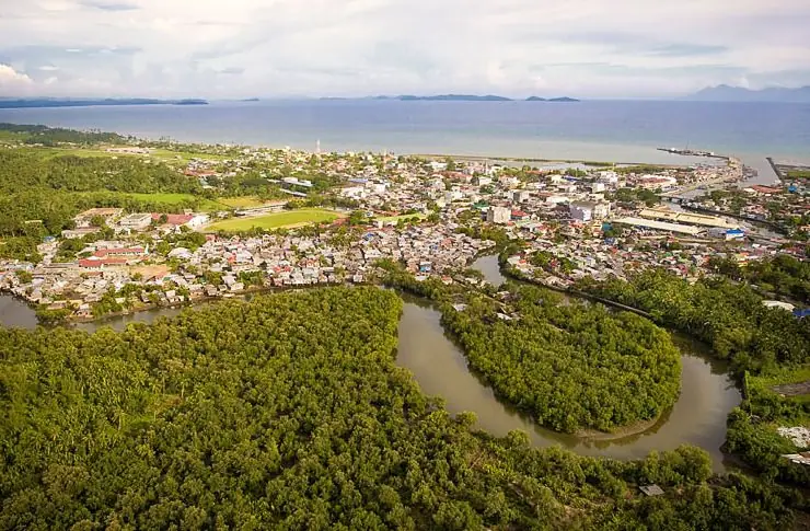
Samar—formally Western Samar, but known simply as Samar—occupies the western and central portions of Samar Island in Eastern Visayas. Its capital, Catbalogan City, is the administrative hub of the province; Calbayog City, also in Samar, is the island's largest city. Samar is defined by its cave systems—particularly the Sohoton Natural Bridge and Caves—its dense forests, and its history as one of the most actively contested territories during the Philippine-American War and World War II.
The Cave Province
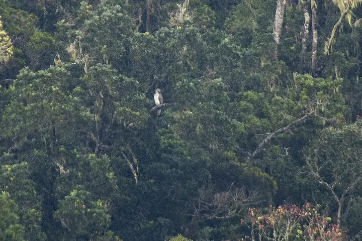
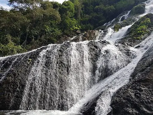
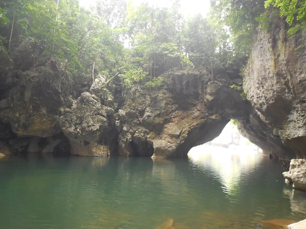
The Sohoton Cave and Natural Bridge Park in Basey, first set up as a national park in 1935, has caves, underground rivers, waterfalls, limestone formations, thick forest and a natural stone bridge. The formations were shaped by the same geological processes that created Palawan's underground river, but at a smaller and more accessible scale. Samar Island Natural Park, shared with Northern Samar and Eastern Samar, protects the largest unbroken stretch of old-growth forest in the Philippines.
The Sohoton Natural Bridge is a natural stone arch over the river, inside a protected park of about 840 hectares. Digs in the Sohoton Caves have turned up ancient stone flake tools. The park is reached mainly by boat along the river from Basey.
The 2024 census counted 806,179 people in Samar's 24 municipalities and two cities. Catbalogan is the capital, while Calbayog is the most populous city. The province is bordered by Northern Samar to the north, Eastern Samar to the east, and Leyte and Leyte Gulf to the south, and on the west it faces the Samar Sea, where several of its islands lie. About nine in ten households speak Waray-Waray. On 8 November 2013 Typhoon Yolanda (Haiyan) caused heavy damage, especially in Basey, Marabut and Santa Rita.