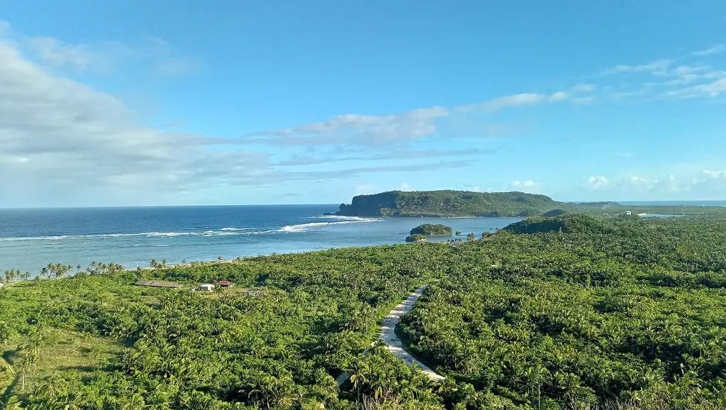
Eastern Samar faces the Pacific Ocean directly, its coastline exposed to weather systems that build across thousands of kilometers of open water before making landfall here. It is one of the most typhoon-prone provinces in the Philippines — a fact that has shaped its architecture, its agriculture, and the psychological endurance of its people.
Borongan City is the provincial capital, a city of modest size on the eastern coast. It serves as the administrative center and the main commercial hub, connected by road to Tacloban in Leyte, the gateway to Eastern Visayas, and served by the small Borongan Airport.
Super Typhoon Yolanda (international name: Haiyan) made its first Philippine landfall near Guiuan, Eastern Samar on November 8, 2013. PAGASA estimated ten-minute winds of 235 km/h at landfall, and PAGASA measured waves of 5 to 6 meters on the coasts of Samar and Leyte; it was among the most intense tropical cyclones ever recorded. About 6,300 people died in the Philippines, and Eastern Samar was among the hardest-hit provinces.
The province is a place of considerable natural beauty — surf beaches, coral reefs, river systems descending from forested mountains — that exists alongside the material reality of recurring disaster and incomplete recovery.
The 2024 census counted 472,683 people in Eastern Samar's 22 municipalities and one component city, Borongan, the capital and most populous local government. The province covers about 4,660 square kilometers of eastern and southern Samar, facing the Philippine Sea to the east and Leyte Gulf to the south, with Northern Samar and Samar province as its land neighbors. Nearly everyone is Waray: in the 2000 census, 97.8 percent of residents were Waray. Fishing and farming, including coconut, copra, rice and corn, are the main livelihoods, and Guiuan, with Calicoan and Homonhon islands, is the center of tourism.