Northern Samar occupies the northern portion of Samar Island in Eastern Visayas. It is a province of dense forest, rough coastline, and a people—the Waray—known for tenacity. Its capital, Catarman, sits on a coastal plain facing the Philippine Sea. The province remains one of the least developed in the Visayas, which has preserved much of its natural character.
Land and Water
The province is largely mountainous interior ringed by coastal lowlands. The Samar Island Natural Park, the largest land protected area in the Philippines, spreads across the island's interior and into Northern Samar. The Biri-Larosa Protected Landscape and Seascape off the northern tip protects the unusual rock formations of Biri Island.
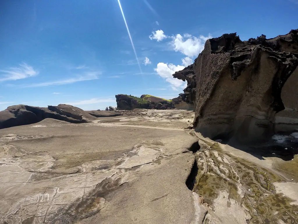
Biri Island has a large number of unusual rock formations along its northern shore, facing the Philippine Sea. Bel-at, with its tidal pool, is one of the best known. They are part of the Biri-Larosa Protected Landscape and Seascape.
The Pacific coastline is exposed to some of the strongest typhoons in the world. Northern Samar has been struck repeatedly by major storms, including Typhoon Ruby (Hagupit) in 2014. Communities here have developed an ingrained resilience that is not metaphor—it is practical knowledge passed down through generations.
The 2024 census counted 645,789 people in Northern Samar, which has 24 municipalities. Most speak Waray; Cebuano is spoken especially in the island town of San Antonio, and Inabaknon on Capul.