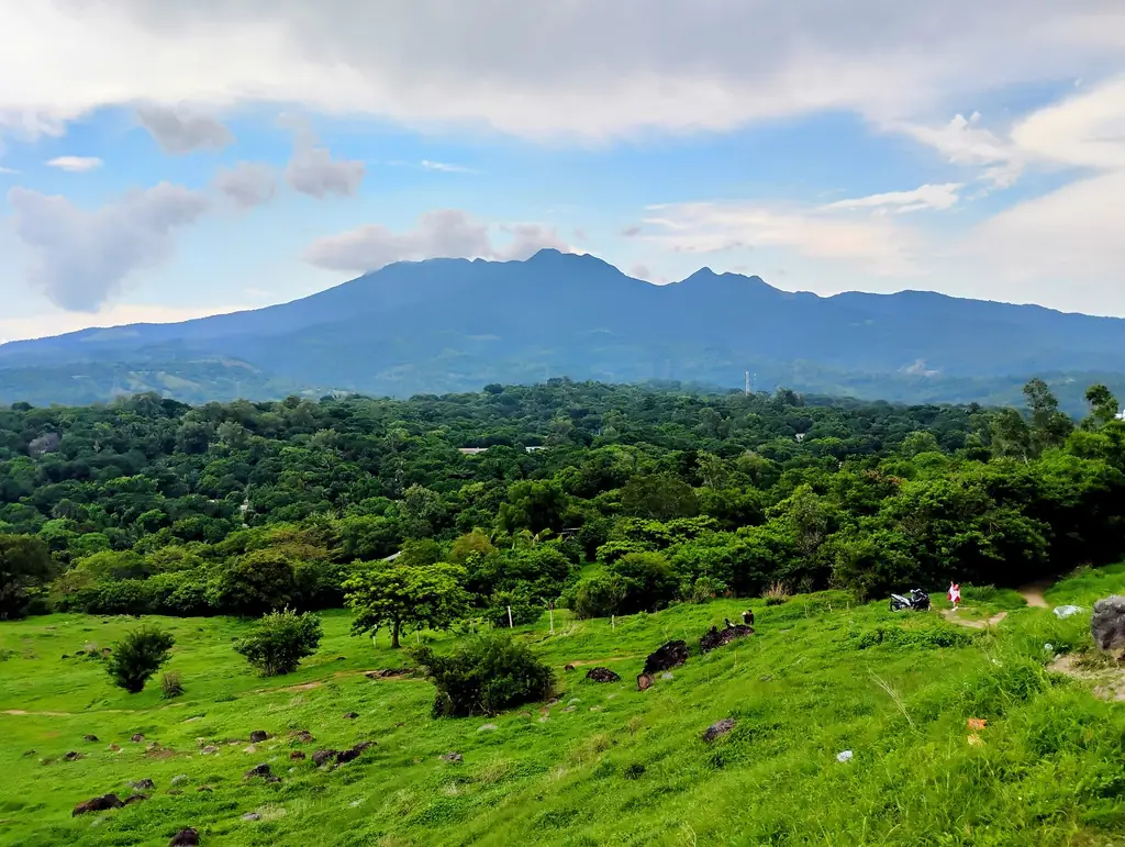
Bataan is a peninsula on the western side of Manila Bay, in Central Luzon. It juts south into the bay, separated from Cavite province across the water. The peninsula is defined by the Bataan mountain range, which runs down its spine, and by its particular place in the history of the Second World War — a place where Filipino and American soldiers made their last organized stand against the Japanese in the spring of 1942.
Balanga City is the commercial and administrative center of the province — a medium-sized city that has grown significantly since the 1990s with industrialization along Manila Bay. The city is clean and functional, with a well-maintained heritage zone around its old church.
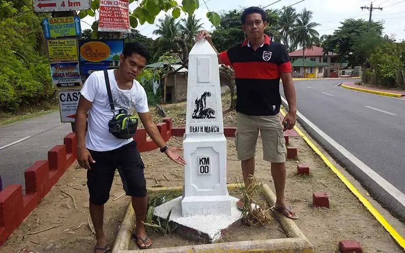
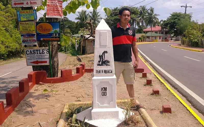
When Japanese forces invaded Luzon in December 1941, Filipino and American troops were pushed back into the Bataan Peninsula, where they held for three months against superior forces. The fall of Bataan on April 9, 1942, was followed immediately by the Bataan Death March — one of the most documented war crimes of the Pacific War.
Modern Bataan is an industrial province — home to the Bataan Economic Zone and refineries along the bay. The war history is central to provincial identity, marked by memorials, museums, and an annual commemoration on Araw ng Kagitingan (Day of Valor) every April 9.
The 2024 census counted 891,440 people in Bataan's 11 municipalities and one component city, Balanga, the capital; Mariveles is the largest local government. The province covers about 1,373 square kilometers. Two volcanic mountain groups form its spine: Mount Natib, at 1,253 meters, in the north, and Mount Mariveles, the highest point at about 1,388 to 1,398 meters, in the south, with Mount Samat as one of its side cones. Most people are Tagalog (88 percent), with Kapampangan (4 percent) and Sambal (2 percent) minorities; the Ayta Magbeken were the peninsula's first inhabitants.