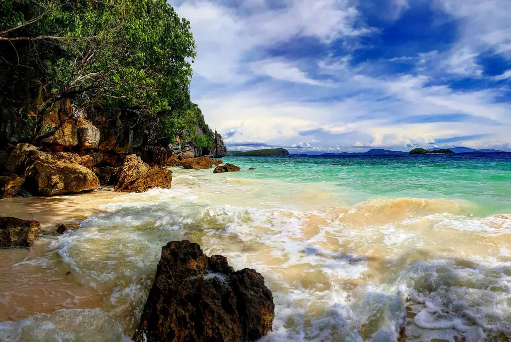
The Dinagat Islands lie northeast of mainland Surigao del Norte, on the south side of Leyte Gulf, with Leyte across the Surigao Strait to the west. The narrow Gaboc Channel separates them from Nonoc and Awasan islands of Surigao del Norte. The province was formally declared in 2006 after a protracted legal struggle, and its existence as a province has been contested and reaffirmed multiple times through the courts.
San Jose is the provincial capital, a small town on the main island of Dinagat. The island group includes Dinagat Island, Hibuson Island, and several smaller islands. The economy runs on nickel mining, fishing and farming. Only about 41 percent of the land can be farmed because the terrain is rocky and highly mineralized.
In February 2010 the Supreme Court ruled that Dinagat Islands did not meet the land area and population requirements to be a province, which would have returned its towns to Surigao del Norte. In April 2011 the court reversed its decision, and the case was closed in 2012.
Dinagat is one of the smaller provinces in the Philippines by population, and one of its newest. Much of the main island is still forested, and it is a Key Biodiversity Area.
The 2024 census counted 120,533 people in Dinagat Islands. The main island, Dinagat, runs about 60 kilometers from north to south, and its highest point, Mount Redondo, reaches 939 meters. Basilisa is the most populous of the seven municipalities. The name means "of the sea" in the Visayan languages.