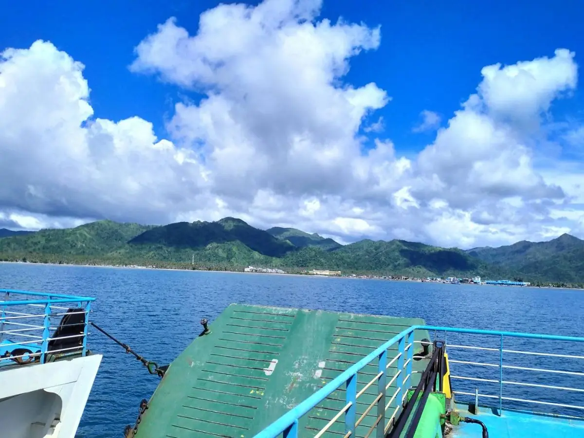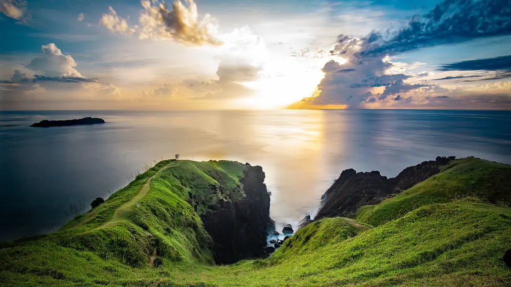
Catanduanes is an island province in the Bicol Region, separated from the southeastern tip of Luzon by the Maqueda Channel. It faces the Philippine Sea directly to the east, so it is often the first land struck by typhoons coming from the Pacific. This exposure has shaped everything about the island: its architecture, its agriculture, its people, and its character. The province calls itself the 'Land of the Howling Winds.'
In the Path of the Storm
The island is roughly triangular, mountainous in the interior, with a narrow coastal strip around most of its perimeter. The eastern coast, facing the Pacific, is where typhoon swells are most severe and where the surf breaks are found, including Puraran in Baras, home of the wave called Majestic.
Puraran Beach in Baras, on the eastern coast, is one of the top surfing spots in the Philippines. Its wave, known as Majestic, draws surfers from around the world during the surfing season, July to October.
Virac, the capital, is a compact provincial town on the southwestern coast, sheltered from direct Pacific exposure. The town has the province's only airport and serves as the primary entry point for the island. Despite its remote location and regular typhoon damage, Catanduanes has had the highest human development index in the Bicol Region.
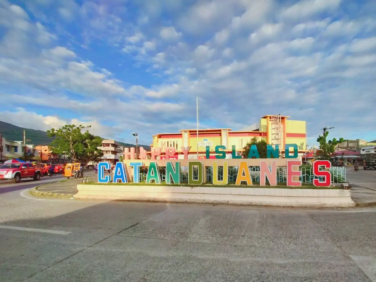
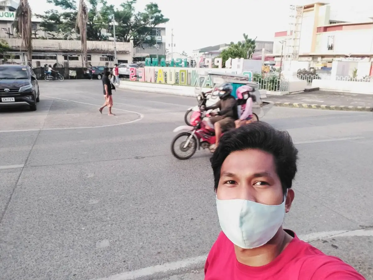
The 2024 census counted 261,169 people in Catanduanes's 11 municipalities. The province is the country's top producer of abaca fiber: in 2015 its 12,789 abaca farmers produced 23,550 metric tons, about 40 percent of the national total, and Republic Act No. 11700 of 2022 declared it the Abaca Capital of the Philippines. It also calls itself the Happy Island.