Southern Leyte occupies the tapered southern end of Leyte Island, narrowing to the Sogod Bay coast and ending at the Liloan strait where ferries cross to Surigao del Norte. It is a province of forested mountains, narrow coastal strips, and the kind of quiet that comes from being neither a beginning nor an end of a journey but a passage between the Visayas and Mindanao.
Maasin CityCapital
1,799 km²Area
18 + 1 cityMunicipalities
VisayasIsland Group
Maasin City, the capital, sits on the western coast facing Sogod Bay — a city that functions as the commercial center for the entire southern Leyte corridor. The province is compact but rugged: the interior mountains rise steeply from both coasts, leaving farming communities on narrow coastal benches and fishing communities below the cliffs.
★
The Liloan Crossing
The Liloan strait between Southern Leyte and Surigao del Norte — roughly five kilometers across — is one of the busiest inter-island ferry crossings in the country. Travelers and trucks moving between the Visayas and Mindanao by land use this crossing daily, making Southern Leyte the literal bridge between the two island groups.
Southern Leyte had 434,372 people in the 2024 census, living in 18 towns and the city of Maasin. Besides the southern part of Leyte island, the province takes in Panaon, Limasawa, San Pedro and San Pablo islands. Limasawa is where the first Mass on Philippine soil is believed to have been held in 1521.
Leyte at the Southern End
Southern Leyte shares the broader history of Leyte Island — Spanish colonization, the Catholic parish system, the coconut economy introduced under American administration — but its southern position kept it somewhat peripheral to the major events centred on Tacloban and northern Leyte. The province was formally constituted from the southern municipalities of Leyte province in 1959.
1521
First Mass at Limasawa
Limasawa island, now a town of Southern Leyte, is believed to be where the first Mass on Philippine soil was celebrated during the Magellan expedition in 1521. For this reason it is often called the birthplace of Christianity in the Philippines.
1942
Kangleon's Guerrilla Conference at Sogod
In 1942 Ruperto Kangleon held a conference in Sogod to unite the guerrilla groups on the island. An earlier attempt to meet in Malitbog had failed because many leaders stayed away.
1944–1945
Liberation
American troops landed on Leyte on 20 October 1944. Through 1944 and 1945, Philippine Commonwealth troops and Filipino guerrillas fought the Japanese forces to free the southern part of the island.
1959
Southern Leyte Established
Republic Act No. 2227, approved on 22 May 1959, made the third district of Leyte a separate province with Maasin as its capital. Distance from Tacloban and the language difference between the Cebuano-speaking southwest and the Waray-speaking northeast were part of the argument for it. The province began with 16 towns. San Ricardo, Tomas Oppus and Limasawa were created later.
2006
Guinsaugon Landslide
On 17 February 2006, after ten days of heavy rain, a cliff face on a ridge along the Philippine Fault collapsed and buried the village of Guinsaugon in Saint Bernard, including its elementary school, which was in session. The official death toll was 1,126.
Southern Leyte's culture is Visayan and Cebuano-speaking, and Catholic in practice, though the province belongs to the Eastern Visayas region. The province has a quiet agricultural character shaped by the coconut and sugarcane economy, with fishing communities along both the Sogod Bay and Surigao Strait coasts.
Agta People
The interior mountains of Southern Leyte are home to a small Agta community — one of the remnant Negrito populations of the Philippines. The Agta of Leyte practice a mixed economy of forest foraging, small-scale farming, and occasional labor in lowland communities. Their presence in the interior has been documented by anthropologists, though contact with their communities requires care and community consent.
Maasin City Fiesta
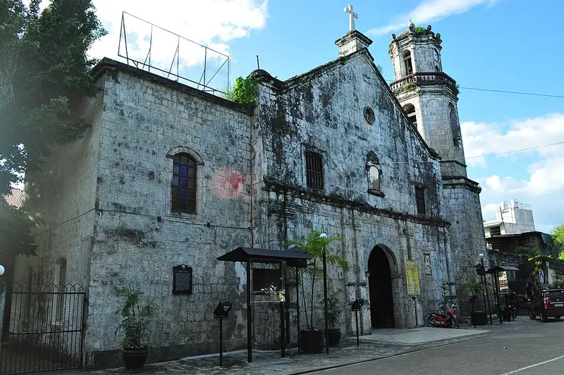
The feast of Saint Francis of Assisi — celebrated in Maasin City each October — is the provincial capital's largest annual gathering. Street processions, cultural presentations, and a trade fair mark the week. The Maasin Cathedral, a significant colonial heritage structure in the city center, is the focal point of the religious observances.
★
Whale Shark Watching at Sogod Bay
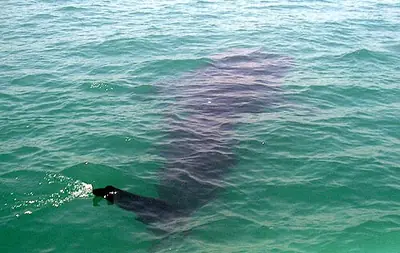
Sogod Bay is one of the least-known whale shark aggregation sites in the Philippines — a gathering that has attracted the attention of marine researchers but remains largely off the mainstream tourist circuit. The sharks feed in the bay's plankton-rich waters, particularly from October to May, at depths accessible to snorkellers.
Southern Leyte's cuisine follows the Visayan pattern — rice-based, relying on fresh seafood from Sogod Bay and the strait, with coconut milk and vinegar as the principal flavor agents. The sugarcane grown in the interior municipalities also shapes a local tradition of muscovado sugar confections.
Sinabawang Isda (Fish Soup)
The local preparation of fish soup is straightforward and clean: fresh fish — grouper, snapper, or whatever the morning's catch provides — simmered with ginger, tomatoes, and green onion in a light broth. The fish is not overcooked. The broth carries the sea. Eaten with rice at every meal along the Sogod Bay coast.
A sticky rice cake cooked with coconut milk and muscovado sugar until dense and glossy. Maasin City has its own version — darker and more intensely flavoured than the kalamay of other Visayan provinces, owing to the local muscovado from the province's sugarcane fields. Sold in clay pots sealed with banana leaf at the Maasin public market.
✦
Maasin Public Market
The Maasin public market, a short walk from the city's waterfront, is the best place to find fresh Sogod Bay seafood in the early morning. The kalamay vendors set up before dawn. Arrive by 7am for the full selection — by mid-morning, the best catch is gone.
Most people in Southern Leyte speak Cebuano, in a variety close to Boholano. The area was settled largely from Bohol and Cebu, and the 2000 census recorded 80.7% of residents as Bisaya, 12.6% as Boholano and 5.2% as Cebuano, against 0.15% Waray. In short, the province's speech is close to that of Bohol across the Canigao Channel.
CebuanoMain language
Boholano-typeVariety
Waray, KinabalianAlso spoken
Filipino, EnglishSecond languages
Where Waray Is Heard
Waray, the main language of Leyte province and Samar, is heard mainly in barangays near the Waray-speaking towns of Abuyog and Mahaplag to the north. Filipino and English are used as second languages in school, government and business.
Kinabalian
Kinabalian, a small local language, is spoken alongside Cebuano in the towns of San Juan and Anahawan.
★
A Language Line Across the Island
When Leyte was still one province, the difference between the Cebuano-speaking southwest and the Waray-speaking northeast was one of the reasons given for creating Southern Leyte in 1959.
Southern Leyte is reached from Tacloban in northern Leyte by road — a three-to-four hour drive through the mountainous interior of the island. From Mindanao, the Lipata port in Surigao del Norte connects by ferry to Liloan in the province's southernmost tip. Maasin City is the logical base.
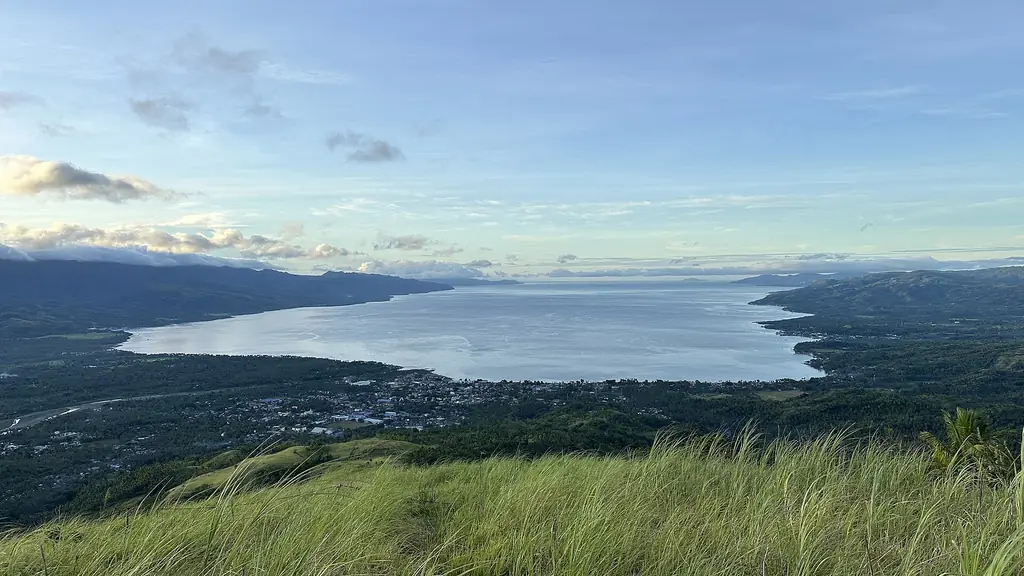
The bay between the eastern coast of Southern Leyte and the western coast of Leyte proper — a long enclosed body of water that is a designated whale shark aggregation area. Interaction tours operate from Sogod municipality. The bay is also a productive fishing ground and the seafood restaurants along its shore reflect this directly.
The Cathedral of Saint Francis of Assisi in Maasin City — built in the colonial period from coral stone, with subsequent reconstruction and expansion. The cathedral sits at the center of the city's heritage zone and anchors the October fiesta. The facade and the interior retain colonial-period stonework.
Liloan Ferry Crossing
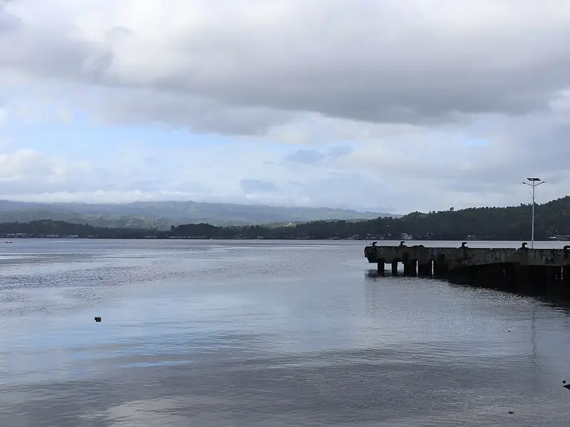
The short strait crossing between Liloan municipality and Lipata in Surigao del Norte. Passenger and vehicle ferries run throughout the day. The crossing itself offers views of both island coastlines simultaneously — a rare geographical moment where the Visayas and Mindanao are visible at the same time.
✦
Whale Shark Interaction in Sogod Bay
The Sogod Bay whale shark interaction operates under protocols similar to Donsol — no touching, guide-accompanied, limited boat numbers. Book through the municipal tourism office in Sogod. The aggregation here is smaller and less documented than Donsol, but the experience is quieter and less commercialised.
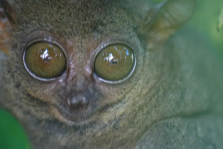
Sogod Bay cuts deep into the middle of Southern Leyte, and its reefs and seasonal whale sharks draw divers from Maasin around to Padre Burgos. A three-year Southern Leyte Coral Reef Conservation Project surveyed the bay's reefs and taught residents about protecting them. The forested interior is part of the range of the Philippine tarsier. The Philippine Fault runs through the province, and its steep slopes make landslides a real hazard after heavy rain, as at Guinsaugon in 2006.
The largest fish in the world, a filter feeder that eats plankton and small fish. Whale sharks visit Sogod Bay, and most visitors come to see them between October and April.
Field note: Do not touch, ride or feed whale sharks. Follow the local operator's distance rules and keep boats slow.
On the morning of February 17, 2006, a slope gave way above the farming community of Guinsaugon in Saint Bernard municipality. The slide was not a river of mud but a collapse of the entire hillside — a wall of earth and rock that moved fast enough to reach the valley floor before anyone in the village had time to run. The elementary school, in session when the slide hit, was buried.
Of an estimated 1,800 people in the village, 154 were pulled alive from the debris. The rescue operation — complicated by the unstable hillside, the depth of the burial, and the remoteness of the community — continued for days. International rescue teams joined Filipino soldiers and volunteers. Most of the survivors were found in the first 24 hours. After that, the work became recovery, not rescue.
Southern Leyte absorbed the loss. The province did not become defined by it — life on the coconut farms and fishing villages continued, and the Liloan ferry crossing continued its daily runs. Guinsaugon is remembered, and the community of survivors rebuilt in a relocated site below the original slope. The mountain above the original village is still there. The village is not.